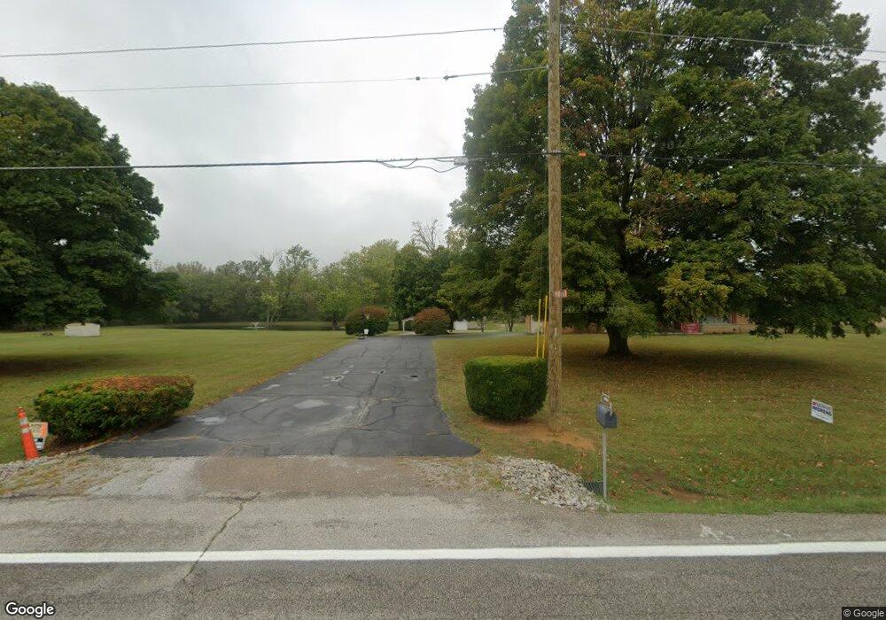
771 State Route 133 Felicity, OH 45120
Estimated Value: $216,000 - $298,336
3
Beds
2
Baths
1,392
Sq Ft
$191/Sq Ft
Est. Value
About This Home
This home is located at 771 State Route 133, Felicity, OH 45120 and is currently estimated at $265,584, approximately $190 per square foot. 771 State Route 133 is a home located in Clermont County with nearby schools including Felicity-Franklin Local Elementary School, Felicity-Franklin Local Middle School, and Felicity-Franklin Local High School.
Ownership History
Date
Name
Owned For
Owner Type
Purchase Details
Closed on
Aug 6, 2021
Sold by
Maynard James and Maynard Joyce
Bought by
Schadle Randall P and Coppedge Rhonda
Current Estimated Value
Home Financials for this Owner
Home Financials are based on the most recent Mortgage that was taken out on this home.
Original Mortgage
$127,380
Outstanding Balance
$96,753
Interest Rate
2.2%
Mortgage Type
New Conventional
Estimated Equity
$168,831
Purchase Details
Closed on
Mar 24, 2010
Sold by
Lail Charles B
Bought by
Maynard James and Maynard Joyce
Purchase Details
Closed on
Aug 24, 1992
Purchase Details
Closed on
Aug 1, 1992
Create a Home Valuation Report for This Property
The Home Valuation Report is an in-depth analysis detailing your home's value as well as a comparison with similar homes in the area
Home Values in the Area
Average Home Value in this Area
Purchase History
| Date | Buyer | Sale Price | Title Company |
|---|---|---|---|
| Schadle Randall P | $200,000 | 360 American Title Services | |
| Maynard James | $160,000 | Attorney | |
| -- | $140,000 | -- | |
| -- | $140,000 | -- |
Source: Public Records
Mortgage History
| Date | Status | Borrower | Loan Amount |
|---|---|---|---|
| Open | Schadle Randall P | $127,380 |
Source: Public Records
Tax History Compared to Growth
Tax History
| Year | Tax Paid | Tax Assessment Tax Assessment Total Assessment is a certain percentage of the fair market value that is determined by local assessors to be the total taxable value of land and additions on the property. | Land | Improvement |
|---|---|---|---|---|
| 2024 | $2,323 | $68,960 | $21,110 | $47,850 |
| 2023 | $2,341 | $68,960 | $21,110 | $47,850 |
| 2022 | $2,039 | $54,750 | $14,670 | $40,080 |
| 2021 | $2,041 | $54,750 | $14,670 | $40,080 |
| 2020 | $2,036 | $54,750 | $14,670 | $40,080 |
| 2019 | $2,192 | $56,290 | $17,820 | $38,470 |
| 2018 | $2,194 | $56,290 | $17,820 | $38,470 |
| 2017 | $2,007 | $56,290 | $17,820 | $38,470 |
| 2016 | $1,880 | $45,020 | $14,250 | $30,770 |
| 2015 | $1,749 | $45,020 | $14,250 | $30,770 |
| 2014 | $1,749 | $45,020 | $14,250 | $30,770 |
| 2013 | $2,027 | $49,150 | $14,950 | $34,200 |
Source: Public Records
Map
Nearby Homes
- 715 Walnut St
- 3299 Ohio 756
- Acres Hopewell Rd
- 0 Hopewell Rd Unit 1846098
- 1000 Triple Two Farm Rd
- 4476 Harris Ln
- 527 State Route 222
- 523 Ohio 222
- 104 Country Way Ln
- 1109 Ohio 133
- 403 Felicity Higginsport Rd
- 514 Felicity Cedron Rural Rd
- 444 Felicity Cedron Rural Rd
- 0 Shinkles Ridge Rd Unit 5141737
- 3381 Ohio 774
- 1606 Lenroot Rd
- 20 ac Goodwin Schoolhouse Point Isabel Rd
- ac Goodwin Schoolhouse Point Isabel Rd
- 5.08 Ac Bear Creek Rd
- 3843 St Rt 756
- 775 State Route 133
- 2.898ac St Rt 774
- 2817 Us 52
- 0 Burns Rd Unit 1739354
- 761 State Route 133
- 759 State Route 133
- 757 State Route 133
- 755 St Rt 133
- 751 State Route 133
- 0 Mt Zion Rd Unit 1588953
- 0 Mt Zion Rd Unit 769990
- 0 Vine St Unit 1563411
- 2 Felicity Meadows Rd
- 1 Felicity Meadows Rd
- 0 Vine St Unit 1519978
- 0 Mt Zion Rd Unit 1765969
- 2235 St Rt 743
- 2962 St Rt 759
- _ Preston Rd
- 2476 Smyrna Rd