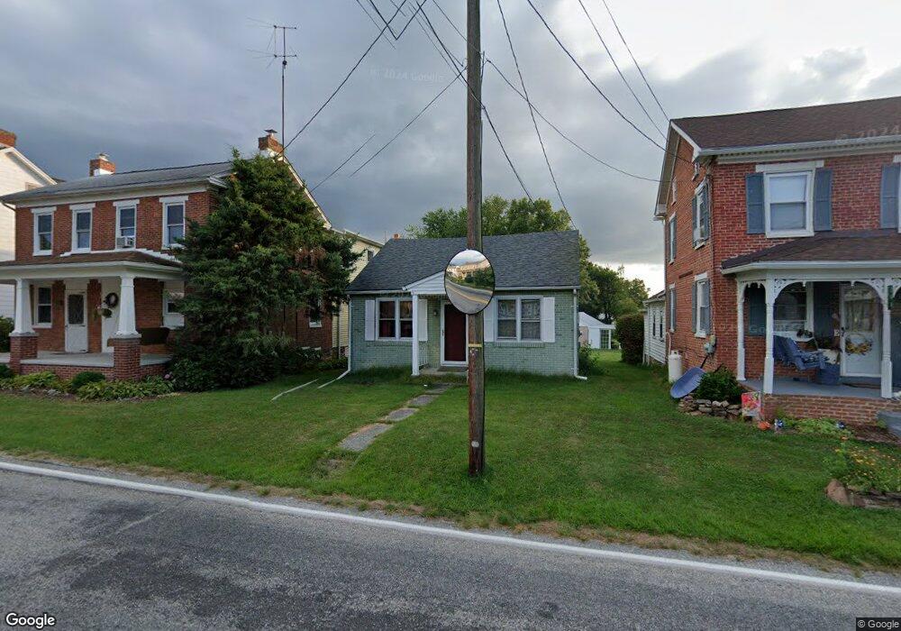
771 White Hall Rd Littlestown, PA 17340
Estimated Value: $202,264 - $285,000
2
Beds
1
Bath
1,084
Sq Ft
$218/Sq Ft
Est. Value
About This Home
This home is located at 771 White Hall Rd, Littlestown, PA 17340 and is currently estimated at $236,066, approximately $217 per square foot. 771 White Hall Rd is a home located in Adams County with nearby schools including Rolling Acres El School, Maple Avenue Middle School, and Littlestown Senior High School.
Ownership History
Date
Name
Owned For
Owner Type
Purchase Details
Closed on
Sep 13, 2022
Sold by
Wayne Matthews George
Bought by
Hanna Harold E and Hanna Barbara K
Current Estimated Value
Purchase Details
Closed on
Dec 4, 2018
Sold by
Bostic Kimberly and Bostic Jayme
Bought by
Cummings Earle E
Purchase Details
Closed on
Apr 6, 2010
Sold by
Cummings Earle E and Gill Tina E Cummings
Bought by
Bostic Kimberly
Home Financials for this Owner
Home Financials are based on the most recent Mortgage that was taken out on this home.
Original Mortgage
$120,000
Interest Rate
6%
Mortgage Type
Purchase Money Mortgage
Create a Home Valuation Report for This Property
The Home Valuation Report is an in-depth analysis detailing your home's value as well as a comparison with similar homes in the area
Home Values in the Area
Average Home Value in this Area
Purchase History
| Date | Buyer | Sale Price | Title Company |
|---|---|---|---|
| Hanna Harold E | $47,000 | -- | |
| Matthews George Wayne | $59,000 | -- | |
| Cummings Earle E | -- | -- | |
| Bostic Kimberly | $122,000 | -- |
Source: Public Records
Mortgage History
| Date | Status | Borrower | Loan Amount |
|---|---|---|---|
| Previous Owner | Bostic Kimberly | $120,000 |
Source: Public Records
Tax History Compared to Growth
Tax History
| Year | Tax Paid | Tax Assessment Tax Assessment Total Assessment is a certain percentage of the fair market value that is determined by local assessors to be the total taxable value of land and additions on the property. | Land | Improvement |
|---|---|---|---|---|
| 2025 | $2,394 | $123,500 | $28,200 | $95,300 |
| 2024 | $2,291 | $123,500 | $28,200 | $95,300 |
| 2023 | $2,256 | $124,000 | $28,200 | $95,800 |
| 2022 | $2,240 | $124,000 | $28,200 | $95,800 |
| 2021 | $2,162 | $124,000 | $28,200 | $95,800 |
| 2020 | $2,131 | $124,000 | $28,200 | $95,800 |
| 2019 | $2,087 | $124,000 | $28,200 | $95,800 |
| 2018 | $2,036 | $123,600 | $27,800 | $95,800 |
| 2017 | $1,975 | $123,600 | $27,800 | $95,800 |
| 2016 | -- | $123,600 | $27,800 | $95,800 |
| 2015 | -- | $123,600 | $27,800 | $95,800 |
| 2014 | -- | $123,600 | $27,800 | $95,800 |
Source: Public Records
Map
Nearby Homes
- 780 White Hall Rd
- 464 Locust Ln
- 67 Cedarfield Dr
- 138 Cedarfield Dr Unit 71
- 28 Bonniefield Cir Unit 25
- 0 Littlestown Rd
- 1 Hickory Ave
- 70 Sells Station Rd
- 80 Sells Station Rd
- 48 Cannon Ln Unit 105
- 27 Maple St
- 8 Maple St
- 4900 Hanover Rd
- 13 N Pine St
- 34 W Hanover St
- 3801 Baltimore Pike
- 1442 Honda Rd
- 0 Locust Dr Unit PAAD2015910
- 20c Locust Dr
- 345 Smoketown Rd
- 777 White Hall Rd
- 763 White Hall Rd
- 783 White Hall Rd
- 770 White Hall Rd
- 760 White Hall Rd
- 795 White Hall Rd
- 790 White Hall Rd
- 745 White Hall Rd
- 744 White Hall Rd
- 735 White Hall Rd
- 724 White Hall Rd
- 1045 Locust Ln
- 804 White Hall Rd
- 712 White Hall Rd
- 959 Locust Ln
- 935 Locust Ln
- 1040 Locust Ln Unit 2
- 1081 Locust Ln
- 1070 Locust Ln
- 1090 Locust Ln