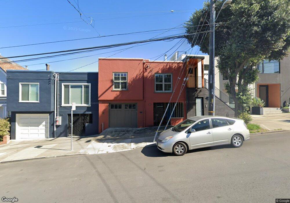
771 Wisconsin St San Francisco, CA 94107
Potrero NeighborhoodEstimated Value: $1,598,000 - $2,120,004
3
Beds
2
Baths
1,595
Sq Ft
$1,143/Sq Ft
Est. Value
About This Home
This home is located at 771 Wisconsin St, San Francisco, CA 94107 and is currently estimated at $1,823,001, approximately $1,142 per square foot. 771 Wisconsin St is a home located in San Francisco County with nearby schools including Thomas Starr King Elementary School, Aptos Middle School, and Thomas Edison Charter Academy.
Ownership History
Date
Name
Owned For
Owner Type
Purchase Details
Closed on
Jul 20, 2017
Sold by
Sundell Carol Ann
Bought by
Sundell Carol A
Current Estimated Value
Purchase Details
Closed on
Oct 30, 2006
Sold by
Yuthok Gyalden
Bought by
Sundell Carol Ann
Purchase Details
Closed on
Oct 10, 2006
Sold by
Mcpherson Mary Alena and Perry Julie Ann
Bought by
Sundell Carol Ann
Create a Home Valuation Report for This Property
The Home Valuation Report is an in-depth analysis detailing your home's value as well as a comparison with similar homes in the area
Home Values in the Area
Average Home Value in this Area
Purchase History
| Date | Buyer | Sale Price | Title Company |
|---|---|---|---|
| Sundell Carol A | -- | None Available | |
| Sundell Carol Ann | -- | Fidelity National Title Co | |
| Sundell Carol Ann | $1,010,000 | Fidelity National Title Co |
Source: Public Records
Tax History Compared to Growth
Tax History
| Year | Tax Paid | Tax Assessment Tax Assessment Total Assessment is a certain percentage of the fair market value that is determined by local assessors to be the total taxable value of land and additions on the property. | Land | Improvement |
|---|---|---|---|---|
| 2025 | $13,898 | $1,205,794 | $844,060 | $361,734 |
| 2024 | $13,898 | $1,182,152 | $827,510 | $354,642 |
| 2023 | $13,698 | $1,158,974 | $811,285 | $347,689 |
| 2022 | $13,453 | $1,136,250 | $795,378 | $340,872 |
| 2021 | $13,221 | $1,113,972 | $779,783 | $334,189 |
| 2020 | $13,310 | $1,102,551 | $771,788 | $330,763 |
| 2019 | $12,854 | $1,080,933 | $756,655 | $324,278 |
| 2018 | $12,418 | $1,059,739 | $741,819 | $317,920 |
| 2017 | $12,227 | $1,038,961 | $727,274 | $311,687 |
| 2016 | $12,026 | $1,018,590 | $713,014 | $305,576 |
| 2015 | $11,879 | $1,003,290 | $702,304 | $300,986 |
| 2014 | $11,565 | $983,638 | $688,547 | $295,091 |
Source: Public Records
Map
Nearby Homes
- 1812 20th St
- 666 Carolina St Unit 666
- 573 Connecticut St
- 561 Connecticut St
- 2023 22nd St
- 1002 Rhode Island St Unit 1
- 631 Carolina St
- 2119 22nd St
- 700 De Haro St
- 352 Arkansas St
- 1300 22nd St Unit 220
- 1040 Wisconsin St
- 2225 23rd St Unit 214
- 1225 Rhode Island St
- 1218 Rhode Island St Unit 5
- 2250 24th St Unit 127
- 448 Pennsylvania Ave
- 264 Missouri St
- 699 Pennsylvania Ave Unit 2
- 601 Pennsylvania Ave
- 765 Wisconsin St
- 779 Wisconsin St
- 759 Wisconsin St
- 783 Wisconsin St
- 755 Wisconsin St
- 789 Wisconsin St
- 787 Wisconsin St
- 749 Wisconsin St
- 676 Arkansas St
- 684 Arkansas St
- 658 Arkansas St
- 1700 22nd St Unit 1704
- 686 Arkansas St
- 674 Arkansas St
- 743 Wisconsin St
- 656 Arkansas St
- 638 Arkansas St
- 735 Wisconsin St Unit 737A
- 636 Arkansas St
- 698 Arkansas St