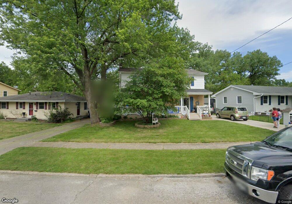
7711 Dellwood Dr Urbandale, IA 50322
Estimated Value: $300,000 - $364,000
4
Beds
2
Baths
2,052
Sq Ft
$161/Sq Ft
Est. Value
About This Home
This home is located at 7711 Dellwood Dr, Urbandale, IA 50322 and is currently estimated at $330,213, approximately $160 per square foot. 7711 Dellwood Dr is a home located in Polk County with nearby schools including Karen Acres Elementary School, Valerius Elementary School, and Urbandale Middle School.
Ownership History
Date
Name
Owned For
Owner Type
Purchase Details
Closed on
Jul 1, 2003
Sold by
Lee Deann M and Lee Kenneth D
Bought by
Murano Ercole and Murano Traci J
Current Estimated Value
Home Financials for this Owner
Home Financials are based on the most recent Mortgage that was taken out on this home.
Original Mortgage
$130,400
Outstanding Balance
$55,378
Interest Rate
5.36%
Mortgage Type
Purchase Money Mortgage
Estimated Equity
$274,835
Create a Home Valuation Report for This Property
The Home Valuation Report is an in-depth analysis detailing your home's value as well as a comparison with similar homes in the area
Home Values in the Area
Average Home Value in this Area
Purchase History
| Date | Buyer | Sale Price | Title Company |
|---|---|---|---|
| Murano Ercole | $162,500 | -- |
Source: Public Records
Mortgage History
| Date | Status | Borrower | Loan Amount |
|---|---|---|---|
| Open | Murano Ercole | $130,400 | |
| Closed | Murano Ercole | $32,600 |
Source: Public Records
Tax History Compared to Growth
Tax History
| Year | Tax Paid | Tax Assessment Tax Assessment Total Assessment is a certain percentage of the fair market value that is determined by local assessors to be the total taxable value of land and additions on the property. | Land | Improvement |
|---|---|---|---|---|
| 2025 | $5,292 | $333,000 | $49,200 | $283,800 |
| 2024 | $5,292 | $302,600 | $44,100 | $258,500 |
| 2023 | $5,236 | $302,600 | $44,100 | $258,500 |
| 2022 | $5,174 | $252,900 | $38,000 | $214,900 |
| 2021 | $5,036 | $252,900 | $38,000 | $214,900 |
| 2020 | $4,948 | $234,000 | $35,200 | $198,800 |
| 2019 | $4,676 | $234,000 | $35,200 | $198,800 |
| 2018 | $4,502 | $211,900 | $31,200 | $180,700 |
| 2017 | $4,134 | $211,900 | $31,200 | $180,700 |
| 2016 | $4,028 | $191,900 | $28,000 | $163,900 |
| 2015 | $4,028 | $191,900 | $28,000 | $163,900 |
| 2014 | $3,692 | $182,100 | $26,000 | $156,100 |
Source: Public Records
Map
Nearby Homes
- 7201 Maple Dr
- 2548 Pine Cir
- 8073 Cobblestone Rd
- 7204 Douglas Ave
- 8037 Cobblestone Ct
- 3808 72nd St
- 3924 80th St
- 8024 Cobblestone Rd
- 7051 Oak Brook Dr
- 8008 Cobblestone Rd
- 3907 73rd St
- 2405 81st Cir
- 7901 Airline Ave
- 8005 Airline Ave
- 7708 Ridgemont Dr
- 8006 Prairie Ave
- 7100 Holcomb Ave
- TBD Hickman Rd
- 37 89th St
- 3206 68th St
- 7709 Dellwood Dr
- 7713 Dellwood Dr
- 7715 Dellwood Dr
- 7707 Dellwood Dr
- 3212 Ashwood Dr
- 3208 Ashwood Dr
- 7714 Dellwood Dr
- 7716 Dellwood Dr
- 7719 Dellwood Dr
- 3216 Ashwood Dr
- 7712 Dellwood Dr
- 7718 Dellwood Dr
- 7705 Dellwood Dr
- 7710 Dellwood Dr
- 7701 Brookshire Dr
- 7720 Dellwood Dr
- 3204 Ashwood Dr
- 3220 Ashwood Dr
- 7703 Dellwood Dr
- 7722 Dellwood Dr