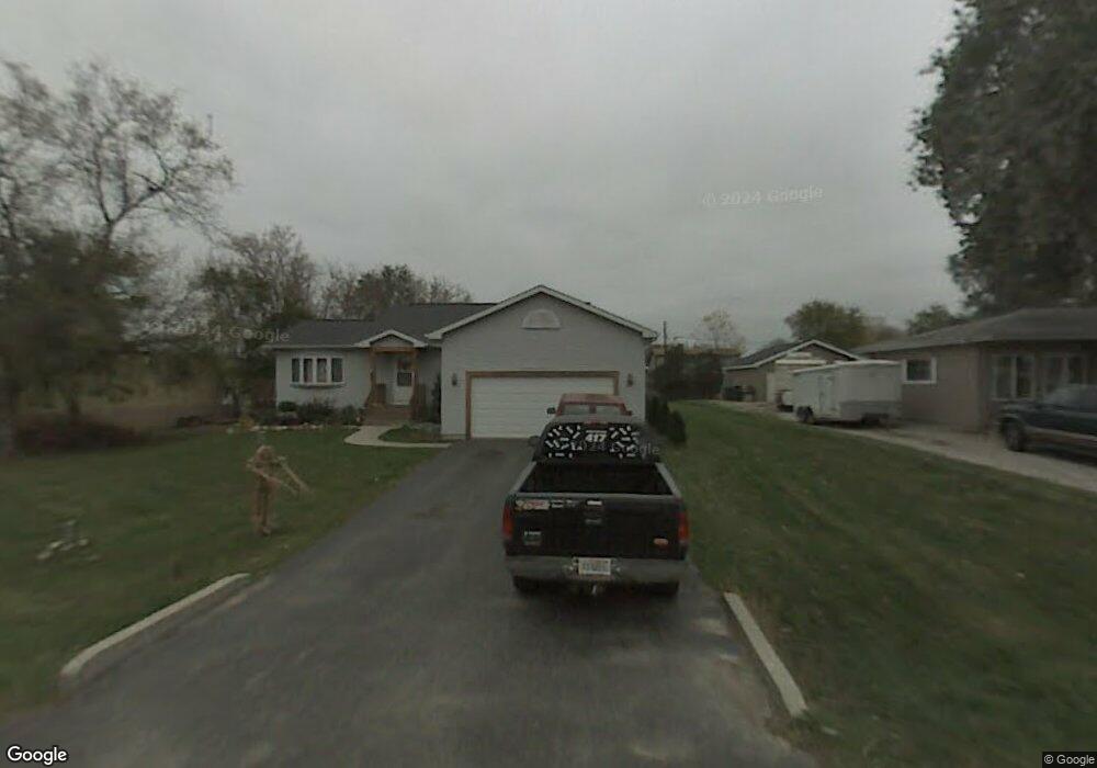
7712 Utility Ct Spring Grove, IL 60081
Estimated Value: $284,000 - $380,000
4
Beds
3
Baths
1,375
Sq Ft
$230/Sq Ft
Est. Value
About This Home
This home is located at 7712 Utility Ct, Spring Grove, IL 60081 and is currently estimated at $316,336, approximately $230 per square foot. 7712 Utility Ct is a home located in McHenry County with nearby schools including Spring Grove Elementary School, Luther J Schilling School, and Nippersink Middle School.
Ownership History
Date
Name
Owned For
Owner Type
Purchase Details
Closed on
Oct 15, 1999
Sold by
Schram Edward R
Bought by
Pope Michael A and Pope Janet F
Current Estimated Value
Home Financials for this Owner
Home Financials are based on the most recent Mortgage that was taken out on this home.
Original Mortgage
$147,649
Outstanding Balance
$44,718
Interest Rate
7.87%
Mortgage Type
FHA
Estimated Equity
$271,618
Create a Home Valuation Report for This Property
The Home Valuation Report is an in-depth analysis detailing your home's value as well as a comparison with similar homes in the area
Home Values in the Area
Average Home Value in this Area
Purchase History
| Date | Buyer | Sale Price | Title Company |
|---|---|---|---|
| Pope Michael A | $152,000 | -- |
Source: Public Records
Mortgage History
| Date | Status | Borrower | Loan Amount |
|---|---|---|---|
| Open | Pope Michael A | $147,649 |
Source: Public Records
Tax History Compared to Growth
Tax History
| Year | Tax Paid | Tax Assessment Tax Assessment Total Assessment is a certain percentage of the fair market value that is determined by local assessors to be the total taxable value of land and additions on the property. | Land | Improvement |
|---|---|---|---|---|
| 2024 | $5,868 | $84,721 | $17,179 | $67,542 |
| 2023 | $5,680 | $77,448 | $15,704 | $61,744 |
| 2022 | $5,520 | $69,735 | $14,140 | $55,595 |
| 2021 | $5,337 | $66,930 | $13,571 | $53,359 |
| 2020 | $5,245 | $64,399 | $13,058 | $51,341 |
| 2019 | $5,178 | $62,329 | $12,638 | $49,691 |
| 2018 | $5,214 | $59,754 | $12,116 | $47,638 |
| 2017 | $5,203 | $56,903 | $11,538 | $45,365 |
| 2016 | $5,106 | $53,350 | $10,818 | $42,532 |
| 2013 | $2,421 | $50,443 | $10,229 | $40,214 |
Source: Public Records
Map
Nearby Homes
- 2150 U S 12
- 1992 Red Oak Ln
- 2214 Main Street Rd
- 2003 Red Oak Ln
- LOT 9 Mayo Ct
- 1876 Red Oak Ln
- Lot 36 Red Oak Ln
- LOT 40 Red Oak Ln
- 7393 English Oak Ln
- 7389 English Oak Ln
- 7377 English Oak Ln
- 7392 English Oak Ln
- 7381 English Oak Ln
- 1979 Red Oak Ln
- 7373 English Oak Ln
- 7388 English Oak Ln
- 7369 English Oak Ln
- 1975 Red Oak Ln
- 1971 Red Oak Ln
- 7416 Briar Ct
- 7712 Utility St
- 7710 Utility St
- 7717 Broadview Ct
- 7715 Broadview Ct
- 7709 Utility St
- 7711 Utility St
- 7713 Broadview Ct
- 7708 Utility Ct
- 7702 Utility St
- 7703 Utility St
- 7711 Broadview Ct
- 2300 Westward Dr
- 7716 Broadview Ct
- 7710 Finch St
- 7718 Finch St
- 7704 Broadview Ct
- 2215 Westward Dr
- 2302 U S 12 Unit REAR
- 2302 U S 12
- 2314 Westward Dr