7714 W Thornridge Dr Mapleton, IL 61547
Estimated Value: $392,000 - $534,000
3
Beds
3
Baths
2,094
Sq Ft
$210/Sq Ft
Est. Value
About This Home
This home is located at 7714 W Thornridge Dr, Mapleton, IL 61547 and is currently estimated at $440,520, approximately $210 per square foot. 7714 W Thornridge Dr is a home located in Peoria County with nearby schools including Limestone Walters Elementary School and Limestone Community High School.
Ownership History
Date
Name
Owned For
Owner Type
Purchase Details
Closed on
Nov 4, 2016
Sold by
Heffren Edward J and Heffren Kathleen
Bought by
Clark Janelle M
Current Estimated Value
Home Financials for this Owner
Home Financials are based on the most recent Mortgage that was taken out on this home.
Original Mortgage
$30,000
Outstanding Balance
$27,579
Interest Rate
5.95%
Mortgage Type
New Conventional
Estimated Equity
$412,941
Purchase Details
Closed on
Sep 29, 2004
Bought by
Clark Janelle M and Clark Michael B
Create a Home Valuation Report for This Property
The Home Valuation Report is an in-depth analysis detailing your home's value as well as a comparison with similar homes in the area
Home Values in the Area
Average Home Value in this Area
Purchase History
| Date | Buyer | Sale Price | Title Company |
|---|---|---|---|
| Clark Janelle M | -- | Attorney Only | |
| Clark Janelle M | $46,000 | -- |
Source: Public Records
Mortgage History
| Date | Status | Borrower | Loan Amount |
|---|---|---|---|
| Open | Clark Janelle M | $30,000 |
Source: Public Records
Tax History
| Year | Tax Paid | Tax Assessment Tax Assessment Total Assessment is a certain percentage of the fair market value that is determined by local assessors to be the total taxable value of land and additions on the property. | Land | Improvement |
|---|---|---|---|---|
| 2024 | $9,690 | $119,540 | $17,880 | $101,660 |
| 2023 | $9,041 | $110,690 | $16,560 | $94,130 |
| 2022 | $8,713 | $106,090 | $15,320 | $90,770 |
| 2021 | $8,401 | $102,010 | $14,730 | $87,280 |
| 2020 | $7,924 | $100,010 | $14,440 | $85,570 |
| 2019 | $7,942 | $100,010 | $14,440 | $85,570 |
| 2018 | $7,749 | $99,980 | $14,430 | $85,550 |
| 2017 | $8,028 | $100,990 | $14,580 | $86,410 |
| 2016 | $7,838 | $102,010 | $14,730 | $87,280 |
| 2015 | $7,583 | $100,010 | $14,440 | $85,570 |
| 2014 | $7,567 | $98,290 | $14,200 | $84,090 |
| 2013 | -- | $98,290 | $14,200 | $84,090 |
Source: Public Records
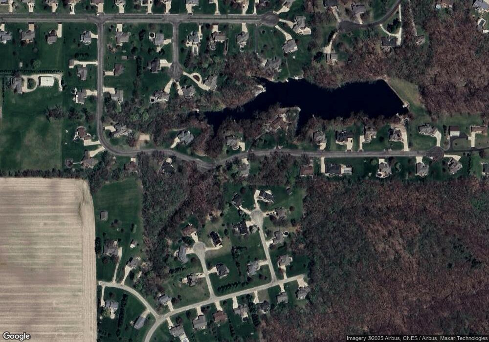
Map
Nearby Homes
- 0 W Country View Dr
- 3 W Country View Dr
- 5221 S Cameron Ln
- 6820 W Pfeiffer Rd
- 2400 S Cameron Ln
- 4202 W Smithville Rd
- 15 Sandalwood Ln
- 9603 W Littlefield Dr
- 409 W Lake Camelot Dr
- 9517 W Whittingham Point
- 4209 S Paramount Rd
- Lot 430 S Newcastle Ct
- 9622 W Lancaster Rd
- 3810 Chalmers Ave
- 0 S Skyway Rd
- 2708 S Daycor Divide
- 1 New Salem Rd
- 2003 S Mahark Ln
- 5115 W Harp Hollow Rd
- #8 W Harp Hollow Rd
- 0 W Thornridge Dr
- 7719 W Thornridge Dr
- 7716 W Brandon Ct
- 7711 W Thornridge Dr
- 7710 W Brandon Ct
- 7709 W Brandon Ct
- 7807 W Thornridge Dr
- 7712 W Bryce Ct
- 7810 W Thornridge Dr
- 7720 W Bryce Ct
- 7609 W Thornridge Dr
- 3310 S Thorncrest Ct
- 7703 W Brandon Ct
- 7606 W Thornridge Dr
- 7704 W Bryce Ct
- 3723 S Wheatfield Way
- 7709 W Bryce Ct
- 7605 W Thornridge Dr
- 7704 W Thorngate Dr
- 3315 S Thorncrest Ct
Your Personal Tour Guide
Ask me questions while you tour the home.