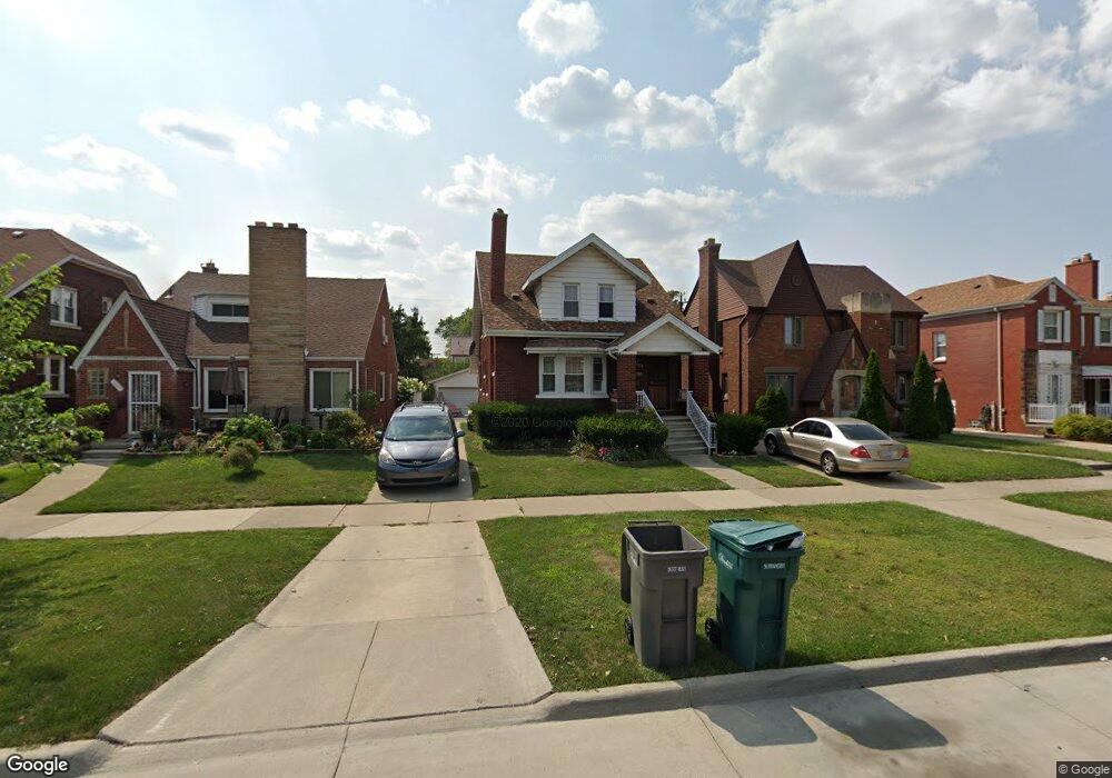
7715 E Morrow Cir Dearborn, MI 48126
Aviation NeighborhoodEstimated Value: $201,000 - $293,000
3
Beds
2
Baths
1,700
Sq Ft
$150/Sq Ft
Est. Value
About This Home
This home is located at 7715 E Morrow Cir, Dearborn, MI 48126 and is currently estimated at $254,719, approximately $149 per square foot. 7715 E Morrow Cir is a home located in Wayne County with nearby schools including McDonald Elementary School, McCollough-Unis School, and Fordson High School.
Ownership History
Date
Name
Owned For
Owner Type
Purchase Details
Closed on
Dec 14, 2011
Sold by
Alhalabi Abdaikarim and Alhalabi Dara Fatima
Bought by
Alsahar Ayman
Current Estimated Value
Purchase Details
Closed on
Oct 19, 2011
Sold by
Alhalabi Abdaikarim and Alhalabi Dara Fatima
Bought by
Bank Of America Na
Purchase Details
Closed on
Sep 9, 2003
Sold by
Hud
Bought by
Alhalabi Abdaikarim
Purchase Details
Closed on
Jan 3, 2002
Sold by
Saad Abir
Bought by
Nationwide Home Mtg Co
Purchase Details
Closed on
Nov 7, 1997
Sold by
Cousino Glenn R
Bought by
Fadlallah Radwan
Create a Home Valuation Report for This Property
The Home Valuation Report is an in-depth analysis detailing your home's value as well as a comparison with similar homes in the area
Home Values in the Area
Average Home Value in this Area
Purchase History
| Date | Buyer | Sale Price | Title Company |
|---|---|---|---|
| Alsahar Ayman | $42,000 | Title Connect Llc | |
| Bank Of America Na | $191,015 | None Available | |
| Alhalabi Abdaikarim | $118,000 | Great Lakes Title | |
| Nationwide Home Mtg Co | $140,209 | -- | |
| Fadlallah Radwan | $112,000 | -- |
Source: Public Records
Tax History
| Year | Tax Paid | Tax Assessment Tax Assessment Total Assessment is a certain percentage of the fair market value that is determined by local assessors to be the total taxable value of land and additions on the property. | Land | Improvement |
|---|---|---|---|---|
| 2025 | $3,372 | $116,700 | $0 | $0 |
| 2024 | $3,298 | $102,200 | $0 | $0 |
| 2023 | $3,121 | $94,600 | $0 | $0 |
| 2022 | $3,512 | $75,700 | $0 | $0 |
| 2021 | $4,081 | $71,400 | $0 | $0 |
| 2019 | $4,250 | $64,000 | $0 | $0 |
| 2018 | $2,219 | $60,900 | $0 | $0 |
| 2017 | $636 | $53,700 | $0 | $0 |
| 2011 | -- | $43,200 | $0 | $0 |
Source: Public Records
Map
Nearby Homes
- 7900 Middlepointe St
- 7815 Normile St
- 7634 Pinehurst St
- 10339 Tireman Ave
- 7929 Normile St
- 8100 Middlepoint St
- 7830 Miller Rd
- 7658 Appoline St
- 8116 Wyoming Ave
- 8511 Lonyo St
- 8315 Freda St
- 30 Morross Cir Unit 44
- 8088 Wisconsin St
- 7524 Hartwell St
- 8265 Kentucky St
- 7857 Esper Blvd
- 8258 Meyers Rd
- 7758 Reuter St
- 8805 Whitlock Ave
- 8130 Ward St
- 7709 E Morrow Cir
- 7723 E Morrow Cir
- 7659 E Morrow Cir
- 7731 E Morrow Cir
- 7716 Middlepointe St
- 7653 E Morrow Cir
- 7741 E Morrow Cir
- 7706 Middlepointe St
- 7722 Middlepointe St
- 7700 Middlepointe St
- 7730 Middlepointe St
- 7747 E Morrow Cir
- 7652 Middlepointe St
- 7738 Middlepointe St
- 7645 E Morrow Cir
- 7644 Middlepointe St
- 7748 Middlepointe St
- 7757 E Morrow Cir
- 7716 E Morrow Cir
- 7722 E Morrow Cir
Your Personal Tour Guide
Ask me questions while you tour the home.