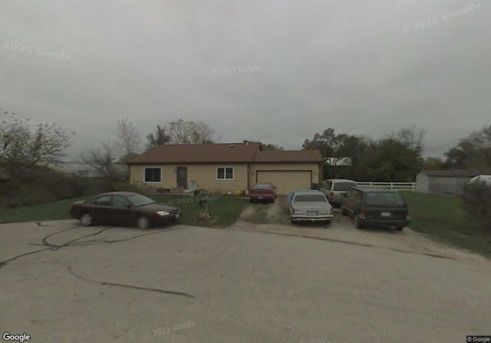
7716 Broadview Ct Spring Grove, IL 60081
Estimated Value: $272,419 - $380,000
3
Beds
--
Bath
2,340
Sq Ft
$141/Sq Ft
Est. Value
About This Home
This home is located at 7716 Broadview Ct, Spring Grove, IL 60081 and is currently estimated at $329,105, approximately $140 per square foot. 7716 Broadview Ct is a home located in McHenry County with nearby schools including Spring Grove Elementary School, Nippersink Middle School, and Richmond-Burton High School.
Ownership History
Date
Name
Owned For
Owner Type
Purchase Details
Closed on
Sep 9, 2014
Sold by
Klier Robert H and Klier Colette
Bought by
The Chicago Title Trust Company
Current Estimated Value
Purchase Details
Closed on
Jun 16, 1994
Sold by
Shea Dale R and Shea Berit K
Bought by
Klier Robert H and Klier Colette
Home Financials for this Owner
Home Financials are based on the most recent Mortgage that was taken out on this home.
Original Mortgage
$101,700
Interest Rate
8.78%
Mortgage Type
Assumption
Create a Home Valuation Report for This Property
The Home Valuation Report is an in-depth analysis detailing your home's value as well as a comparison with similar homes in the area
Home Values in the Area
Average Home Value in this Area
Purchase History
| Date | Buyer | Sale Price | Title Company |
|---|---|---|---|
| The Chicago Title Trust Company | -- | None Available | |
| Klier Robert H | $113,000 | -- |
Source: Public Records
Mortgage History
| Date | Status | Borrower | Loan Amount |
|---|---|---|---|
| Previous Owner | Klier Robert H | $101,700 |
Source: Public Records
Tax History
| Year | Tax Paid | Tax Assessment Tax Assessment Total Assessment is a certain percentage of the fair market value that is determined by local assessors to be the total taxable value of land and additions on the property. | Land | Improvement |
|---|---|---|---|---|
| 2024 | $4,737 | $77,939 | $15,071 | $62,868 |
| 2023 | $4,518 | $71,248 | $13,777 | $57,471 |
| 2022 | $4,604 | $64,153 | $12,405 | $51,748 |
| 2021 | $4,430 | $61,573 | $11,906 | $49,667 |
| 2020 | $4,333 | $59,245 | $11,456 | $47,789 |
| 2019 | $4,260 | $57,341 | $11,088 | $46,253 |
| 2018 | $4,265 | $54,972 | $10,630 | $44,342 |
| 2017 | $4,226 | $52,349 | $10,123 | $42,226 |
| 2016 | $4,107 | $49,080 | $9,491 | $39,589 |
| 2013 | -- | $46,406 | $8,974 | $37,432 |
Source: Public Records
Map
Nearby Homes
- 1992 Red Oak Ln
- LOT 9 Mayo Ct
- 2214 Main Street Rd
- 2003 Red Oak Ln
- 2150 U S 12
- 1876 Red Oak Ln
- Lot 36 Red Oak Ln
- 7393 English Oak Ln
- 7389 English Oak Ln
- 7377 English Oak Ln
- 7381 English Oak Ln
- 1979 Red Oak Ln
- 7388 English Oak Ln
- 7373 English Oak Ln
- 1975 Red Oak Ln
- 1971 Red Oak Ln
- Lot 65,66,&64 Main Street Rd
- 1852 Red Oak Ln
- 1848 Red Oak Ln
- 2617 Spring Leaf Dr
- 7704 Broadview Ct
- 7715 Broadview Ct
- 7717 Broadview Ct
- 2202 Westward Dr
- 7713 Broadview Ct
- 7711 Broadview Ct
- 2116 Westward Dr
- 7701 Blivin St
- 7710 Utility St
- 7712 Utility St
- 7615 Blivin St
- 7712 Utility Ct
- 7708 Utility Ct
- 7702 Utility St
- 2112 Westward Dr
- 2213 Westward Dr
- 2215 Westward Dr
- 2208 U S 12
- 2208 N Us Highway 12
- 7709 Utility St
Your Personal Tour Guide
Ask me questions while you tour the home.