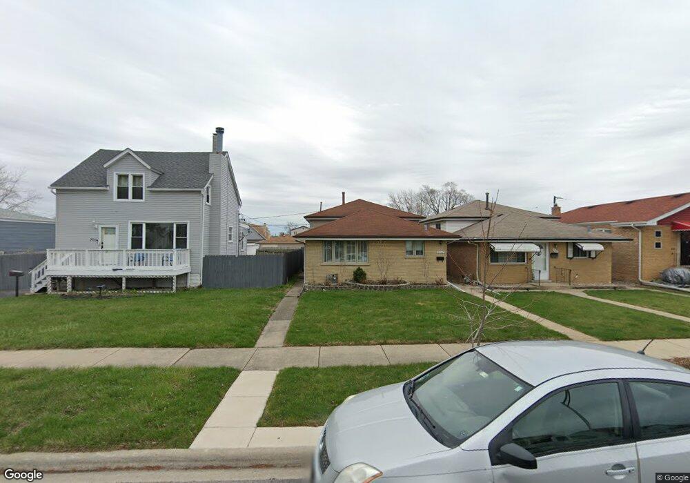
7717 Melvina Ave Burbank, IL 60459
Estimated Value: $287,000 - $311,000
3
Beds
2
Baths
1,008
Sq Ft
$296/Sq Ft
Est. Value
About This Home
This home is located at 7717 Melvina Ave, Burbank, IL 60459 and is currently estimated at $298,087, approximately $295 per square foot. 7717 Melvina Ave is a home located in Cook County with nearby schools including Harry E. Fry School, Reavis High School, and St Albert the Great Catholic School.
Ownership History
Date
Name
Owned For
Owner Type
Purchase Details
Closed on
Feb 6, 2009
Sold by
Fannie Mae
Bought by
Drosos Alex
Current Estimated Value
Purchase Details
Closed on
Dec 31, 1998
Sold by
Paterak Krysztof and Paterak Grazyna
Bought by
Paterak Krzysztof and Paterak Grazyna
Home Financials for this Owner
Home Financials are based on the most recent Mortgage that was taken out on this home.
Original Mortgage
$89,000
Interest Rate
6.76%
Create a Home Valuation Report for This Property
The Home Valuation Report is an in-depth analysis detailing your home's value as well as a comparison with similar homes in the area
Home Values in the Area
Average Home Value in this Area
Purchase History
| Date | Buyer | Sale Price | Title Company |
|---|---|---|---|
| Drosos Alex | $35,500 | First American | |
| Paterak Krzysztof | -- | Intercounty Title |
Source: Public Records
Mortgage History
| Date | Status | Borrower | Loan Amount |
|---|---|---|---|
| Previous Owner | Paterak Krzysztof | $89,000 |
Source: Public Records
Tax History
| Year | Tax Paid | Tax Assessment Tax Assessment Total Assessment is a certain percentage of the fair market value that is determined by local assessors to be the total taxable value of land and additions on the property. | Land | Improvement |
|---|---|---|---|---|
| 2025 | $6,011 | $22,688 | $3,506 | $19,182 |
| 2024 | $6,011 | $22,688 | $3,506 | $19,182 |
| 2023 | $5,071 | $22,688 | $3,506 | $19,182 |
| 2022 | $5,071 | $16,571 | $3,044 | $13,527 |
| 2021 | $4,886 | $16,571 | $3,044 | $13,527 |
| 2020 | $4,795 | $16,571 | $3,044 | $13,527 |
| 2019 | $3,988 | $14,561 | $2,767 | $11,794 |
| 2018 | $3,873 | $14,561 | $2,767 | $11,794 |
| 2017 | $4,165 | $15,750 | $2,767 | $12,983 |
| 2016 | $4,070 | $14,049 | $2,306 | $11,743 |
| 2015 | $4,497 | $15,879 | $2,306 | $13,573 |
| 2014 | $4,379 | $15,879 | $2,306 | $13,573 |
| 2013 | $4,622 | $18,004 | $2,306 | $15,698 |
Source: Public Records
Map
Nearby Homes
- 7723 Melvina Ave
- 7827 Meade Ave
- 7851 Moody Ave
- 6124 W 79th St
- 7948 Merrimac Ave
- 7544 Mason Ave
- 7820 Nagle Ave
- 7836 Monitor Ave
- 7805 Natchez Ave
- 8014 Mobile Ave
- 8033 Austin Ave
- 5822 W 79th St
- 7709 Neenah Ave
- 6117 W 81st St
- 8121 Mcvicker Ave
- 7852 Neenah Ave
- 7745 Nashville Ave
- 5841 W 75th Place
- 7843 Massasoit Ave
- 7814 Major Ave
- 7719 Melvina Ave
- 7711 Melvina Ave
- 7721 Melvina Ave
- 7707 Melvina Ave
- 7705 Melvina Ave
- 7731 Melvina Ave
- 7718 Moody Ave
- 7720 Moody Ave
- 7703 Melvina Ave
- 7714 Moody Ave
- 7735 Melvina Ave
- 7722 Moody Ave
- 7722 Moody Ave
- 7710 Moody Ave
- 7701 Melvina Ave
- 7737 Melvina Ave
- 7724 Melvina Ave
- 7722 Melvina Ave
- 7716 Melvina Ave
- 7706 Moody Ave
Your Personal Tour Guide
Ask me questions while you tour the home.