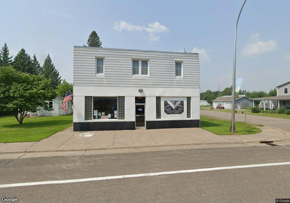
7719 Central Ave Meadowlands, MN 55765
Estimated Value: $104,000 - $188,000
2
Beds
1
Bath
2,160
Sq Ft
$65/Sq Ft
Est. Value
About This Home
This home is located at 7719 Central Ave, Meadowlands, MN 55765 and is currently estimated at $140,997, approximately $65 per square foot. 7719 Central Ave is a home located in St. Louis County with nearby schools including South Ridge Elementary School.
Ownership History
Date
Name
Owned For
Owner Type
Purchase Details
Closed on
Dec 14, 2015
Sold by
Wells Fargo Bank Na
Bought by
Horvath Kelly Marie
Current Estimated Value
Purchase Details
Closed on
Oct 19, 2011
Sold by
Mattas Ada H
Bought by
Wells Fargo Bank N A and Ada H Mattas Revocable Trust
Purchase Details
Closed on
Oct 3, 2011
Sold by
Wells Fargo Bank N A
Bought by
Mattas Ada H
Purchase Details
Closed on
Oct 13, 1997
Sold by
Mattas Rudolph and Mattas Ada H
Bought by
The Trustee Of The Ada H Mattas Trust
Create a Home Valuation Report for This Property
The Home Valuation Report is an in-depth analysis detailing your home's value as well as a comparison with similar homes in the area
Home Values in the Area
Average Home Value in this Area
Purchase History
| Date | Buyer | Sale Price | Title Company |
|---|---|---|---|
| Horvath Kelly Marie | $22,000 | First American Title Ins Co | |
| Wells Fargo Bank N A | -- | None Available | |
| Mattas Ada H | -- | None Available | |
| The Trustee Of The Ada H Mattas Trust | -- | -- | |
| The Trustee Of The Rudolph Mattas Trust | -- | -- | |
| The Trustee Of The Rudolph Mattas Trust | -- | -- | |
| The Trustee Of The Ada H Mattas Trust | -- | -- |
Source: Public Records
Tax History Compared to Growth
Tax History
| Year | Tax Paid | Tax Assessment Tax Assessment Total Assessment is a certain percentage of the fair market value that is determined by local assessors to be the total taxable value of land and additions on the property. | Land | Improvement |
|---|---|---|---|---|
| 2024 | $1,316 | $69,000 | $10,400 | $58,600 |
| 2023 | $1,316 | $59,800 | $10,800 | $49,000 |
| 2022 | $1,046 | $54,700 | $10,300 | $44,400 |
| 2021 | $1,170 | $47,600 | $9,300 | $38,300 |
| 2020 | $1,058 | $47,600 | $9,300 | $38,300 |
| 2019 | $630 | $47,600 | $9,300 | $38,300 |
| 2018 | $594 | $31,800 | $11,500 | $20,300 |
| 2017 | $598 | $31,800 | $11,500 | $20,300 |
| 2016 | $152 | $31,800 | $11,500 | $20,300 |
| 2014 | $159 | $19,100 | $6,900 | $12,200 |
Source: Public Records
Map
Nearby Homes
- 7663 Highway 29
- xxx Hwy 133
- 7773 Condor Rd
- 8977 Austin Rd
- 10362 Arkola Rd
- 10650 W Toivola Rd
- XXX Benson Rd
- 8017 N Savanna Rd
- TBD Township Road 5743
- 9128 Peary Junction Rd
- 8194 Glen Junction Rd
- 11043 Highway 8
- 508 Cedar Valley Rd
- xxxx 2 Hwy 8
- Tbd Arkola Rd
- xxxx 1 Hwy 8
- xxxx 3 Hwy 8
- xxxx 4 Hwy 8
- xxxx 5 Hwy 8
- 1964 Highway 5
- 9991 Elm St
- 7710 Western Ave
- 7714 Central Ave
- 7720 Western Ave
- 7721 Central Ave
- 7706 Western Ave
- 7708 Central Ave
- 9983 Elm St
- 7710 Central Ave
- 7720 Central Ave
- 7731 7731 Western Ave
- 7731 Western Ave
- 7713 Scott Ave
- 9982 Elm St
- 7726 Western Ave
- 7709 Scott Ave
- 7728 Central Ave
- 9994 Cedar St
- 96xx Highway 133
- TBD County Highway 133