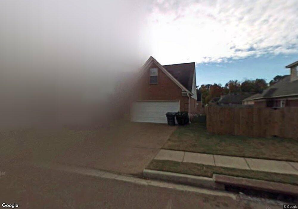
7719 Wolfden Cir Memphis, TN 38133
Estimated Value: $254,000 - $274,000
3
Beds
3
Baths
2,820
Sq Ft
$93/Sq Ft
Est. Value
About This Home
This home is located at 7719 Wolfden Cir, Memphis, TN 38133 and is currently estimated at $263,607, approximately $93 per square foot. 7719 Wolfden Cir is a home located in Shelby County with nearby schools including Kate Bond Elementary School, Kate Bond Middle School, and Cordova High School.
Ownership History
Date
Name
Owned For
Owner Type
Purchase Details
Closed on
Nov 19, 1999
Sold by
Mdm Company Llc
Bought by
Crutchfield Lynord R and Crutchfield Robin R
Current Estimated Value
Home Financials for this Owner
Home Financials are based on the most recent Mortgage that was taken out on this home.
Original Mortgage
$142,826
Outstanding Balance
$44,237
Interest Rate
7.94%
Mortgage Type
FHA
Estimated Equity
$219,370
Create a Home Valuation Report for This Property
The Home Valuation Report is an in-depth analysis detailing your home's value as well as a comparison with similar homes in the area
Home Values in the Area
Average Home Value in this Area
Purchase History
| Date | Buyer | Sale Price | Title Company |
|---|---|---|---|
| Crutchfield Lynord R | $142,900 | -- |
Source: Public Records
Mortgage History
| Date | Status | Borrower | Loan Amount |
|---|---|---|---|
| Open | Crutchfield Lynord R | $142,826 |
Source: Public Records
Tax History Compared to Growth
Tax History
| Year | Tax Paid | Tax Assessment Tax Assessment Total Assessment is a certain percentage of the fair market value that is determined by local assessors to be the total taxable value of land and additions on the property. | Land | Improvement |
|---|---|---|---|---|
| 2025 | $1,441 | $70,725 | $9,500 | $61,225 |
| 2024 | $1,441 | $42,500 | $7,800 | $34,700 |
| 2023 | $2,589 | $42,500 | $7,800 | $34,700 |
| 2022 | $2,589 | $42,500 | $7,800 | $34,700 |
| 2021 | $2,619 | $42,500 | $7,800 | $34,700 |
| 2020 | $2,331 | $32,175 | $7,800 | $24,375 |
| 2019 | $2,331 | $32,175 | $7,800 | $24,375 |
| 2018 | $2,331 | $32,175 | $7,800 | $24,375 |
| 2017 | $1,322 | $32,175 | $7,800 | $24,375 |
| 2016 | $1,331 | $30,450 | $0 | $0 |
| 2014 | $1,331 | $30,450 | $0 | $0 |
Source: Public Records
Map
Nearby Homes
- 7723 Reese Rd
- 2376 Pate Rd
- 2554 Appling Glen Dr
- 2566 Austin Green Bay
- 7828 Deerfield Trace
- 2718 Kate Bond Rd
- 7551 Meadowland Dr
- 2412 Kate Bond Rd
- 2065 Steeplebrook Dr
- 2029 Woodchase Cove
- 2011 Woodchase Cove
- 2789 Arbor Lane Dr
- 2739 Lakeside Dr
- 2518 Bassfield Dr
- 7270 Rose Trail Dr
- 2633 Sleepy Bend Cove
- 1895 Wood Oak Dr
- 1905 Pheasant Acre Ln E
- 7695 Chapel Ridge Dr
- 1888 Pheasant Acre Ln E
- 7725 Wolfden Cir
- 7713 Wolfden Cir
- 7681 Wolfden Cir
- 7731 Wolfden Cir
- 7700 Wolf Hollow Dr
- 7724 Wolf Hollow Dr
- 7728 Wolf Hollow Dr
- 7737 Wolfden Cir
- 7720 Wolf Hollow Dr
- 7734 Wolf Hollow Dr
- 7720 Wolfden Cir
- 7714 Wolfden Cir
- 7726 Wolfden Cir
- 7740 Wolf Hollow Dr
- 7743 Wolfden Cir
- 7732 Wolfden Cir
- 7688 Wolfden Cir
- 7682 Wolfden Cir
- 7746 Wolf Hollow Dr
- 7708 Wolfden Cir