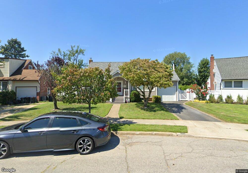
772 Brian Ln Seaford, NY 11783
Estimated Value: $738,596 - $771,000
4
Beds
2
Baths
1,641
Sq Ft
$460/Sq Ft
Est. Value
About This Home
This home is located at 772 Brian Ln, Seaford, NY 11783 and is currently estimated at $754,798, approximately $459 per square foot. 772 Brian Ln is a home located in Nassau County with nearby schools including East Broadway School, Jonas E. Salk Middle School, and Gen. Douglas MacArthur Senior High School.
Ownership History
Date
Name
Owned For
Owner Type
Purchase Details
Closed on
Aug 2, 2017
Sold by
Krowiak Michael and Krowiak Francine
Bought by
Marino Peter A and Marino Theresa A
Current Estimated Value
Purchase Details
Closed on
Aug 15, 1996
Sold by
Biamonte Rita
Bought by
Krowiak Michael and Krowiak Francine
Home Financials for this Owner
Home Financials are based on the most recent Mortgage that was taken out on this home.
Original Mortgage
$80,000
Interest Rate
8.4%
Create a Home Valuation Report for This Property
The Home Valuation Report is an in-depth analysis detailing your home's value as well as a comparison with similar homes in the area
Home Values in the Area
Average Home Value in this Area
Purchase History
| Date | Buyer | Sale Price | Title Company |
|---|---|---|---|
| Marino Peter A | $475,000 | Commonwealth Land Title Insu | |
| Krowiak Michael | $163,000 | -- |
Source: Public Records
Mortgage History
| Date | Status | Borrower | Loan Amount |
|---|---|---|---|
| Previous Owner | Krowiak Michael | $80,000 |
Source: Public Records
Tax History
| Year | Tax Paid | Tax Assessment Tax Assessment Total Assessment is a certain percentage of the fair market value that is determined by local assessors to be the total taxable value of land and additions on the property. | Land | Improvement |
|---|---|---|---|---|
| 2025 | $14,433 | $461 | $244 | $217 |
| 2024 | $3,297 | $464 | $246 | $218 |
Source: Public Records
Map
Nearby Homes
- 647 Seamans Neck Rd
- 6 Regal Ln
- 9 Redwood Ln
- 493 Kell Place
- 29 Raspberry Ln
- 2 Radial Ln
- 520 Ann Ln
- 3738 Regent Ln
- 68 Thorne Ave
- 3715 Regent Ln
- 4042 Old Post Rd
- 3 Brewster Gate
- 3651 Woodbridge Ln N
- 3977 Wellwood Rd
- 341 Red Maple Dr S
- 693 Wantagh Ave
- 3621 Regent Ln
- 4185 Harriet Rd
- 5 Gail Dr
- 346 Holmes St