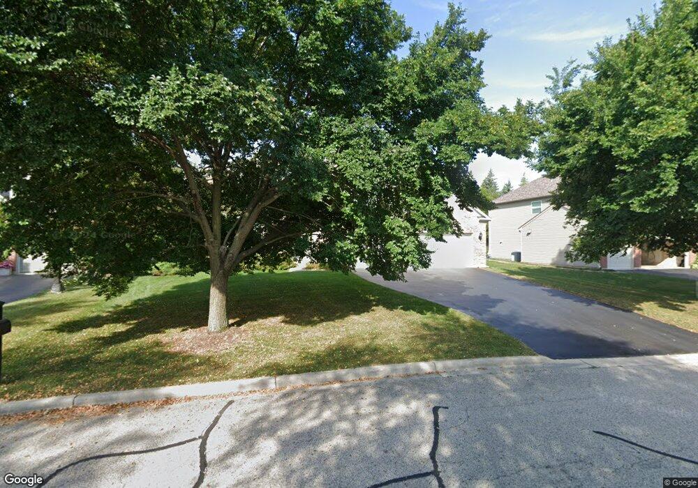
772 Crosswind Ln Lindenhurst, IL 60046
Estimated Value: $558,182 - $639,000
4
Beds
4
Baths
3,435
Sq Ft
$174/Sq Ft
Est. Value
About This Home
This home is located at 772 Crosswind Ln, Lindenhurst, IL 60046 and is currently estimated at $597,046, approximately $173 per square foot. 772 Crosswind Ln is a home located in Lake County with nearby schools including Lakes Community High School.
Ownership History
Date
Name
Owned For
Owner Type
Purchase Details
Closed on
Sep 15, 2009
Sold by
Gibbs Dilton
Bought by
Bromberg Kenneth D and Kopecky Bromberg Sarah A
Current Estimated Value
Home Financials for this Owner
Home Financials are based on the most recent Mortgage that was taken out on this home.
Original Mortgage
$293,600
Outstanding Balance
$192,013
Interest Rate
5.19%
Mortgage Type
New Conventional
Estimated Equity
$405,033
Purchase Details
Closed on
Nov 29, 2007
Sold by
Pulte Home Corp
Bought by
Gibbs Dilton
Home Financials for this Owner
Home Financials are based on the most recent Mortgage that was taken out on this home.
Original Mortgage
$356,000
Interest Rate
6.31%
Mortgage Type
Purchase Money Mortgage
Create a Home Valuation Report for This Property
The Home Valuation Report is an in-depth analysis detailing your home's value as well as a comparison with similar homes in the area
Home Values in the Area
Average Home Value in this Area
Purchase History
| Date | Buyer | Sale Price | Title Company |
|---|---|---|---|
| Bromberg Kenneth D | $367,000 | 1St American Title | |
| Gibbs Dilton | $405,000 | None Available |
Source: Public Records
Mortgage History
| Date | Status | Borrower | Loan Amount |
|---|---|---|---|
| Open | Bromberg Kenneth D | $293,600 | |
| Previous Owner | Gibbs Dilton | $356,000 |
Source: Public Records
Tax History
| Year | Tax Paid | Tax Assessment Tax Assessment Total Assessment is a certain percentage of the fair market value that is determined by local assessors to be the total taxable value of land and additions on the property. | Land | Improvement |
|---|---|---|---|---|
| 2024 | $14,127 | $152,609 | $19,395 | $133,214 |
| 2023 | $14,111 | $134,837 | $17,136 | $117,701 |
| 2022 | $14,111 | $129,397 | $18,986 | $110,411 |
| 2021 | $13,449 | $120,202 | $17,637 | $102,565 |
| 2020 | $13,866 | $122,286 | $17,943 | $104,343 |
| 2019 | $15,702 | $129,177 | $18,954 | $110,223 |
| 2018 | $15,850 | $134,925 | $26,275 | $108,650 |
| 2017 | $15,437 | $131,326 | $25,574 | $105,752 |
| 2016 | $15,786 | $126,008 | $24,538 | $101,470 |
| 2015 | $15,117 | $117,688 | $22,918 | $94,770 |
| 2014 | $13,363 | $113,365 | $19,537 | $93,828 |
| 2012 | $12,602 | $113,912 | $19,631 | $94,281 |
Source: Public Records
Map
Nearby Homes
- 39252 N Gelden Ln
- 1650 Natures Way
- 38947 Deep Lake Rd
- 38740 N Anderle Ave
- 777 Spring Cir S
- 21990 W 6th St
- 1896 E Vista Terrace
- 433 Woodland Trail
- 434 Woodland Trail
- 420 Woodland Trail
- 428 Woodland Trail
- 405 Woodland Trail
- 1629 Elderberry Ln
- 1626 Elderberry Ln
- 1764 S Port Dr
- 1768 S Port Dr
- 1903 S Shore Cove
- 527 Northgate Rd Unit 28
- 1772 S Port Dr
- 22271 W Loon Dr
- 766 Crosswind Ln
- 778 Crosswind Ln
- 21534 W Brentwood Ln
- 769 Crosswind Ln
- 784 Crosswind Ln
- 777 Crosswind Ln
- 761 Crosswind Ln
- 785 Crosswind Ln
- 21545 W Brentwood Ln
- 753 Crosswind Ln
- 793 Crosswind Ln
- 790 Crosswind Ln
- 21542 W Brentwood Ln
- 745 Crosswind Ln
- 796 Crosswind Ln
- 21575 W Brentwood Ln
- 737 Crosswind Ln
- 1228 Meade Ct
- 1242 Meade Ct
- 729 Crosswind Ln
Your Personal Tour Guide
Ask me questions while you tour the home.