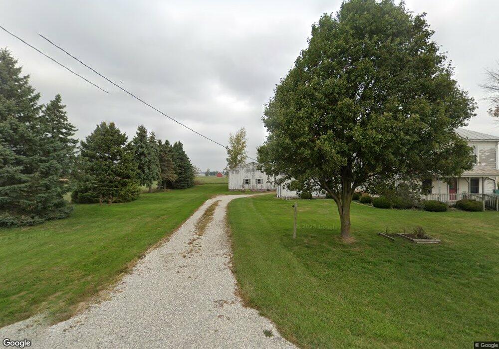
772 Ellis Rd Union City, OH 45390
Estimated Value: $89,232 - $217,000
3
Beds
1
Bath
2,124
Sq Ft
$66/Sq Ft
Est. Value
About This Home
This home is located at 772 Ellis Rd, Union City, OH 45390 and is currently estimated at $139,558, approximately $65 per square foot. 772 Ellis Rd is a home located in Darke County with nearby schools including Mississinawa Valley Elementary School and Mississinawa Valley Junior/Senior High School.
Ownership History
Date
Name
Owned For
Owner Type
Purchase Details
Closed on
Apr 29, 2024
Sold by
Hurley Hugh Albert and Joyce Arlene
Bought by
Hurley Hugh Albert and Hurley Joyce Arlene
Current Estimated Value
Purchase Details
Closed on
Oct 28, 2022
Sold by
Burkett Deborah Lee
Bought by
Hittle Jason and Hittle Allison
Purchase Details
Closed on
Oct 1, 1990
Bought by
Hittle Jerry Lee and Deborah Lee
Create a Home Valuation Report for This Property
The Home Valuation Report is an in-depth analysis detailing your home's value as well as a comparison with similar homes in the area
Home Values in the Area
Average Home Value in this Area
Purchase History
| Date | Buyer | Sale Price | Title Company |
|---|---|---|---|
| Hurley Hugh Albert | -- | None Listed On Document | |
| Hurley Hugh Albert | -- | None Listed On Document | |
| Hittle Jason | $48,900 | -- | |
| Hittle Jason | $48,900 | None Listed On Document | |
| Hittle Jerry Lee | $34,400 | -- |
Source: Public Records
Tax History Compared to Growth
Tax History
| Year | Tax Paid | Tax Assessment Tax Assessment Total Assessment is a certain percentage of the fair market value that is determined by local assessors to be the total taxable value of land and additions on the property. | Land | Improvement |
|---|---|---|---|---|
| 2024 | $955 | $32,580 | $8,500 | $24,080 |
| 2023 | $957 | $32,580 | $8,500 | $24,080 |
| 2022 | $941 | $26,660 | $7,210 | $19,450 |
| 2021 | $958 | $26,660 | $7,210 | $19,450 |
| 2020 | $963 | $26,660 | $7,210 | $19,450 |
| 2019 | $770 | $22,770 | $7,210 | $15,560 |
| 2018 | $756 | $22,770 | $7,210 | $15,560 |
| 2017 | $462 | $22,770 | $7,210 | $15,560 |
| 2016 | $463 | $24,250 | $6,780 | $17,470 |
| 2015 | $463 | $24,250 | $6,780 | $17,470 |
| 2014 | $464 | $24,250 | $6,780 | $17,470 |
| 2013 | $482 | $23,970 | $6,500 | $17,470 |
Source: Public Records
Map
Nearby Homes
- 0 County Road 400 N
- 1200 N Jackson Pike
- 509 Indiana 28
- 0 W Deerfield Rd Unit 23016117
- 0 W Deerfield Rd Unit 837795
- 0 W Deerfield Rd
- 207 Allen Dr
- 718 Lynwood Ct
- 543 N Walnut St
- 706 Lynwood Ct
- 807 E Cherry St
- 722 N Union St
- 230 NW Deerfield Rd
- 3709 Rossburg-Lightsville Rd
- 612 N Howard St
- 305 E North St
- 504 N Union St
- 504 N Union St Unit Street
- 113 E North St
- 507 N Howard St
- 12650 Hillgrove Fort Recover Rd
- 12650 Hillgrove Fort Recover Rd
- 12399 Hillgrove Fort Recover Rd
- 613 Ellis Rd
- 924 Ellis Rd
- 12508 Oswalt Good Rd
- 12630 Oswalt Good Rd
- 12354 Oswalt Good Rd
- 1036 Ellis Rd
- 504 Ellis Rd
- 12685 Oswalt Good Rd
- 12317 Oswalt Good Rd
- 12317 Oswalt-Good Rd
- 758 Brock Cosmos Rd
- 12920 Hillgrove Fort Recover Rd
- 1130 Ellis Rd
- 1191 Ellis Rd
- 13018 Hillgrove Fort Recover Rd
- 316 Ellis Rd
- 868 Brock Cosmos Rd