772 Indian Point Rd Georgetown, ME 04548
Georgetown NeighborhoodEstimated Value: $1,106,000 - $1,403,000
--
Bed
--
Bath
--
Sq Ft
1.62
Acres
About This Home
This home is located at 772 Indian Point Rd, Georgetown, ME 04548 and is currently estimated at $1,248,900. 772 Indian Point Rd is a home.
Ownership History
Date
Name
Owned For
Owner Type
Purchase Details
Closed on
Feb 6, 2024
Sold by
Jackson Constance E
Bought by
Constance E L Jackson Lt and Jackson
Current Estimated Value
Purchase Details
Closed on
Mar 17, 2015
Sold by
Bridgham Barbara F Est and Bridgham
Bought by
Jackson Constance E
Home Financials for this Owner
Home Financials are based on the most recent Mortgage that was taken out on this home.
Original Mortgage
$327,000
Interest Rate
3.67%
Mortgage Type
Commercial
Create a Home Valuation Report for This Property
The Home Valuation Report is an in-depth analysis detailing your home's value as well as a comparison with similar homes in the area
Home Values in the Area
Average Home Value in this Area
Purchase History
| Date | Buyer | Sale Price | Title Company |
|---|---|---|---|
| Constance E L Jackson Lt | -- | None Available | |
| Jackson Constance E | -- | -- |
Source: Public Records
Mortgage History
| Date | Status | Borrower | Loan Amount |
|---|---|---|---|
| Previous Owner | Jackson Constance E | $327,000 |
Source: Public Records
Tax History Compared to Growth
Tax History
| Year | Tax Paid | Tax Assessment Tax Assessment Total Assessment is a certain percentage of the fair market value that is determined by local assessors to be the total taxable value of land and additions on the property. | Land | Improvement |
|---|---|---|---|---|
| 2024 | $7,088 | $1,177,400 | $1,077,000 | $100,400 |
| 2023 | $5,872 | $602,300 | $543,900 | $58,400 |
| 2022 | $5,324 | $602,300 | $543,900 | $58,400 |
| 2021 | $4,969 | $602,300 | $543,900 | $58,400 |
| 2020 | $4,879 | $602,300 | $543,900 | $58,400 |
| 2019 | $4,698 | $602,300 | $543,900 | $58,400 |
| 2018 | $4,638 | $602,300 | $543,900 | $58,400 |
| 2017 | $4,608 | $602,300 | $543,900 | $58,400 |
| 2016 | $4,608 | $602,300 | $543,900 | $58,400 |
| 2015 | $4,445 | $602,300 | $543,900 | $58,400 |
| 2014 | $4,445 | $602,300 | $543,900 | $58,400 |
| 2013 | $4,276 | $602,300 | $543,900 | $58,400 |
Source: Public Records
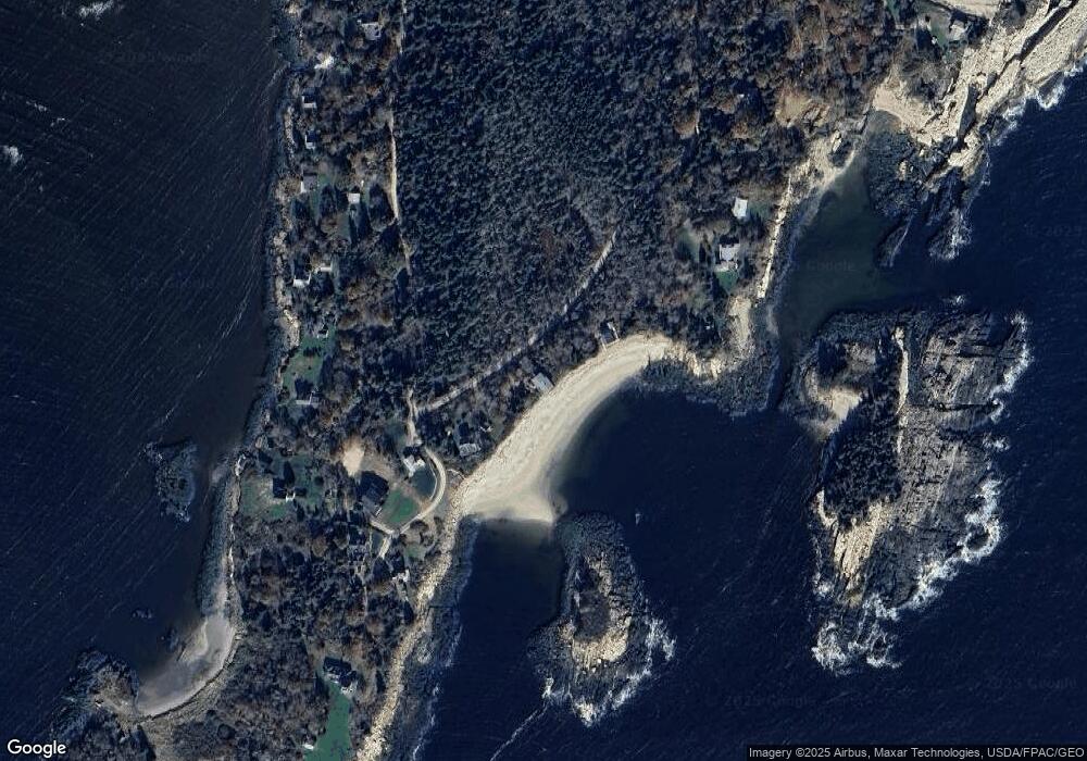
Map
Nearby Homes
- 823 Popham Rd
- Lot 5 Sagamore Dr
- Lot 5 Sagamore Dr Unit 5
- Lot 3 Sagamore Dr Unit 3
- Lot 3 Sagamore Dr
- 218 Sam Day Hill Rd
- 1682 Main Rd
- Lot 17A Snowman Ln
- 7-1 Wrong Way Dr
- 312 Small Point Rd
- 12 Spruce Gum Ln
- 15 Blueberry Hill Rd
- 1 Plum Ln Unit D
- 15 Church Ln
- 22 Gray Rd
- 1020 Hendricks Hill Rd
- 25 N End Rd
- 11 Youngs Rd
- 65 Shell Rd
- 25 Echo Ln
- 778 Indian Point Rd
- 6 Bayberry Ln
- 4 Bayberry Ln
- 782 Indian Point Rd
- 2 Bayberry Ln
- 789 Indian Point Rd
- 22 S Bay Rd
- 11 Promontory Way
- 19 Promontory Way
- 15 Morgan Ln
- 3 Seascape Dr
- 13 Morgan Ln
- 30 S Bay Rd
- 802 Indian Point Rd
- 32 S Bay Rd
- 805 Indian Point Rd
- 42 S Bay Rd
- 36 S Bay Rd
- 9 Seascape Dr
- 46 S Bay Rd