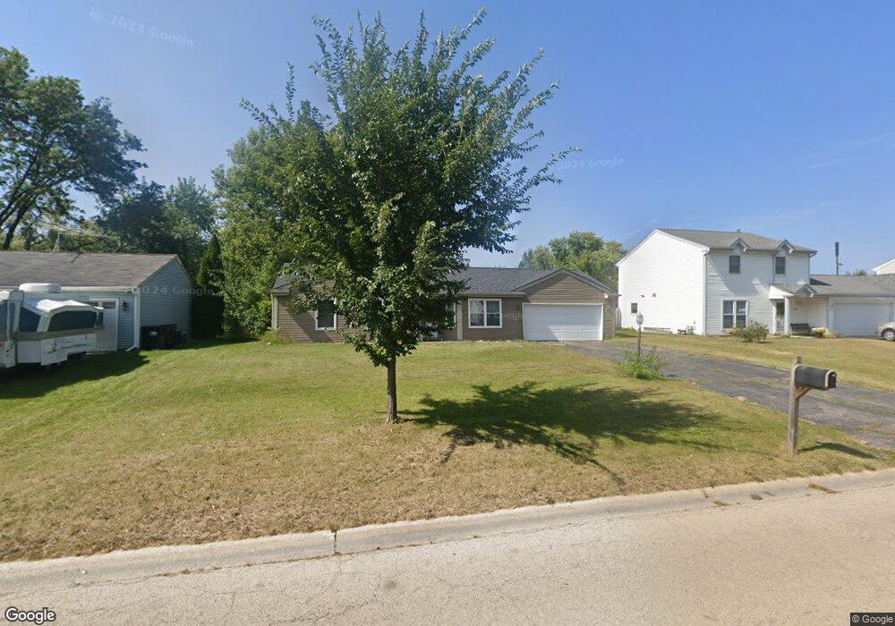
772 Newport Dr Island Lake, IL 60042
West Island Lake NeighborhoodEstimated Value: $287,000 - $303,000
3
Beds
3
Baths
1,090
Sq Ft
$271/Sq Ft
Est. Value
About This Home
This home is located at 772 Newport Dr, Island Lake, IL 60042 and is currently estimated at $295,004, approximately $270 per square foot. 772 Newport Dr is a home located in McHenry County with nearby schools including Cotton Creek School, Matthews Middle School, and Wauconda High School.
Ownership History
Date
Name
Owned For
Owner Type
Purchase Details
Closed on
Jun 20, 2003
Sold by
Basak Bruce F and Basak Karen M
Bought by
Camberis Linda J
Current Estimated Value
Home Financials for this Owner
Home Financials are based on the most recent Mortgage that was taken out on this home.
Original Mortgage
$159,050
Outstanding Balance
$69,318
Interest Rate
5.71%
Mortgage Type
Purchase Money Mortgage
Estimated Equity
$225,686
Create a Home Valuation Report for This Property
The Home Valuation Report is an in-depth analysis detailing your home's value as well as a comparison with similar homes in the area
Home Values in the Area
Average Home Value in this Area
Purchase History
| Date | Buyer | Sale Price | Title Company |
|---|---|---|---|
| Camberis Linda J | $164,000 | Ht |
Source: Public Records
Mortgage History
| Date | Status | Borrower | Loan Amount |
|---|---|---|---|
| Open | Camberis Linda J | $159,050 |
Source: Public Records
Tax History Compared to Growth
Tax History
| Year | Tax Paid | Tax Assessment Tax Assessment Total Assessment is a certain percentage of the fair market value that is determined by local assessors to be the total taxable value of land and additions on the property. | Land | Improvement |
|---|---|---|---|---|
| 2024 | $5,479 | $77,430 | $17,884 | $59,546 |
| 2023 | $5,232 | $69,438 | $16,038 | $53,400 |
| 2022 | $5,154 | $57,731 | $12,210 | $45,521 |
| 2021 | $4,972 | $54,127 | $11,448 | $42,679 |
| 2020 | $4,706 | $52,505 | $11,105 | $41,400 |
| 2019 | $4,636 | $49,919 | $10,558 | $39,361 |
| 2018 | $4,426 | $47,541 | $9,917 | $37,624 |
| 2017 | $4,287 | $45,546 | $9,501 | $36,045 |
| 2016 | $4,169 | $43,456 | $9,065 | $34,391 |
| 2013 | -- | $35,656 | $8,627 | $27,029 |
Source: Public Records
Map
Nearby Homes
- 811 Newport Dr
- 3625 Newport Dr
- 1040 Wimbledon Dr Unit 7
- 833 Dartmouth Dr Unit 7
- 1125 Revere Ln
- 3525 Southport Dr
- 0 Southport Dr
- 404 Lauren Ln
- NEC Route 176 & Westridge Dr
- 4024 Newport Dr
- 318 David Ct
- 3816 Riverside Dr
- Lot 9 Burton Trail
- 4125 Hale Ln Unit 10
- 3618 Burton Trail
- 1721 Il Route 176
- Lot 5 Tower Dr
- 3807 Mccabe Ave
- 2610 S Thomas Ct
- lot 23 Park Dr
- 760 Newport Dr
- 784 Newport Dr
- 748 Newport Dr
- 796 Newport Dr
- 771 Newport Dr
- 783 Newport Dr
- 736 Newport Dr
- 800 Newport Dr
- 747 Newport Dr
- 795 Newport Dr Unit 4
- 735 Newport Dr
- 724 Newport Dr Unit 4
- 851 Plymouth Ln
- 812 Newport Dr
- 863 Plymouth Ln
- 839 Plymouth Ln
- 801 Newport Dr
- 742 Portsmouth Dr Unit 5
- 827 Plymouth Ln
- 875 Plymouth Ln Unit 2