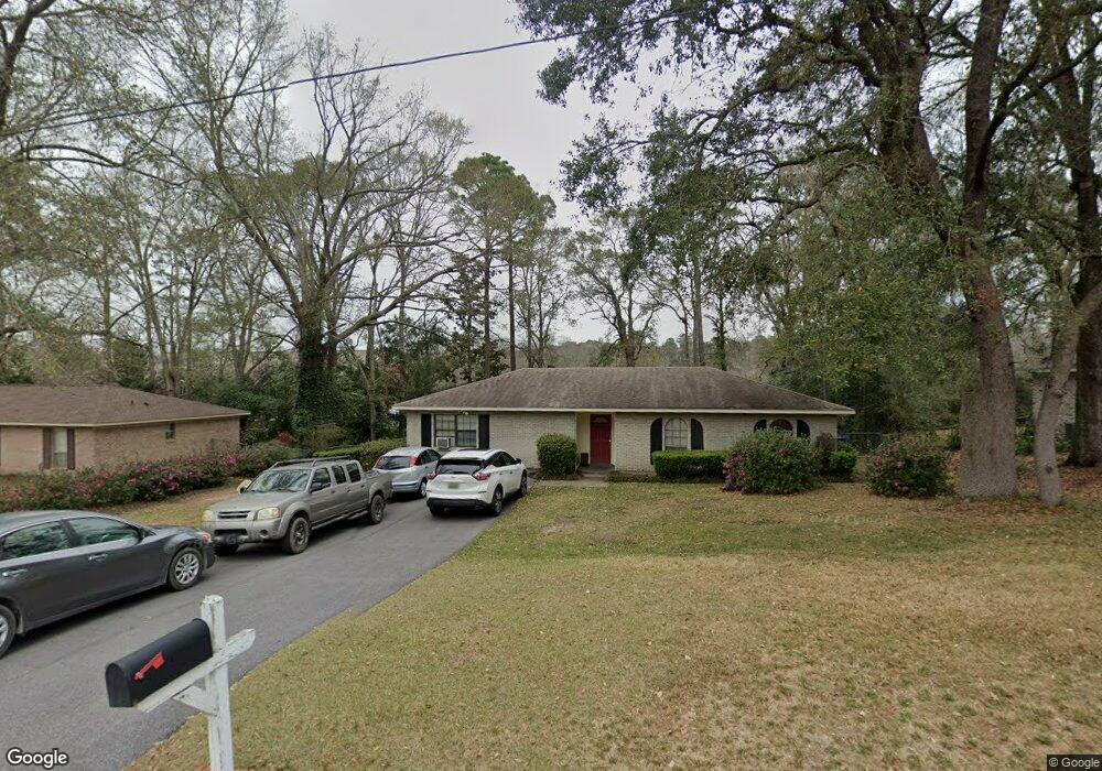
7720 Adobe Ridge Rd N Mobile, AL 36695
Second Creek NeighborhoodEstimated Value: $203,653 - $258,000
3
Beds
2
Baths
1,941
Sq Ft
$119/Sq Ft
Est. Value
About This Home
This home is located at 7720 Adobe Ridge Rd N, Mobile, AL 36695 and is currently estimated at $230,413, approximately $118 per square foot. 7720 Adobe Ridge Rd N is a home located in Mobile County with nearby schools including O'rourke Elementary School, Bernice J Causey Middle School, and Baker High School.
Ownership History
Date
Name
Owned For
Owner Type
Purchase Details
Closed on
Dec 27, 2000
Sold by
Deavers Powell William David and Deavers Powell Lasha
Bought by
Wales Matthew Craig and Wales Samantha Lynn
Current Estimated Value
Home Financials for this Owner
Home Financials are based on the most recent Mortgage that was taken out on this home.
Original Mortgage
$79,050
Outstanding Balance
$29,547
Interest Rate
7.72%
Estimated Equity
$200,866
Create a Home Valuation Report for This Property
The Home Valuation Report is an in-depth analysis detailing your home's value as well as a comparison with similar homes in the area
Home Values in the Area
Average Home Value in this Area
Purchase History
| Date | Buyer | Sale Price | Title Company |
|---|---|---|---|
| Wales Matthew Craig | -- | -- |
Source: Public Records
Mortgage History
| Date | Status | Borrower | Loan Amount |
|---|---|---|---|
| Open | Wales Matthew Craig | $79,050 |
Source: Public Records
Tax History Compared to Growth
Tax History
| Year | Tax Paid | Tax Assessment Tax Assessment Total Assessment is a certain percentage of the fair market value that is determined by local assessors to be the total taxable value of land and additions on the property. | Land | Improvement |
|---|---|---|---|---|
| 2024 | $625 | $14,050 | $3,000 | $11,050 |
| 2023 | $625 | $13,560 | $3,030 | $10,530 |
| 2022 | $513 | $11,930 | $2,750 | $9,180 |
| 2021 | $475 | $11,170 | $2,500 | $8,670 |
| 2020 | $475 | $11,170 | $2,500 | $8,670 |
| 2019 | $464 | $10,940 | $2,500 | $8,440 |
| 2018 | $464 | $10,940 | $0 | $0 |
| 2017 | $434 | $10,320 | $0 | $0 |
| 2016 | $529 | $12,280 | $0 | $0 |
| 2013 | $514 | $11,860 | $0 | $0 |
Source: Public Records
Map
Nearby Homes
- 7671 Creekwood Dr
- 0 Creekwood Place Dr Unit 7647963
- 7912 Yorkhaven Rd
- 2039 Creekwood Place Ct
- 7691 Sweetgum Ct
- 7971 Suzanne Way
- 8011 Suzanne Way
- 1542 Stone Hedge Dr W
- 8020 Suzanne Way
- 0 Silver Maple Dr Unit 13
- 0 Silver Maple Dr Unit 7663007
- 0 Silver Maple Dr Unit 9 & 10 363657
- 0 Silver Maple Dr Unit 7403058
- 1832 Aden Rd
- 1673 Aden Rd
- 8050 Saint Jude Cir N
- 1735 Ashmoor Dr W
- 7260 Pine Station Rd S
- 7610 Aspen Dr
- 8240 Taddish Dr N
- 7710 Adobe Ridge Rd N
- 7730 Adobe Ridge Rd N
- 7700 Adobe Ridge Rd N
- 7740 Adobe Ridge Rd N
- 7711 Adobe Ridge Rd N
- 7721 Adobe Ridge Rd N
- 7731 Adobe Ridge Rd N
- 7690 Adobe Ridge Rd N
- 7750 Adobe Ridge Rd N
- 1971 Adobe Ridge Rd W
- 7701 Adobe Ridge Rd N
- 7691 Adobe Ridge Rd N
- 1959 Schillinger Rd S
- 1941 Schillinger Rd S
- 2003 Adobe Ridge Rd W
- 7691 Creekwood Dr
- 1970 Adobe Ridge Rd W
- 7711 Creekwood Dr
- 7681 Creekwood Dr
- 7681 Adobe Ridge Rd N