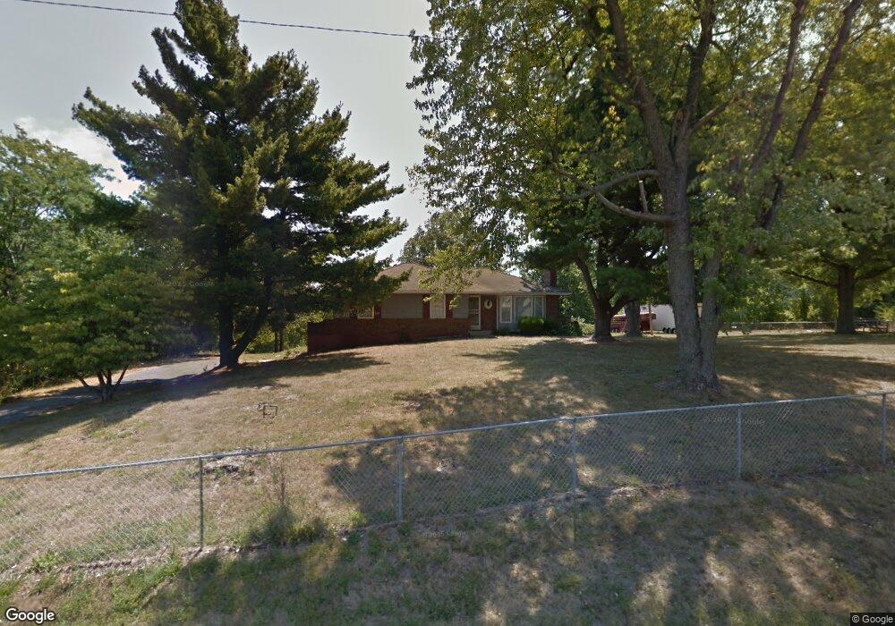
7721 Lees Summit Rd Kansas City, MO 64139
Chapel Ridge NeighborhoodEstimated Value: $292,000 - $351,000
3
Beds
2
Baths
1,410
Sq Ft
$231/Sq Ft
Est. Value
About This Home
This home is located at 7721 Lees Summit Rd, Kansas City, MO 64139 and is currently estimated at $325,199, approximately $230 per square foot. 7721 Lees Summit Rd is a home located in Jackson County with nearby schools including Bernard C. Campbell Middle School, Hazel Grove Elementary School, and Lee's Summit North High School.
Ownership History
Date
Name
Owned For
Owner Type
Purchase Details
Closed on
Jun 30, 2010
Sold by
Jones Paul S
Bought by
Gardner Jeffrey James and Enna Julie
Current Estimated Value
Home Financials for this Owner
Home Financials are based on the most recent Mortgage that was taken out on this home.
Original Mortgage
$187,475
Outstanding Balance
$124,407
Interest Rate
4.77%
Mortgage Type
FHA
Estimated Equity
$200,792
Create a Home Valuation Report for This Property
The Home Valuation Report is an in-depth analysis detailing your home's value as well as a comparison with similar homes in the area
Home Values in the Area
Average Home Value in this Area
Purchase History
| Date | Buyer | Sale Price | Title Company |
|---|---|---|---|
| Gardner Jeffrey James | -- | First American Title |
Source: Public Records
Mortgage History
| Date | Status | Borrower | Loan Amount |
|---|---|---|---|
| Open | Gardner Jeffrey James | $187,475 |
Source: Public Records
Tax History Compared to Growth
Tax History
| Year | Tax Paid | Tax Assessment Tax Assessment Total Assessment is a certain percentage of the fair market value that is determined by local assessors to be the total taxable value of land and additions on the property. | Land | Improvement |
|---|---|---|---|---|
| 2025 | $2,467 | $36,184 | $9,966 | $26,218 |
| 2024 | $2,441 | $33,060 | $25,036 | $8,024 |
| 2023 | $2,441 | $33,060 | $8,024 | $25,036 |
| 2022 | $2,283 | $27,360 | $4,449 | $22,911 |
| 2021 | $2,330 | $27,360 | $4,449 | $22,911 |
| 2020 | $2,070 | $24,017 | $4,449 | $19,568 |
| 2019 | $1,992 | $24,017 | $4,449 | $19,568 |
| 2018 | $1,841 | $20,903 | $3,872 | $17,031 |
| 2017 | $1,841 | $20,903 | $3,872 | $17,031 |
| 2016 | $1,806 | $20,379 | $4,429 | $15,950 |
| 2014 | $1,838 | $20,379 | $4,429 | $15,950 |
Source: Public Records
Map
Nearby Homes
- 3516 NW Primrose Ln
- 16109 E 76th St
- 324 NW Bradford St
- 16104 E 76th St
- 3508 NW Winding Woods Dr
- 3802 NW Lake Dr
- 3608 NW Blue Jacket Dr
- 3845 NW Cimarron St
- 7709 Brook Ln
- 202 NW Redwood Ct
- 7708 Brook Lane Ave
- 201 NW Redwood Ct
- 3905 NE Beechwood Dr
- 221 NW Aspen Ct
- 312 NW Locust St
- 215 NW Aspen St
- 220 NW Aspen St
- 203 NE Shoreview Dr
- 3743 NE Woodland Ct
- 4005 NE Channel Dr
- 7711 Lees Summit Rd
- 7635 Lees Summit Rd
- 7615 Pheasant Ct
- 7611 Pheasant Ct
- 7719 Pheasant Ct
- 7607 Pheasant Ct
- 7730 Lees Summit Rd
- 7601 Pheasant Ct
- 3532 NW Primrose Ct
- 7612 Pheasant Ct
- 7616 Pheasant Ct
- 7727 Dove Ave
- 7718 Pheasant Ct
- 3536 NW Primrose Ct
- 7600 Pheasant Ct
- 7608 Pheasant Ct
- 7604 Pheasant Ct
- 3528 NW Primrose Ct
- 3540 NW Primrose Ct
- 7729 Dove Ave