Estimated Value: $306,000 - $3,022,312
--
Bed
--
Bath
1,296
Sq Ft
$1,284/Sq Ft
Est. Value
About This Home
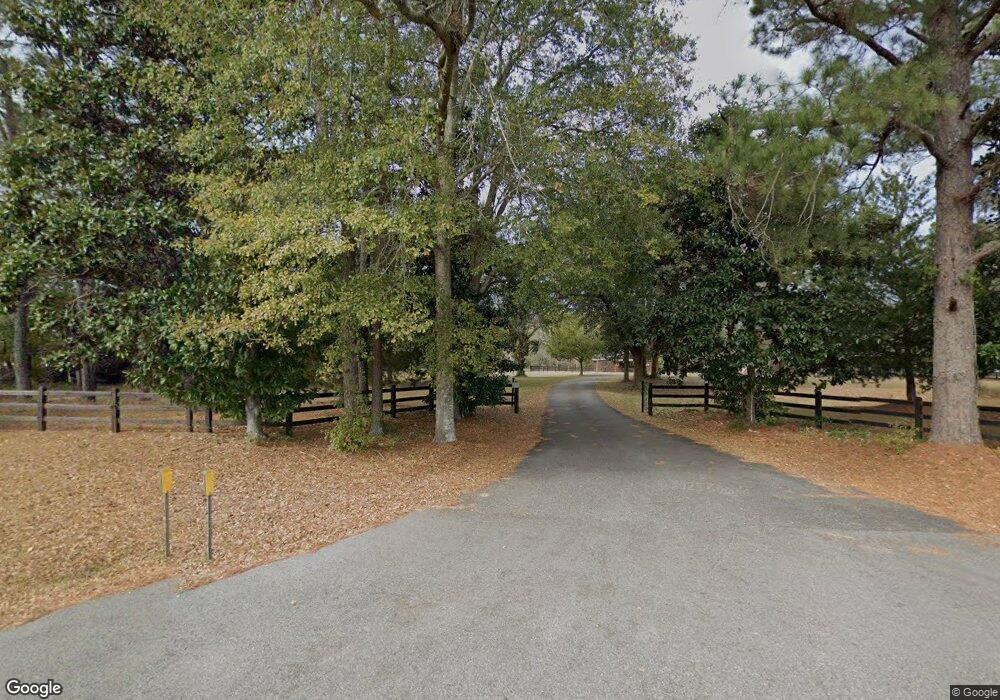
This home is located at 7722 Ga Highway 111 S, Cairo, GA 39828 and is currently estimated at $1,664,156, approximately $1,284 per square foot. 7722 Ga Highway 111 S is a home.
Ownership History
Date
Name
Owned For
Owner Type
Purchase Details
Closed on
Sep 7, 2009
Sold by
Peavy Family Llc
Bought by
Peavy Sugar Plum Farm Llc
Current Estimated Value
Purchase Details
Closed on
Dec 1, 2008
Sold by
Sugar Plum Llc
Bought by
Peavy Fam Llc
Purchase Details
Closed on
Apr 21, 2006
Sold by
Boulware Properties Llc
Bought by
Lake Murat Llc
Home Financials for this Owner
Home Financials are based on the most recent Mortgage that was taken out on this home.
Original Mortgage
$2,436,210
Interest Rate
6.28%
Mortgage Type
New Conventional
Purchase Details
Closed on
Oct 1, 2003
Sold by
S P Properties
Bought by
Boulware Peter N
Purchase Details
Closed on
Dec 30, 1972
Bought by
S P Properties
Create a Home Valuation Report for This Property
The Home Valuation Report is an in-depth analysis detailing your home's value as well as a comparison with similar homes in the area
Home Values in the Area
Average Home Value in this Area
Purchase History
| Date | Buyer | Sale Price | Title Company |
|---|---|---|---|
| Peavy Sugar Plum Farm Llc | $1,545,541 | -- | |
| Peavy Fam Llc | $1,540,000 | -- | |
| Lake Murat Llc | $2,426,000 | -- | |
| Boulware Peter N | $1,067,400 | -- | |
| S P Properties | -- | -- |
Source: Public Records
Mortgage History
| Date | Status | Borrower | Loan Amount |
|---|---|---|---|
| Previous Owner | Lake Murat Llc | $2,436,210 |
Source: Public Records
Tax History Compared to Growth
Tax History
| Year | Tax Paid | Tax Assessment Tax Assessment Total Assessment is a certain percentage of the fair market value that is determined by local assessors to be the total taxable value of land and additions on the property. | Land | Improvement |
|---|---|---|---|---|
| 2024 | $4,736 | $583,490 | $485,200 | $98,290 |
| 2023 | $4,463 | $575,957 | $485,200 | $90,757 |
| 2022 | $4,419 | $575,957 | $485,200 | $90,757 |
| 2021 | $4,390 | $575,957 | $485,200 | $90,757 |
| 2020 | $4,365 | $575,957 | $485,200 | $90,757 |
| 2019 | $17,849 | $575,957 | $485,200 | $90,757 |
| 2018 | $3,831 | $575,957 | $485,200 | $90,757 |
| 2017 | $3,613 | $575,957 | $485,200 | $90,757 |
| 2016 | $3,243 | $563,048 | $485,200 | $77,848 |
| 2015 | $3,173 | $563,048 | $485,200 | $77,848 |
| 2014 | $3,125 | $562,264 | $485,200 | $77,064 |
| 2013 | -- | $553,671 | $485,200 | $68,471 |
Source: Public Records
Map
Nearby Homes
- 114 Emily Ln
- 48 Blue Bird Ct
- 115 Isabelle Ln
- 7667 Tallahassee Hwy
- 0 Fla-Ga Hwy Unit 355337
- 9778 Florida Georgia Hwy
- 185 Maggies Dr
- 235 2nd Ave
- 4258 Lower Hawthorne Trail
- 170 Pine Top Trail
- 198 2nd Ave
- 151 Mcnair Rd
- 2525 Fairbanks Ferry Rd
- 3621 Concord Rd
- 226 My St
- 1447 Deer Run Rd
- 2065 Wayside Farm Rd
- 13 Raven Run
- Lot 19 Wisteria Ln
- 205/225 Still Water Ln
- 7411 Ga Highway 111 S
- 242 Tobacco Cir
- 250 Tobacco Cir
- 221 Limmer Ln
- 7387 Ga Highway 111 S
- 211 Limmer Ln
- 175 Limmer Ln
- 116 Darsey Rd
- 116 Darsey Rd
- 152 Darsey Rd
- 7775 Tallahassee Hwy
- 165 Limmer Ln
- 134 Darsey Rd
- 186 Limmer Ln
- 206 Limmer Ln
- 118 Swain Rd
- 7747 Tallahassee Hwy
- 107 Darsey Rd
- 189 Isabelle Ln
- 135 Limmer Ln
