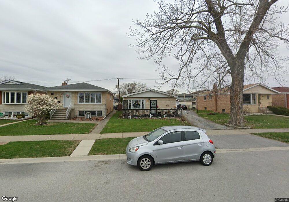
7724 Meade Ave Burbank, IL 60459
Estimated Value: $593,000
Studio
--
Bath
--
Sq Ft
37,026
Sq Ft Lot
About This Home
This home is located at 7724 Meade Ave, Burbank, IL 60459 and is currently estimated at $593,000. 7724 Meade Ave is a home located in Cook County with nearby schools including Harry E. Fry School, Reavis High School, and St Albert the Great Catholic School.
Ownership History
Date
Name
Owned For
Owner Type
Purchase Details
Closed on
Jun 9, 2003
Sold by
Skinner Robert J and Skinner Katherine M
Bought by
Cortez Ismael
Current Estimated Value
Home Financials for this Owner
Home Financials are based on the most recent Mortgage that was taken out on this home.
Original Mortgage
$114,300
Outstanding Balance
$47,052
Interest Rate
5.3%
Mortgage Type
Unknown
Estimated Equity
$545,948
Purchase Details
Closed on
Jul 31, 1993
Sold by
Skinner William A and Skinner Sandra M
Bought by
Skinner Robert J and Skinner Katherine M
Create a Home Valuation Report for This Property
The Home Valuation Report is an in-depth analysis detailing your home's value as well as a comparison with similar homes in the area
Home Values in the Area
Average Home Value in this Area
Purchase History
| Date | Buyer | Sale Price | Title Company |
|---|---|---|---|
| Cortez Ismael | $143,000 | Pntn | |
| Skinner Robert J | -- | -- |
Source: Public Records
Mortgage History
| Date | Status | Borrower | Loan Amount |
|---|---|---|---|
| Open | Cortez Ismael | $114,300 |
Source: Public Records
Tax History
| Year | Tax Paid | Tax Assessment Tax Assessment Total Assessment is a certain percentage of the fair market value that is determined by local assessors to be the total taxable value of land and additions on the property. | Land | Improvement |
|---|---|---|---|---|
| 2025 | $1,167 | $3,761 | $3,506 | $255 |
| 2024 | $1,167 | $3,761 | $3,506 | $255 |
| 2023 | $1,237 | $3,761 | $3,506 | $255 |
| 2022 | $1,237 | $3,207 | $2,952 | $255 |
| 2021 | $1,183 | $3,207 | $2,952 | $255 |
| 2020 | $1,142 | $3,207 | $2,952 | $255 |
| 2019 | $1,050 | $2,930 | $2,675 | $255 |
| 2018 | $1,020 | $2,930 | $2,675 | $255 |
| 2017 | $986 | $2,930 | $2,675 | $255 |
| 2016 | $870 | $2,469 | $2,214 | $255 |
| 2015 | $838 | $2,469 | $2,214 | $255 |
| 2014 | $812 | $2,469 | $2,214 | $255 |
| 2013 | $742 | $2,469 | $2,214 | $255 |
Source: Public Records
Map
Nearby Homes
- 7827 Meade Ave
- 7723 Melvina Ave
- 7851 Moody Ave
- 6124 W 79th St
- 7836 Monitor Ave
- 7544 Mason Ave
- 5822 W 79th St
- 7948 Merrimac Ave
- 8033 Austin Ave
- 7843 Massasoit Ave
- 5841 W 75th Place
- 8014 Mobile Ave
- 6117 W 81st St
- 7814 Major Ave
- 7820 Nagle Ave
- 8121 Mcvicker Ave
- 7805 Natchez Ave
- 5735 W 80th St
- 7709 Neenah Ave
- 7807 Parkside Ave
Your Personal Tour Guide
Ask me questions while you tour the home.