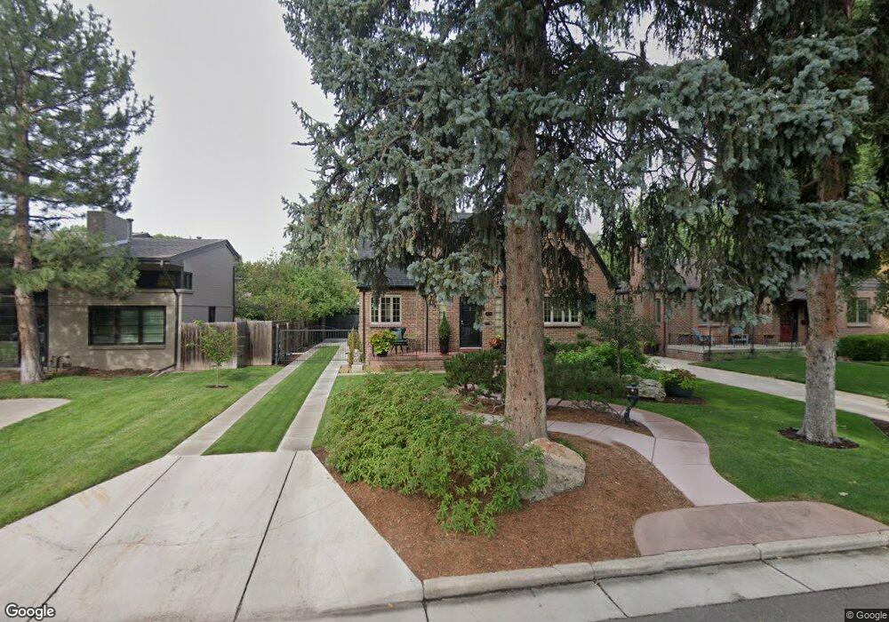
773 Locust St Denver, CO 80220
Montclair NeighborhoodEstimated Value: $929,000 - $1,108,981
About This Home
This home is located at 773 Locust St, Denver, CO 80220 and is currently estimated at $1,025,245, approximately $352 per square foot. 773 Locust St is a home located in Denver County with nearby schools including Carson Elementary School, Hill Campus of Arts & Sciences, and George Washington High School.
Ownership History
We collect this data history from publicly available records. To have your information removed, we recommend requesting removal directly through your county’s website.
Purchase Details
Home Financials for this Owner
Home Financials are based on the most recent Mortgage that was taken out on this home.Purchase Details
Home Financials for this Owner
Home Financials are based on the most recent Mortgage that was taken out on this home.Purchase Details
Home Values in the Area
Average Home Value in this Area
Purchase History
We collect this data history from publicly available records. To have your information removed, we recommend requesting removal directly through your county’s website.
| Date | Buyer | Sale Price | Title Company |
|---|---|---|---|
| $691,000 | First American Title | ||
| $213,000 | -- | ||
| -- | -- |
Mortgage History
We collect this data history from publicly available records. To have your information removed, we recommend requesting removal directly through your county’s website.
| Date | Status | Borrower | Loan Amount |
|---|---|---|---|
| Open | $531,000 | ||
| Previous Owner | $139,000 |
Tax History
We collect this data history from publicly available records. To have your information removed, we recommend requesting removal directly through your county’s website.
| Year | Tax Paid | Tax Assessment Tax Assessment Total Assessment is a certain percentage of the fair market value that is determined by local assessors to be the total taxable value of land and additions on the property. | Land | Improvement |
|---|---|---|---|---|
| 2025 | $5,373 | $70,230 | $39,640 | $39,640 |
| 2024 | $5,107 | $64,480 | $27,700 | $36,780 |
| 2023 | $4,996 | $64,480 | $27,700 | $36,780 |
| 2022 | $4,030 | $50,670 | $26,050 | $24,620 |
| 2021 | $3,890 | $52,130 | $26,800 | $25,330 |
| 2020 | $3,731 | $50,290 | $26,800 | $23,490 |
| 2019 | $3,627 | $50,290 | $26,800 | $23,490 |
| 2018 | $3,286 | $42,470 | $17,990 | $24,480 |
| 2017 | $3,276 | $42,470 | $17,990 | $24,480 |
| 2016 | $3,003 | $36,830 | $18,642 | $18,188 |
| 2015 | $2,877 | $36,830 | $18,642 | $18,188 |
| 2014 | $2,838 | $34,170 | $14,917 | $19,253 |
Map
- 784 Locust St
- 725 Monaco Pkwy
- 718 Locust St
- 717 N Monaco Street Pkwy
- 935 Monaco Pkwy
- 910 Kearney St
- 794 Niagara St
- 918 Magnolia St
- 795 Jasmine St
- 1035 Leyden St
- 760 Jersey St
- 1030 Krameria St
- 1000 Magnolia St
- 815 Oneida St
- 630 Jersey St
- 736 Ivy St
- 463 Locust St
- 5955 E 10th Ave Unit 409
- 5815 E 6th Avenue Pkwy
- 1130 N Monaco Pkwy
Ask me questions while you tour the home.