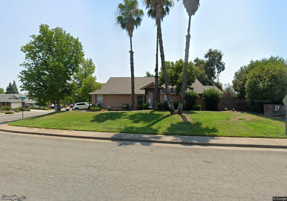
773 St Thomas Pkwy Redding, CA 96003
North Hilltop NeighborhoodEstimated Value: $355,323 - $379,000
3
Beds
2
Baths
1,560
Sq Ft
$235/Sq Ft
Est. Value
About This Home
This home is located at 773 St Thomas Pkwy, Redding, CA 96003 and is currently estimated at $367,081, approximately $235 per square foot. 773 St Thomas Pkwy is a home located in Shasta County with nearby schools including Turtle Bay, Sequoia Middle School, and Shasta High School.
Ownership History
Date
Name
Owned For
Owner Type
Purchase Details
Closed on
Sep 7, 2011
Sold by
Nider Lavern H
Bought by
Flowers David D and Flowers Cheryl A
Current Estimated Value
Purchase Details
Closed on
Sep 29, 2000
Sold by
Nider Philip J and Nider Lavern
Bought by
Nider Philip J and Nider Lavern H
Purchase Details
Closed on
Jan 8, 1998
Sold by
Said Kelli L and Said Evan T
Bought by
Nider Philip J and Nider Lavern
Create a Home Valuation Report for This Property
The Home Valuation Report is an in-depth analysis detailing your home's value as well as a comparison with similar homes in the area
Home Values in the Area
Average Home Value in this Area
Purchase History
| Date | Buyer | Sale Price | Title Company |
|---|---|---|---|
| Flowers David D | $162,000 | First American Title Company | |
| Nider Philip J | -- | -- | |
| Nider Philip J | $102,000 | Redding Title Company |
Source: Public Records
Tax History Compared to Growth
Tax History
| Year | Tax Paid | Tax Assessment Tax Assessment Total Assessment is a certain percentage of the fair market value that is determined by local assessors to be the total taxable value of land and additions on the property. | Land | Improvement |
|---|---|---|---|---|
| 2025 | $2,192 | $203,466 | $50,235 | $153,231 |
| 2024 | $2,160 | $199,477 | $49,250 | $150,227 |
| 2023 | $2,160 | $195,567 | $48,285 | $147,282 |
| 2022 | $2,124 | $191,734 | $47,339 | $144,395 |
| 2021 | $2,114 | $187,975 | $46,411 | $141,564 |
| 2020 | $2,141 | $186,049 | $45,936 | $140,113 |
| 2019 | $2,037 | $182,402 | $45,036 | $137,366 |
| 2018 | $2,054 | $178,826 | $44,153 | $134,673 |
| 2017 | $2,044 | $175,321 | $43,288 | $132,033 |
| 2016 | $1,981 | $171,885 | $42,440 | $129,445 |
| 2015 | $1,957 | $169,304 | $41,803 | $127,501 |
| 2014 | $1,944 | $165,989 | $40,985 | $125,004 |
Source: Public Records
Map
Nearby Homes
- 719 Saint Thomas Pkwy
- 454 Alamine Dr
- 720 Stonebriar Trail
- 726 Stonebriar Trail
- 732 Stonebriar Trail
- 738 Stonebriar Trail
- 11 Tanglewood Ln
- 488 Ridgecrest Trail Unit 132
- 488 Ridgecrest Trail Unit 133
- 444 Ridgecrest Trail Unit 119
- 466 Ridgecrest Trail Unit 136
- 200 Ridgetop Dr Unit 4
- 1026 Palisades Ave
- 856 Mission de Oro Dr
- 11037 Erickson Way
- 592 Mill Valley Pkwy
- 823 Mission Sierra Ct
- 825 Mission Sierra Ct
- 654 Rogue River Way
- 953 Tanglewood Dr
- 773 Saint Thomas Pkwy
- 505 Martinique Cir
- 768 Saint Thomas Pkwy
- 780 St Thomas Pkwy
- 780 Saint Thomas Pkwy
- 756 Saint Thomas Pkwy
- 517 Martinique Cir
- 510 Martinique Cir
- 744 Saint Thomas Pkwy
- 529 Martinique Cir
- 522 Martinique Cir
- 0 Martinique Cir
- 534 Martinique Cir Unit 1
- 534 Martinique Cir
- 722 Saint Thomas Pkwy
- 541 Martinique Cir
- 707 Saint Thomas Pkwy
- 0 Saint Thomas Pkwy
- 546 Martinique Cir
- 500 Hilltop Dr