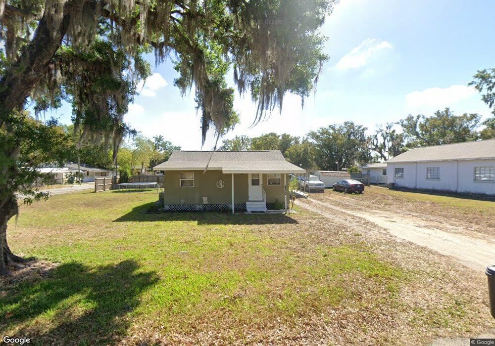
7730 121st Ave E Parrish, FL 34219
Estimated Value: $178,072 - $265,000
2
Beds
1
Bath
886
Sq Ft
$252/Sq Ft
Est. Value
About This Home
This home is located at 7730 121st Ave E, Parrish, FL 34219 and is currently estimated at $223,268, approximately $251 per square foot. 7730 121st Ave E is a home located in Manatee County with nearby schools including Barbara A. Harvey Elementary School, Buffalo Creek Middle School, and Parrish Community High School.
Ownership History
Date
Name
Owned For
Owner Type
Purchase Details
Closed on
Jun 25, 2007
Sold by
Masengale Charles E and Masengale Sandra E
Bought by
Masengale Charles E and Masengale Sandra E
Current Estimated Value
Home Financials for this Owner
Home Financials are based on the most recent Mortgage that was taken out on this home.
Original Mortgage
$136,000
Interest Rate
6.35%
Mortgage Type
New Conventional
Purchase Details
Closed on
Feb 1, 2007
Sold by
Masengale Charles E and Masengale Sandra E
Bought by
Masengale Charles E and Masengale Sandra E
Purchase Details
Closed on
Aug 9, 2002
Sold by
Cooley Glen D and Cooley Helen C
Bought by
Masengale Charles E and Masengale Sandra E
Home Financials for this Owner
Home Financials are based on the most recent Mortgage that was taken out on this home.
Original Mortgage
$30,000
Interest Rate
6.53%
Create a Home Valuation Report for This Property
The Home Valuation Report is an in-depth analysis detailing your home's value as well as a comparison with similar homes in the area
Home Values in the Area
Average Home Value in this Area
Purchase History
| Date | Buyer | Sale Price | Title Company |
|---|---|---|---|
| Masengale Charles E | -- | Mercedes Title Inc | |
| Masengale Charles E | -- | Attorney | |
| Masengale Charles E | $54,500 | -- |
Source: Public Records
Mortgage History
| Date | Status | Borrower | Loan Amount |
|---|---|---|---|
| Closed | Masengale Charles E | $136,000 | |
| Closed | Masengale Charles E | $30,000 |
Source: Public Records
Tax History
| Year | Tax Paid | Tax Assessment Tax Assessment Total Assessment is a certain percentage of the fair market value that is determined by local assessors to be the total taxable value of land and additions on the property. | Land | Improvement |
|---|---|---|---|---|
| 2025 | $1,595 | $89,368 | -- | -- |
| 2023 | $1,595 | $116,078 | $59,925 | $56,153 |
| 2022 | $1,357 | $87,987 | $40,000 | $47,987 |
| 2021 | $1,191 | $73,709 | $35,000 | $38,709 |
| 2020 | $1,010 | $55,491 | $18,450 | $37,041 |
| 2019 | $946 | $51,175 | $18,450 | $32,725 |
| 2018 | $904 | $48,309 | $18,450 | $29,859 |
| 2017 | $850 | $47,559 | $0 | $0 |
| 2016 | $824 | $46,275 | $0 | $0 |
Source: Public Records
Map
Nearby Homes
- 12346 U S 301
- 12300 Parrish Cemetary Rd
- 11809 Catawba Cove
- 12310 Oak Hill Way
- 7121 122nd Ave E
- 12342 Oak Hill Way
- 12350 Oak Hill Way
- 12358 Oak Hill Way
- 12369 Oak Hill Way
- 12362 Oak Hill Way
- 11955 Richmond Trail
- 12373 Oak Hill Way
- 12366 Oak Hill Way
- 12377 Oak Hill Way
- 11963 Richmond Trail
- 12374 Oak Hill Way
- 11908 Richmond Trail
- 8518 Arrow Creek Dr
- 11892 Richmond Trail
- 11869 Richmond Trail
- 12115 78th St E
- 7710 121st Ave E
- 7810 121st Ave E
- 12120 78th St E
- 7775 121st Ave E
- 12125 78th St E
- 7765 121st Ave E
- 7731 122nd Ave E
- 7711 122nd Ave E
- 7805 122nd Ave E
- 12106 77th St E
- 7755 121st Ave E
- 12116 77th St E
- 7807 122nd Ave E
- 7811 122nd Ave E
- 7850 121st Ave E
- 7703 122nd Ave E
- 7808 122nd Ave E
- 7903 122nd Ave E
- 7814 122nd Ave E
Your Personal Tour Guide
Ask me questions while you tour the home.