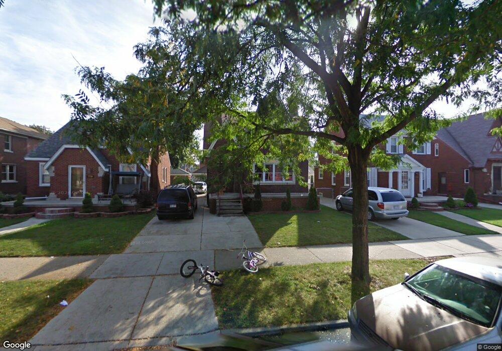
7730 Middlepointe St Dearborn, MI 48126
Aviation NeighborhoodEstimated Value: $247,828 - $297,000
4
Beds
3
Baths
1,514
Sq Ft
$179/Sq Ft
Est. Value
About This Home
This home is located at 7730 Middlepointe St, Dearborn, MI 48126 and is currently estimated at $270,457, approximately $178 per square foot. 7730 Middlepointe St is a home located in Wayne County with nearby schools including McDonald Elementary School, McCollough-Unis School, and Fordson High School.
Ownership History
Date
Name
Owned For
Owner Type
Purchase Details
Closed on
Jul 18, 2017
Sold by
Yahya Mohamed
Bought by
Mohamed Saleh Saeedah Ali
Current Estimated Value
Purchase Details
Closed on
Jun 1, 2011
Sold by
Kassem Mohamed M and Saleh Saeeda A
Bought by
Yahya Mohamed
Home Financials for this Owner
Home Financials are based on the most recent Mortgage that was taken out on this home.
Original Mortgage
$28,800
Interest Rate
4.67%
Mortgage Type
New Conventional
Create a Home Valuation Report for This Property
The Home Valuation Report is an in-depth analysis detailing your home's value as well as a comparison with similar homes in the area
Home Values in the Area
Average Home Value in this Area
Purchase History
| Date | Buyer | Sale Price | Title Company |
|---|---|---|---|
| Mohamed Saleh Saeedah Ali | $23,027 | None Available | |
| Yahya Mohamed | $36,000 | Connect Title Llc |
Source: Public Records
Mortgage History
| Date | Status | Borrower | Loan Amount |
|---|---|---|---|
| Previous Owner | Yahya Mohamed | $28,800 |
Source: Public Records
Tax History
| Year | Tax Paid | Tax Assessment Tax Assessment Total Assessment is a certain percentage of the fair market value that is determined by local assessors to be the total taxable value of land and additions on the property. | Land | Improvement |
|---|---|---|---|---|
| 2025 | $3,091 | $111,600 | $0 | $0 |
| 2024 | $3,023 | $104,400 | $0 | $0 |
| 2023 | $2,861 | $88,100 | $0 | $0 |
| 2022 | $3,219 | $72,200 | $0 | $0 |
| 2021 | $3,741 | $68,000 | $0 | $0 |
| 2019 | $3,703 | $59,900 | $0 | $0 |
| 2018 | $3,120 | $57,000 | $0 | $0 |
| 2017 | $599 | $50,400 | $0 | $0 |
| 2016 | $1,953 | $46,500 | $0 | $0 |
| 2015 | $3,690 | $40,500 | $0 | $0 |
| 2013 | $3,575 | $35,750 | $0 | $0 |
| 2011 | -- | $40,650 | $0 | $0 |
Source: Public Records
Map
Nearby Homes
- 7900 Middlepointe St
- 10339 Tireman Ave
- 7815 Normile St
- 7929 Normile St
- 8100 Middlepoint St
- 7658 Appoline St
- 8116 Wyoming Ave
- 8048 Kentucky St
- 8511 Lonyo St
- 55 Morross Cir Unit 7
- 8315 Freda St
- 8265 Kentucky St
- 8258 Meyers Rd
- 8155 Appoline St
- 8088 Wisconsin St
- 7857 Esper Blvd
- 12953 Tireman Ave
- 28 Morross Cir Unit 45
- 30 Morross Cir Unit 44
- 8355 Normile St
- 7722 Middlepointe St
- 7716 Middlepointe St
- 7748 Middlepointe St
- 7754 Middlepointe St
- 7706 Middlepointe St
- 7723 E Morrow Cir
- 7741 E Morrow Cir
- 7731 E Morrow Cir
- 7715 E Morrow Cir
- 7747 E Morrow Cir
- 7700 Middlepointe St
- 7709 E Morrow Cir
- 7757 E Morrow Cir
- 7731 Middlepointe St
- 7741 Middlepointe St
- 7747 Middlepointe St
- 7659 E Morrow Cir
- 7652 Middlepointe St
- 7755 Middlepointe St
- 7725 Middlepointe St
Your Personal Tour Guide
Ask me questions while you tour the home.