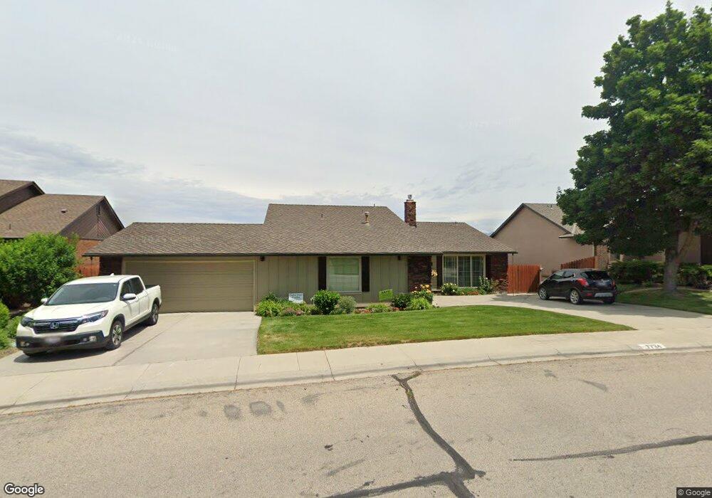
7734 W Thunder Mountain Dr Boise, ID 83709
Southwest Boise NeighborhoodEstimated Value: $496,000 - $546,469
3
Beds
2
Baths
1,985
Sq Ft
$261/Sq Ft
Est. Value
About This Home
This home is located at 7734 W Thunder Mountain Dr, Boise, ID 83709 and is currently estimated at $518,867, approximately $261 per square foot. 7734 W Thunder Mountain Dr is a home located in Ada County with nearby schools including Amity Elementary School, West Junior High School, and Borah Senior High School.
Ownership History
Date
Name
Owned For
Owner Type
Purchase Details
Closed on
Nov 1, 2021
Sold by
Randall Clinton L and Randall Glenda S
Bought by
Randall Clinton L and Randall Glenda S
Current Estimated Value
Purchase Details
Closed on
Jun 20, 1997
Sold by
Gurnsey Kathleen W and Lappens Shirley
Bought by
Randall Clinton L and Randall Glenda S
Home Financials for this Owner
Home Financials are based on the most recent Mortgage that was taken out on this home.
Original Mortgage
$164,350
Outstanding Balance
$23,437
Interest Rate
7.94%
Mortgage Type
Purchase Money Mortgage
Estimated Equity
$495,430
Create a Home Valuation Report for This Property
The Home Valuation Report is an in-depth analysis detailing your home's value as well as a comparison with similar homes in the area
Home Values in the Area
Average Home Value in this Area
Purchase History
| Date | Buyer | Sale Price | Title Company |
|---|---|---|---|
| Randall Clinton L | -- | None Available | |
| Randall Clinton L | -- | Alliance Title |
Source: Public Records
Mortgage History
| Date | Status | Borrower | Loan Amount |
|---|---|---|---|
| Open | Randall Clinton L | $164,350 |
Source: Public Records
Tax History Compared to Growth
Tax History
| Year | Tax Paid | Tax Assessment Tax Assessment Total Assessment is a certain percentage of the fair market value that is determined by local assessors to be the total taxable value of land and additions on the property. | Land | Improvement |
|---|---|---|---|---|
| 2025 | $2,315 | $496,700 | -- | -- |
| 2024 | $2,509 | $483,100 | -- | -- |
| 2023 | $2,759 | $484,100 | -- | -- |
| 2022 | $2,759 | $565,600 | $0 | $0 |
| 2021 | $2,915 | $490,500 | $0 | $0 |
| 2020 | $2,652 | $381,100 | $0 | $0 |
| 2019 | $2,476 | $348,200 | $0 | $0 |
| 2018 | $2,085 | $294,000 | $0 | $0 |
| 2017 | $1,842 | $263,200 | $0 | $0 |
| 2016 | $1,813 | $248,000 | $0 | $0 |
| 2015 | $1,649 | $233,600 | $0 | $0 |
| 2012 | -- | $164,300 | $0 | $0 |
Source: Public Records
Map
Nearby Homes
- 7825 W Thunder Mountain Dr
- 7630 W Thunder Mountain Dr
- 4400 S Carbine Ave
- 851 S Cole Rd
- T.B.D. S Cole Rd
- 7967 W Tillamook Dr
- 4367 S Cochees Way
- 8195 W Mojave Dr
- 8298 W Mojave Dr
- 3470 S Cole Rd
- 4338 S Choctaw Way
- 3147 S Jupiter Ave
- 7519 W Sorenson Dr
- 5109 S Cheyenne Ave
- 2959 S Saturn Way
- 3282 S Featherly Way
- 7092 W Chilacot Dr
- 4045 S Maple Grove Rd
- 5007 S Umatilla Ave
- 5757 S Cole Rd
- 7760 W Thunder Mountain Dr
- 7708 W Thunder Mountain Dr
- 7735 W Thunder Mountain Dr
- 7786 W Thunder Mountain Dr
- 7682 W Thunder Mountain Dr
- 4340 Silver Spur Ave
- 7709 W Thunder Mountain Dr
- 7683 W Thunder Mountain Dr
- 7710 Sundance Dr
- 7812 W Thunder Mountain Dr
- 7686 Sundance Dr
- 7686 W Sundance Dr
- 7657 W Thunder Mountain Dr
- 7662 Sundance Dr
- 4341 Silver Spur Ave
- 7824 W Thunder Mountain Dr
- 7631 W Thunder Mountain Dr
- 4363 Silver Spur Ave
- 7638 W Sundance Dr
- 7638 Sundance Dr