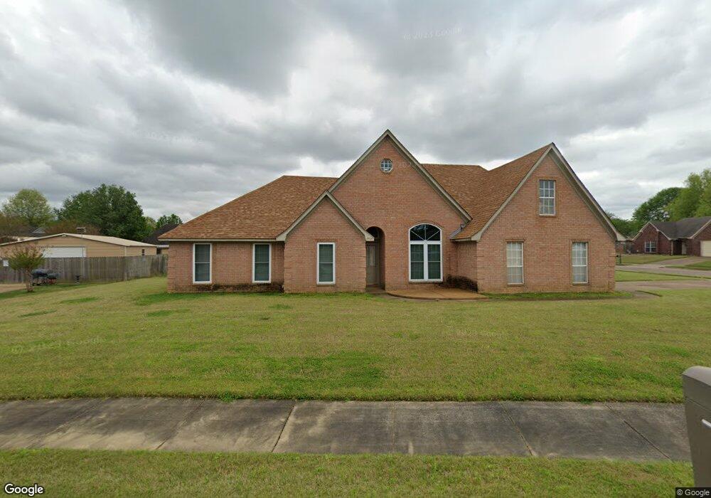
7737 Shadow Brook Dr Arlington, TN 38002
Estimated Value: $319,000 - $353,000
3
Beds
2
Baths
2,390
Sq Ft
$140/Sq Ft
Est. Value
About This Home
This home is located at 7737 Shadow Brook Dr, Arlington, TN 38002 and is currently estimated at $334,983, approximately $140 per square foot. 7737 Shadow Brook Dr is a home located in Shelby County with nearby schools including Bon Lin Elementary School, Bon Lin Middle School, and Bartlett High School.
Ownership History
Date
Name
Owned For
Owner Type
Purchase Details
Closed on
Aug 7, 2002
Sold by
Creekside Homes
Bought by
Springfield Ike
Current Estimated Value
Home Financials for this Owner
Home Financials are based on the most recent Mortgage that was taken out on this home.
Original Mortgage
$153,650
Outstanding Balance
$64,877
Interest Rate
6.52%
Mortgage Type
FHA
Estimated Equity
$270,106
Create a Home Valuation Report for This Property
The Home Valuation Report is an in-depth analysis detailing your home's value as well as a comparison with similar homes in the area
Home Values in the Area
Average Home Value in this Area
Purchase History
| Date | Buyer | Sale Price | Title Company |
|---|---|---|---|
| Springfield Ike | $154,900 | Lenders Title & Escrow Llc |
Source: Public Records
Mortgage History
| Date | Status | Borrower | Loan Amount |
|---|---|---|---|
| Open | Springfield Ike | $153,650 |
Source: Public Records
Tax History
| Year | Tax Paid | Tax Assessment Tax Assessment Total Assessment is a certain percentage of the fair market value that is determined by local assessors to be the total taxable value of land and additions on the property. | Land | Improvement |
|---|---|---|---|---|
| 2025 | $2,148 | $88,975 | $16,200 | $72,775 |
| 2024 | $2,148 | $63,375 | $11,250 | $52,125 |
| 2023 | $3,245 | $63,375 | $11,250 | $52,125 |
| 2022 | $3,245 | $63,375 | $11,250 | $52,125 |
| 2021 | $3,296 | $63,375 | $11,250 | $52,125 |
| 2020 | $2,756 | $46,875 | $9,800 | $37,075 |
| 2019 | $2,756 | $46,875 | $9,800 | $37,075 |
| 2018 | $2,756 | $46,875 | $9,800 | $37,075 |
| 2017 | $1,927 | $46,875 | $9,800 | $37,075 |
| 2016 | $1,701 | $38,925 | $0 | $0 |
| 2014 | $1,701 | $38,925 | $0 | $0 |
Source: Public Records
Map
Nearby Homes
- 7775 Shadow Elm Ln
- 4600 Shadow Field Ln
- 4750 N Germantown Pkwy
- 4852 Shira Dr
- 4517 Hillyglen Cove
- 4500 Hillyglen Cove
- 8208 Hunters Meadow Ln
- 8215 Hunters Meadow Ln
- 5094 Winberry Cove N
- 4789 Snickers Dr
- 4798 Snickers Dr
- 7439 Lexie Gardner Rd
- 4279 High Plains Rd
- 8280 Rebecca Woods Dr
- 8118 White Wing Cove W
- 8132 White Wing Cove W
- 00004 Old Brownsville Rd
- 4998 Farmland Way
- 4732 Hunters Glade Ln
- 8245 Sawyer Mill Cove
- 7797 Shadow Fork Ln
- 7751 Shadow Brook Dr
- 4822 Shadow Pine Cove
- 7804 Shadow Fork Ln
- 7744 Shadow Elm Ln
- 7787 Shadow Fork Ln
- 7798 Shadow Fork Ln
- 4817 Shadow Pine Cove
- 4828 Shadow Pine Cove
- 7752 Shadow Elm Ln
- 7788 Shadow Fork Ln
- 4825 Shadow Pine Cove
- 7760 Shadow Elm Ln
- 4812 Shadow View Ln
- 4804 Shadow View Ln
- 7780 Shadow Fork Ln
- 4820 Shadow View Ln
- 7768 Shadow Elm Ln
- 4831 Shadow Pine Cove
- 7768 Shadow Elm Ln
Your Personal Tour Guide
Ask me questions while you tour the home.