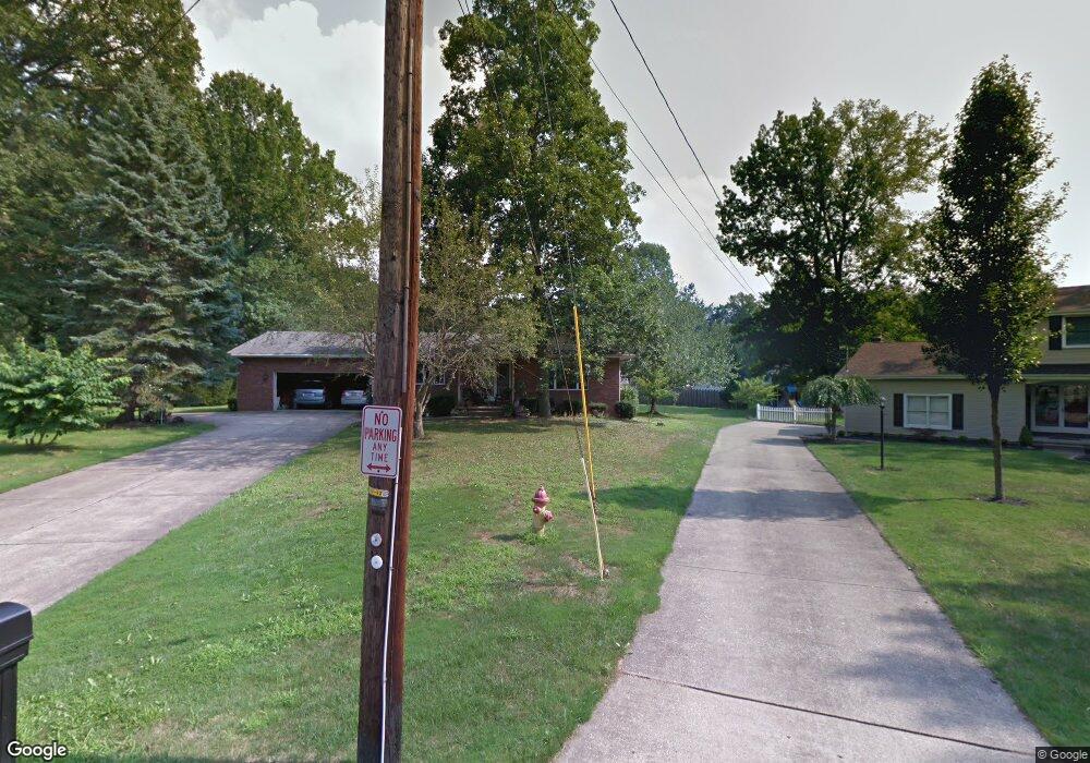
7739 W Parkside Dr Youngstown, OH 44512
Estimated Value: $258,000 - $297,000
3
Beds
2
Baths
2,394
Sq Ft
$116/Sq Ft
Est. Value
About This Home
This home is located at 7739 W Parkside Dr, Youngstown, OH 44512 and is currently estimated at $277,057, approximately $115 per square foot. 7739 W Parkside Dr is a home located in Mahoning County with nearby schools including Stadium Drive Elementary School, Boardman Center Middle School, and Boardman High School.
Ownership History
Date
Name
Owned For
Owner Type
Purchase Details
Closed on
Sep 27, 2019
Sold by
Janosik Margaret A
Bought by
Muhammad Hendrix and Janosik Stefanie
Current Estimated Value
Home Financials for this Owner
Home Financials are based on the most recent Mortgage that was taken out on this home.
Original Mortgage
$95,645
Outstanding Balance
$85,029
Interest Rate
4.25%
Mortgage Type
FHA
Estimated Equity
$192,028
Purchase Details
Closed on
Nov 27, 1996
Sold by
Wagner Neal T
Bought by
Thomas and Janosik Margaret
Home Financials for this Owner
Home Financials are based on the most recent Mortgage that was taken out on this home.
Original Mortgage
$90,000
Interest Rate
7.94%
Mortgage Type
New Conventional
Purchase Details
Closed on
Apr 7, 1972
Bought by
Wagner Neal T and Wagner Nancy L
Create a Home Valuation Report for This Property
The Home Valuation Report is an in-depth analysis detailing your home's value as well as a comparison with similar homes in the area
Home Values in the Area
Average Home Value in this Area
Purchase History
| Date | Buyer | Sale Price | Title Company |
|---|---|---|---|
| Muhammad Hendrix | $110,000 | None Available | |
| Thomas | $140,000 | -- | |
| Wagner Neal T | -- | -- |
Source: Public Records
Mortgage History
| Date | Status | Borrower | Loan Amount |
|---|---|---|---|
| Open | Muhammad Hendrix | $95,645 | |
| Previous Owner | Thomas | $90,000 |
Source: Public Records
Tax History Compared to Growth
Tax History
| Year | Tax Paid | Tax Assessment Tax Assessment Total Assessment is a certain percentage of the fair market value that is determined by local assessors to be the total taxable value of land and additions on the property. | Land | Improvement |
|---|---|---|---|---|
| 2024 | $3,753 | $73,390 | $12,240 | $61,150 |
| 2023 | $3,703 | $73,390 | $12,240 | $61,150 |
| 2022 | $3,761 | $57,050 | $12,240 | $44,810 |
| 2021 | $3,763 | $57,050 | $12,240 | $44,810 |
| 2020 | $3,783 | $57,050 | $12,240 | $44,810 |
| 2019 | $3,276 | $52,250 | $12,240 | $40,010 |
| 2018 | $2,762 | $52,250 | $12,240 | $40,010 |
| 2017 | $2,759 | $52,250 | $12,240 | $40,010 |
| 2016 | $2,445 | $46,910 | $7,160 | $39,750 |
| 2015 | $2,396 | $46,910 | $7,160 | $39,750 |
| 2014 | $2,403 | $46,910 | $7,160 | $39,750 |
| 2013 | $2,373 | $46,910 | $7,160 | $39,750 |
Source: Public Records
Map
Nearby Homes
- 7692 W Parkside Dr
- 7716 Silver Fox Dr
- 7511 E Parkside Dr
- 7556 Jaguar Dr
- 7544 Jaguar Dr
- 7603 Red Fox Dr
- 7784 Hitchcock Rd
- 2319 Hunters Ridge
- 7851 Huntington Cir
- 8121 Hitchcock Rd Unit 10
- 179 Southwoods Ave
- 7553 Glenwood Ave
- 1193 Red Tail Hawk Ct Unit 1
- 1133 Red Tail Hawk Ct Unit 6
- 0 Pinewood Dr Unit 5140025
- 7387 Oregon Trail
- 6938 Ron Park Place
- 6957 Tippecanoe Rd
- 7367 Oregon Trail
- 6911 Tippecanoe Rd
- 7733 W Parkside Dr
- 7740 W Parkside Dr
- 7800 E Parkside Dr
- 7794 E Parkside Dr
- 7727 W Parkside Dr
- 7806 E Parkside Dr
- 7762 E Parkside Dr
- 7788 E Parkside Dr
- 7734 W Parkside Dr
- 7750 E Parkside Dr
- 7772 E Parkside Dr
- 7726 W Parkside Dr
- 7812 E Parkside Dr
- 7738 E Parkside Dr
- 8012 E Parkside Ct
- 7720 W Parkside Dr
- 7726 E Parkside Dr
- 8006 E Parkside Ct
- 7715 W Parkside Dr
- 8000 E Parkside Ct