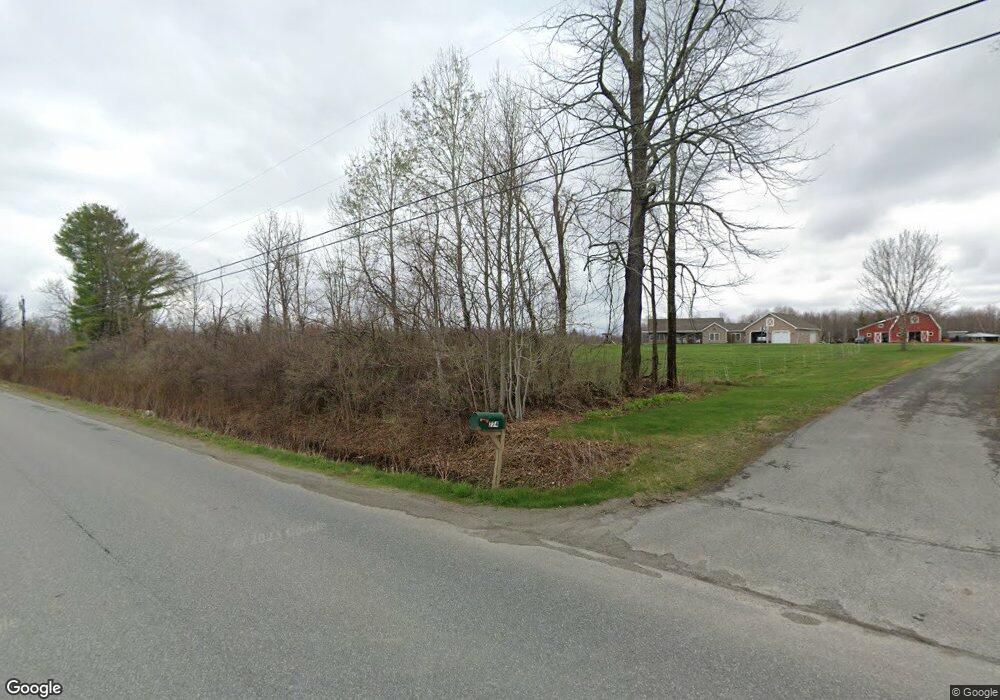
774 Battle Ridge Rd Clinton, ME 04927
Estimated Value: $253,000 - $503,990
--
Bed
--
Bath
1,280
Sq Ft
$299/Sq Ft
Est. Value
About This Home
This home is located at 774 Battle Ridge Rd, Clinton, ME 04927 and is currently estimated at $382,748, approximately $299 per square foot. 774 Battle Ridge Rd is a home with nearby schools including Lawrence High School.
Ownership History
Date
Name
Owned For
Owner Type
Purchase Details
Closed on
Sep 14, 2005
Sold by
Powers Jason L
Bought by
Powers Dawn R and Powers Jason L
Current Estimated Value
Home Financials for this Owner
Home Financials are based on the most recent Mortgage that was taken out on this home.
Original Mortgage
$174,400
Interest Rate
6%
Mortgage Type
Commercial
Create a Home Valuation Report for This Property
The Home Valuation Report is an in-depth analysis detailing your home's value as well as a comparison with similar homes in the area
Home Values in the Area
Average Home Value in this Area
Purchase History
| Date | Buyer | Sale Price | Title Company |
|---|---|---|---|
| Powers Dawn R | -- | -- |
Source: Public Records
Mortgage History
| Date | Status | Borrower | Loan Amount |
|---|---|---|---|
| Closed | Powers Dawn R | $174,400 |
Source: Public Records
Tax History Compared to Growth
Tax History
| Year | Tax Paid | Tax Assessment Tax Assessment Total Assessment is a certain percentage of the fair market value that is determined by local assessors to be the total taxable value of land and additions on the property. | Land | Improvement |
|---|---|---|---|---|
| 2024 | $6,599 | $361,610 | $66,770 | $294,840 |
| 2023 | $6,136 | $365,260 | $70,420 | $294,840 |
| 2022 | $4,580 | $363,510 | $68,670 | $294,840 |
| 2021 | $5,486 | $363,320 | $68,480 | $294,840 |
| 2020 | $4,925 | $247,510 | $45,770 | $201,740 |
| 2017 | $4,819 | $248,380 | $46,640 | $201,740 |
| 2016 | $2,885 | $245,825 | $41,822 | $204,003 |
| 2015 | $4,534 | $247,779 | $41,822 | $205,957 |
| 2014 | $4,388 | $247,900 | $41,600 | $206,300 |
Source: Public Records
Map
Nearby Homes
- 648 Battle Ridge Rd
- TBD Hillside Dr
- 777 Hinckley Rd
- 1107 Hill Rd
- Lot 52 Ella Gerald Rd
- 376 Battle Ridge Rd
- 13 Aspen Ln
- 888 Hinckley Rd
- 910 Mutton Ln
- 10 Bush Rd
- 1779 River Rd
- TBD Mutton Ln
- Lot31 Johnson Flat Rd
- 1690 River Rd
- 262 Hill Rd
- Lot 7 Oak Pond Rd
- Lot 6 Oak Pond Rd
- Lot 5 Oak Pond Rd
- Lot 4 Oak Pond Rd
- Lot 3 Oak Pond Rd
- 725 Battle Ridge Rd
- 724 Battle Ridge Rd
- 761 Battle Ridge Rd
- 737 Battle Ridge Rd
- 697 Battle Ridge
- 697 Battle Ridge Rd
- 779 Battle Ridge Rd
- 784 Battle Ridge Rd
- 682 Battle Ridge Rd
- 675 Battle Ridge Rd
- 795 Battle Ridge Rd
- 668 Battle Ridge Rd
- 695 Battle Ridge Rd
- 660 Battleridge Rd
- 656 Battle Ridge Rd
- 692 Battle Ridge Rd
- 645 Battle Ridge Rd
- 645 Battle Ridge Rd
- 845 Battleridge Rd
- 617 Battle Ridge Rd