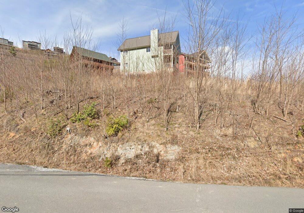
774 Cliff Branch Rd Gatlinburg, TN 37738
Estimated Value: $1,031,114 - $1,350,000
--
Bed
2
Baths
3,360
Sq Ft
$354/Sq Ft
Est. Value
About This Home
This home is located at 774 Cliff Branch Rd, Gatlinburg, TN 37738 and is currently estimated at $1,190,557, approximately $354 per square foot. 774 Cliff Branch Rd is a home located in Sevier County with nearby schools including Catons Chapel Elementary School, Northview Elementary School, and Jones Cove Elementary School.
Ownership History
Date
Name
Owned For
Owner Type
Purchase Details
Closed on
Apr 7, 2025
Sold by
Waldron Betsy Haynes and Waldron David V
Bought by
Haynes Waldron Betsy and Waldron David V
Current Estimated Value
Purchase Details
Closed on
Apr 3, 2000
Sold by
Haynes Waldron Betsy
Bought by
Wolfe Randall S
Purchase Details
Closed on
Sep 8, 1997
Sold by
Haynes Waldron Betsy
Bought by
Wolfe Sandra K
Purchase Details
Closed on
Oct 5, 1995
Sold by
Waldron David V
Bought by
Haynes Waldron Betsy
Create a Home Valuation Report for This Property
The Home Valuation Report is an in-depth analysis detailing your home's value as well as a comparison with similar homes in the area
Home Values in the Area
Average Home Value in this Area
Purchase History
| Date | Buyer | Sale Price | Title Company |
|---|---|---|---|
| Haynes Waldron Betsy | -- | None Listed On Document | |
| Haynes Waldron Betsy | -- | None Listed On Document | |
| Waldron Betsy Haynes | -- | None Listed On Document | |
| Haynes Waldron Betsy | -- | None Listed On Document | |
| Wolfe Randall S | -- | -- | |
| Wolfe Sandra K | $15,000 | -- | |
| Haynes Waldron Betsy | -- | -- |
Source: Public Records
Tax History Compared to Growth
Tax History
| Year | Tax Paid | Tax Assessment Tax Assessment Total Assessment is a certain percentage of the fair market value that is determined by local assessors to be the total taxable value of land and additions on the property. | Land | Improvement |
|---|---|---|---|---|
| 2025 | $2,309 | $156,000 | $14,075 | $141,925 |
| 2024 | $3,694 | $249,600 | $22,520 | $227,080 |
| 2023 | $3,694 | $249,600 | $0 | $0 |
| 2022 | $2,309 | $156,000 | $14,075 | $141,925 |
| 2021 | $2,309 | $156,000 | $14,075 | $141,925 |
| 2020 | $1,535 | $156,000 | $14,075 | $141,925 |
| 2019 | $1,472 | $82,500 | $10,950 | $71,550 |
| 2018 | $204 | $10,950 | $10,950 | $0 |
| 2017 | $204 | $10,950 | $10,950 | $0 |
| 2016 | $753 | $40,475 | $10,950 | $29,525 |
| 2015 | -- | $46,375 | $0 | $0 |
| 2014 | $756 | $46,375 | $0 | $0 |
Source: Public Records
Map
Nearby Homes
- 887 Sourwood Dr
- 879 Sourwood Dr
- 0 Wiley Oakley Dr Unit 1304373
- 1131 Longview Ct
- 730 Wiley Oakley Dr
- Lot 126 Elm Rd
- 0 Elm Rd
- 907 Wiley Oakley Dr
- 710 Wiley Oakley Dr
- 859 Sourwood Dr
- 918 Elm Rd
- 862 Sourwood Dr
- 710 Village Loop Rd
- 843 Sourwood Dr
- 645 Wiley Oakley Dr
- 915 Statham Way
- 743 Village Loop Rd
- 921,22,27 Statham Way
- 1072 Village Loop Rd
- 748 Village Loop Rd
- 776 Cliff Branch Rd
- 809 Cliff Branch Rd
- 770 Cliff Branch Rd
- 946 Sourwood Dr
- 953 Sourwood Dr
- 1338 Sourwood Dr
- 1415 Sourwood Dr
- 915 Daisy Ln
- 766 Cliff Branch Rd
- 819 Cliff Branch Rd
- 909 W Cedar Ln
- 910 W Cedar Ln
- 945 Sourwood Dr
- 916 W Cedar Ln
- 913 W Cedar Ln
- 926 Daisy Ln
- 920 W Cedar Ln
- 930 Sourwood Dr
- 939 Daisy Ln
- 921 W Cedar Ln