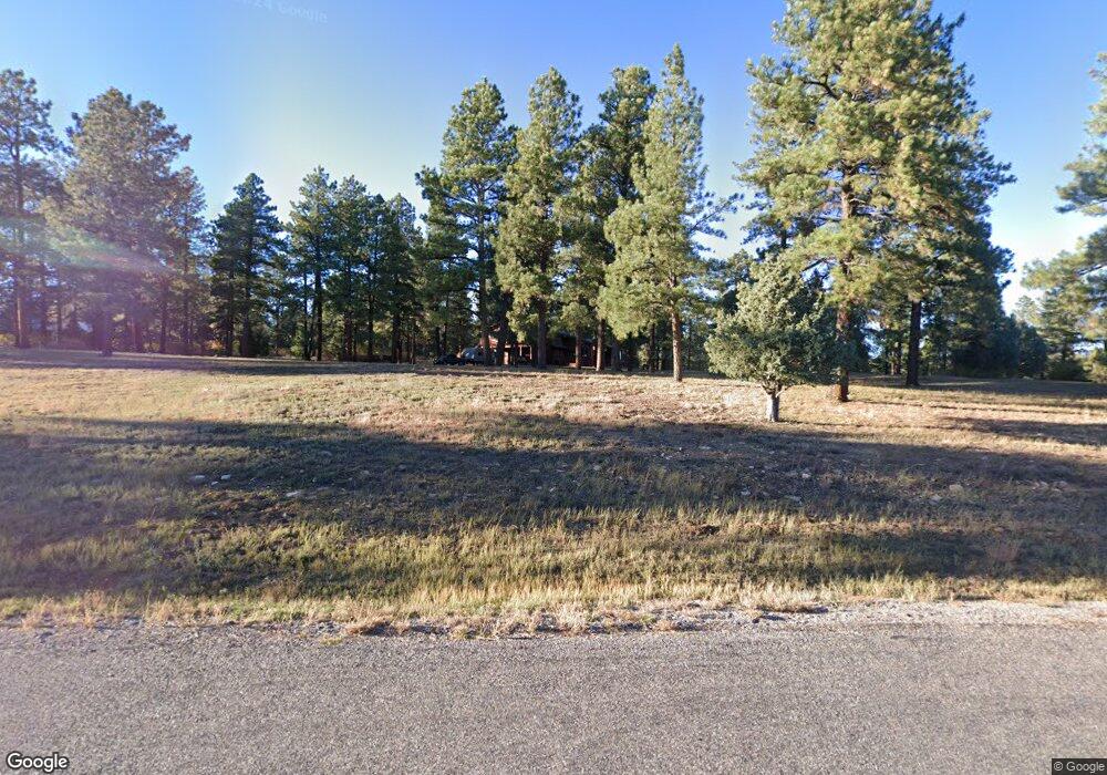
774 Colonial Dr Durango, CO 81303
Estimated Value: $1,069,706 - $1,229,000
4
Beds
4
Baths
3,063
Sq Ft
$378/Sq Ft
Est. Value
About This Home
This home is located at 774 Colonial Dr, Durango, CO 81303 and is currently estimated at $1,156,427, approximately $377 per square foot. 774 Colonial Dr is a home located in La Plata County with nearby schools including Fort Lewis Mesa Elementary School, Escalante Middle School, and Durango High School.
Ownership History
Date
Name
Owned For
Owner Type
Purchase Details
Closed on
Jan 22, 2014
Sold by
Walsh Timothy P and Walsh Linda K
Bought by
The Walsh Trust
Current Estimated Value
Purchase Details
Closed on
Mar 15, 2007
Sold by
Lawrence Jay P and Lawrence Jennilynn E
Bought by
Walsh Timothy P and Walsh Linda K
Home Financials for this Owner
Home Financials are based on the most recent Mortgage that was taken out on this home.
Original Mortgage
$600,000
Interest Rate
6.3%
Mortgage Type
Purchase Money Mortgage
Purchase Details
Closed on
Mar 6, 2006
Sold by
Roeca Arthur F and Roeca Jodie D
Bought by
Lawrence Jay P and Lawrence Jennilynn E
Home Financials for this Owner
Home Financials are based on the most recent Mortgage that was taken out on this home.
Original Mortgage
$520,000
Interest Rate
6.19%
Mortgage Type
New Conventional
Create a Home Valuation Report for This Property
The Home Valuation Report is an in-depth analysis detailing your home's value as well as a comparison with similar homes in the area
Purchase History
| Date | Buyer | Sale Price | Title Company |
|---|---|---|---|
| The Walsh Trust | -- | None Available | |
| Walsh Timothy P | $600,000 | Colorado Land Title Co | |
| Lawrence Jay P | $530,000 | Land Title |
Source: Public Records
Mortgage History
| Date | Status | Borrower | Loan Amount |
|---|---|---|---|
| Previous Owner | Walsh Timothy P | $600,000 | |
| Previous Owner | Lawrence Jay P | $520,000 |
Source: Public Records
Tax History
| Year | Tax Paid | Tax Assessment Tax Assessment Total Assessment is a certain percentage of the fair market value that is determined by local assessors to be the total taxable value of land and additions on the property. | Land | Improvement |
|---|---|---|---|---|
| 2025 | $2,137 | $66,300 | $20,360 | $45,940 |
| 2024 | $1,830 | $50,280 | $11,920 | $38,360 |
| 2023 | $1,830 | $53,470 | $12,670 | $40,800 |
| 2022 | $1,620 | $55,980 | $13,270 | $42,710 |
| 2021 | $1,628 | $46,400 | $11,720 | $34,680 |
| 2020 | $1,452 | $43,240 | $10,680 | $32,560 |
| 2019 | $1,392 | $43,240 | $10,680 | $32,560 |
| 2018 | $1,372 | $42,810 | $13,740 | $29,070 |
| 2017 | $1,615 | $42,810 | $13,740 | $29,070 |
| 2016 | $1,593 | $45,790 | $14,370 | $31,420 |
| 2015 | $1,499 | $45,790 | $14,370 | $31,420 |
| 2014 | -- | $41,900 | $14,200 | $27,700 |
| 2013 | -- | $41,900 | $14,200 | $27,700 |
Source: Public Records
Map
Nearby Homes
- 51 Shenandoah Cir
- 717 Zane Dr
- 152 Peak Trail Dr
- TBD Vaquero Way
- 1963 County Road 125
- 1345 Heritage Rd
- 678 N Lakeside Dr
- 40 Hidden Ln
- 31 Valley View Way
- 59 Holly Hock Trail
- 178 Canyon Creek Trail
- 199 Timber Dr
- 100 Westridge Rd
- 222 Pine Ridge Loop Unit A4
- 256 Browns Lake Rd
- 49 Hunter Ct
- 31 Wood Haven Way
- 100 Cheyenne Dr
- 607 Oak Dr
- 38 Danielle Cir
- 782 Colonial Dr
- 488 Shenandoah Rd
- 303 Shenandoah Rd
- 664 Colonial Dr
- 156 Shenandoah Rd
- 391 Shenandoah Rd
- 0 Colonial Dr
- 0 Shenandoah Terrace
- 454 Shenandoah Rd
- 101 Shenandoah Terrace
- 101 Shenandoah Terrace
- 288 Shenandoah Rd
- 709 Colonial Dr
- 457 Shenandoah Rd
- 61 Shenandoah Rd
- 460 Shenandoah Rd
- 607 Colonial Dr
- 1057 Shenandoah Rd
- 31 Shilo Cir
- 45 Colonial Ln
Your Personal Tour Guide
Ask me questions while you tour the home.