Estimated Value: $145,000 - $180,000
2
Beds
2
Baths
1,092
Sq Ft
$151/Sq Ft
Est. Value
About This Home
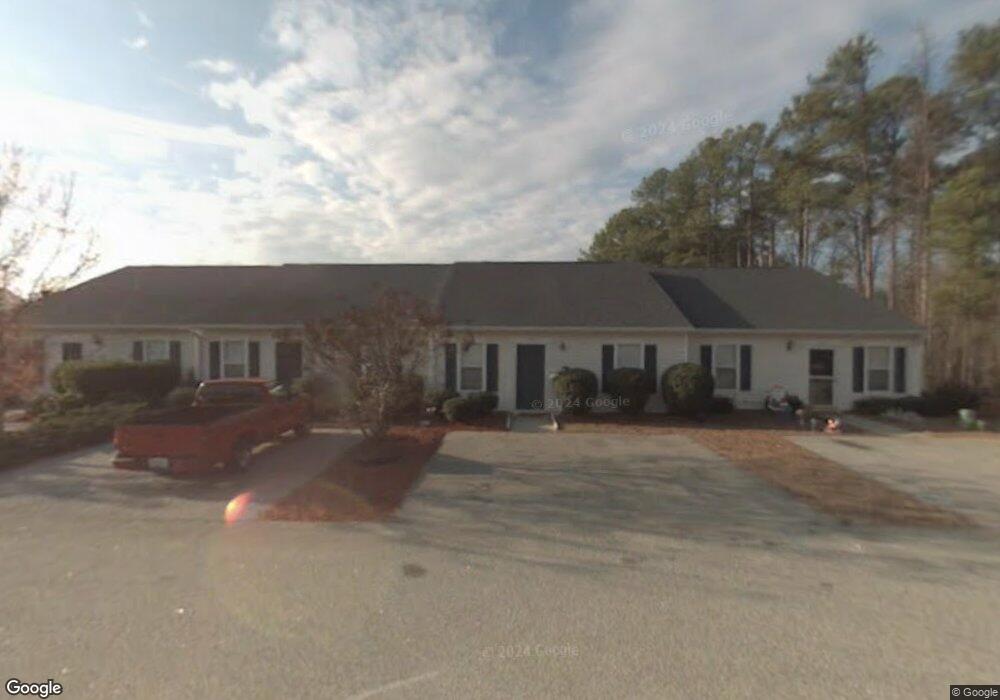
This home is located at 774 Folly Ct, Evans, GA 30809 and is currently estimated at $165,172, approximately $151 per square foot. 774 Folly Ct is a home located in Columbia County with nearby schools including River Ridge Elementary School, Riverside Middle School, and Lakeside High School.
Ownership History
Date
Name
Owned For
Owner Type
Purchase Details
Closed on
May 28, 2014
Sold by
Stoeck Raymond J
Bought by
Peel Robert
Current Estimated Value
Purchase Details
Closed on
Jan 29, 2004
Sold by
Morningstar Ryan and Morningstar Keri B
Bought by
Stoeck Raymond J
Home Financials for this Owner
Home Financials are based on the most recent Mortgage that was taken out on this home.
Original Mortgage
$64,710
Interest Rate
5.77%
Mortgage Type
Purchase Money Mortgage
Create a Home Valuation Report for This Property
The Home Valuation Report is an in-depth analysis detailing your home's value as well as a comparison with similar homes in the area
Home Values in the Area
Average Home Value in this Area
Purchase History
| Date | Buyer | Sale Price | Title Company |
|---|---|---|---|
| Peel Robert | $79,000 | -- | |
| Stoeck Raymond J | $72,000 | -- |
Source: Public Records
Mortgage History
| Date | Status | Borrower | Loan Amount |
|---|---|---|---|
| Previous Owner | Stoeck Raymond J | $64,710 |
Source: Public Records
Tax History Compared to Growth
Tax History
| Year | Tax Paid | Tax Assessment Tax Assessment Total Assessment is a certain percentage of the fair market value that is determined by local assessors to be the total taxable value of land and additions on the property. | Land | Improvement |
|---|---|---|---|---|
| 2025 | $1,596 | $66,967 | $13,004 | $53,963 |
| 2024 | $1,561 | $62,518 | $12,404 | $50,114 |
| 2023 | $1,561 | $58,005 | $12,404 | $45,601 |
| 2022 | $1,300 | $50,069 | $10,304 | $39,765 |
| 2021 | $1,192 | $43,869 | $9,204 | $34,665 |
| 2020 | $947 | $34,116 | $7,004 | $27,112 |
| 2019 | $1,100 | $39,632 | $8,004 | $31,628 |
| 2018 | $933 | $33,527 | $7,204 | $26,323 |
| 2017 | $957 | $34,273 | $7,204 | $27,069 |
| 2016 | $917 | $34,054 | $7,180 | $26,874 |
| 2015 | $831 | $30,804 | $6,380 | $24,424 |
| 2014 | $902 | $33,014 | $6,880 | $26,134 |
Source: Public Records
Map
Nearby Homes
- 854 Sparkleberry Rd
- 4484 Woodberry Ct
- 4489 Woodberry Ct
- 648 River Oaks Ln
- 829 Woodberry Dr
- 4478 Cape Cod Dr
- 726 Whitney Shoals Rd
- 2975 Rosewood Dr
- 787 Springbrook Cir
- 802 Sparkleberry Rd
- 800 Sparkleberry Rd
- 4418 Pierwood Way
- 656 Deerwood Way
- 525 Pheasant Run Dr
- 4560 Mulberry Creek Dr
- 00 N Belair Rd
- 203 N Belair Rd
- 4421 Hereford Farm Rd
- 628 Emerald Crossing
- 4646 La Ct