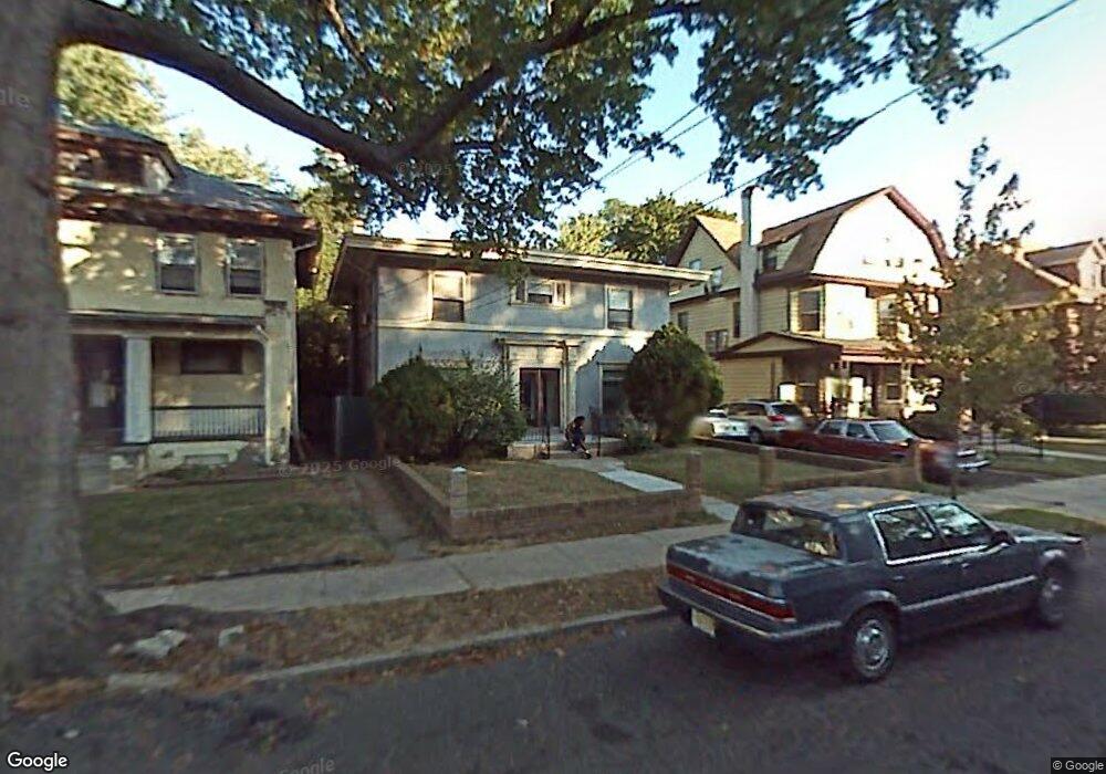
774 S 10th St Unit 776 Newark, NJ 07108
Clinton Hill NeighborhoodEstimated Value: $451,000 - $643,000
--
Bed
--
Bath
3,090
Sq Ft
$166/Sq Ft
Est. Value
About This Home
This home is located at 774 S 10th St Unit 776, Newark, NJ 07108 and is currently estimated at $512,962, approximately $166 per square foot. 774 S 10th St Unit 776 is a home located in Essex County with nearby schools including Hawthorne Avenue Elementary School, Belmont Runyon School, and Louise A. Spencer School.
Ownership History
Date
Name
Owned For
Owner Type
Purchase Details
Closed on
Sep 21, 2016
Sold by
The Estate Of Barbarah J Duhart
Bought by
Redwood Christopher
Current Estimated Value
Purchase Details
Closed on
Jul 26, 1995
Sold by
Puryear Elsie
Bought by
Hart Barbara Du
Home Financials for this Owner
Home Financials are based on the most recent Mortgage that was taken out on this home.
Original Mortgage
$71,000
Interest Rate
7.48%
Create a Home Valuation Report for This Property
The Home Valuation Report is an in-depth analysis detailing your home's value as well as a comparison with similar homes in the area
Home Values in the Area
Average Home Value in this Area
Purchase History
| Date | Buyer | Sale Price | Title Company |
|---|---|---|---|
| Redwood Christopher | $125,000 | Fidelitry National Title | |
| Hart Barbara Du | $75,000 | -- |
Source: Public Records
Mortgage History
| Date | Status | Borrower | Loan Amount |
|---|---|---|---|
| Previous Owner | Hart Barbara Du | $71,000 |
Source: Public Records
Tax History Compared to Growth
Tax History
| Year | Tax Paid | Tax Assessment Tax Assessment Total Assessment is a certain percentage of the fair market value that is determined by local assessors to be the total taxable value of land and additions on the property. | Land | Improvement |
|---|---|---|---|---|
| 2025 | $6,196 | $166,200 | $15,900 | $150,300 |
| 2024 | $6,196 | $166,200 | $15,900 | $150,300 |
| 2022 | $6,209 | $166,200 | $15,900 | $150,300 |
| 2021 | $6,206 | $166,200 | $15,900 | $150,300 |
| 2020 | $6,316 | $166,200 | $15,900 | $150,300 |
| 2019 | $6,251 | $166,200 | $15,900 | $150,300 |
| 2018 | $6,138 | $166,200 | $15,900 | $150,300 |
| 2017 | $5,917 | $166,200 | $15,900 | $150,300 |
| 2016 | $5,717 | $166,200 | $15,900 | $150,300 |
| 2015 | $5,500 | $166,200 | $15,900 | $150,300 |
| 2014 | $5,154 | $166,200 | $15,900 | $150,300 |
Source: Public Records
Map
Nearby Homes
- 742-744 S 10th St
- 742 S 10th St Unit 744
- 57-59 Treacy Ave
- 827 S 11th St Unit 829
- 10 Baldwin Ave
- 2 Baldwin Ave
- 122 Rose Terrace
- 754-756 S 11th St
- 754 St Unit 4
- 824-826 S 13th St
- 16 Ingraham Place Unit 20
- 44-46 Farley Ave
- 811 S 13th St
- 742 S 12th St
- 783 S 13th St
- 783 S 13th St Unit 2
- 689 Clinton Ave
- 725 S 11th St
- 59 Rose Terrace
- 723 S 11th St