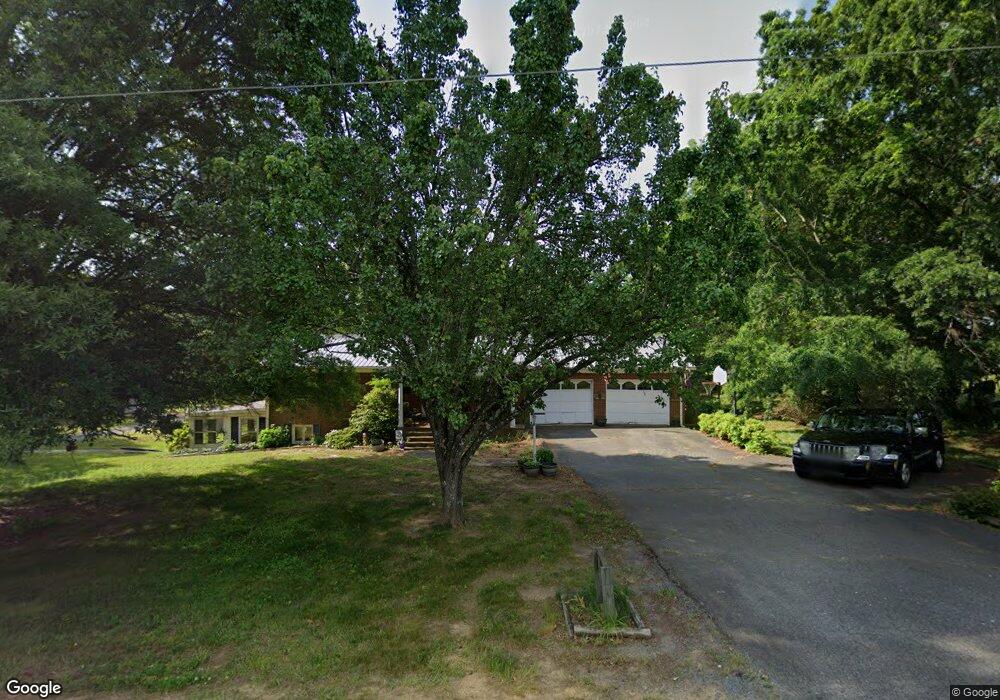
774 Snyder Station Rd Denton, NC 27239
Estimated Value: $315,000 - $380,000
4
Beds
2
Baths
2,588
Sq Ft
$135/Sq Ft
Est. Value
About This Home
This home is located at 774 Snyder Station Rd, Denton, NC 27239 and is currently estimated at $348,889, approximately $134 per square foot. 774 Snyder Station Rd is a home located in Davidson County with nearby schools including Denton Elementary School and South Davidson Middle and High School.
Ownership History
Date
Name
Owned For
Owner Type
Purchase Details
Closed on
Aug 13, 2015
Sold by
Dunn Stephanie T
Bought by
Dunn Andy P
Current Estimated Value
Purchase Details
Closed on
Apr 23, 2007
Sold by
Snider Gary Dale and Snider Rhonda F
Bought by
Dunn Andy P and Dunn Stephanie T
Home Financials for this Owner
Home Financials are based on the most recent Mortgage that was taken out on this home.
Original Mortgage
$170,000
Outstanding Balance
$101,994
Interest Rate
6.1%
Mortgage Type
Unknown
Estimated Equity
$246,895
Create a Home Valuation Report for This Property
The Home Valuation Report is an in-depth analysis detailing your home's value as well as a comparison with similar homes in the area
Purchase History
| Date | Buyer | Sale Price | Title Company |
|---|---|---|---|
| Dunn Andy P | -- | Attorney | |
| Dunn Andy P | $170,000 | None Available |
Source: Public Records
Mortgage History
| Date | Status | Borrower | Loan Amount |
|---|---|---|---|
| Open | Dunn Andy P | $170,000 |
Source: Public Records
Tax History
| Year | Tax Paid | Tax Assessment Tax Assessment Total Assessment is a certain percentage of the fair market value that is determined by local assessors to be the total taxable value of land and additions on the property. | Land | Improvement |
|---|---|---|---|---|
| 2025 | $1,523 | $241,580 | $0 | $0 |
| 2024 | $1,523 | $241,580 | $0 | $0 |
| 2023 | $1,546 | $241,580 | $0 | $0 |
| 2022 | $1,523 | $241,580 | $0 | $0 |
| 2021 | $1,523 | $241,580 | $0 | $0 |
| 2020 | $1,287 | $204,130 | $0 | $0 |
| 2019 | $1,266 | $204,130 | $0 | $0 |
| 2018 | $1,225 | $204,130 | $0 | $0 |
| 2017 | $1,225 | $204,130 | $0 | $0 |
Source: Public Records
Map
Nearby Homes
- 1726 Garner Rd
- 532 N Main St
- 1165 Canaan Church Rd
- 148 Garner St
- 130 Garner St
- 61 Haywood St
- 0 Nc Highway 47
- 108 N Bingham St
- 356 Eastside Dr
- 178 E Salisbury St
- 398 E Salisbury St
- 434 E Salisbury St
- 17980 S Nc Highway 109
- 952 Flat Swamp Rd
- 166 S Main St
- 354 Anderson St
- 165 Brown St
- 320 Forest Park Dr
- 141 W Noell Ave
- 149 Seeley Dr
- 849 Snyder Station Rd
- 642 Snyder Station Rd
- 293 Garner Rd
- 765 Snyder Station Rd
- 931 Snyder Station Rd
- 334 Garner Rd
- 1028 Garner Dr
- 1124 Garner Dr
- 1176 Garner Dr
- 1031 Snyder Station Rd
- 1240 Garner Dr
- 472 Garner Dr
- 501 Garner Dr
- 1080 Snyder Station Rd
- 1374 Garner Dr
- 1095 Snyder Station Rd
- 1071 Snyder Station Rd
- 571 Garner Rd
- 548 Garner Rd
- 1180 Snyder Station Rd
Your Personal Tour Guide
Ask me questions while you tour the home.