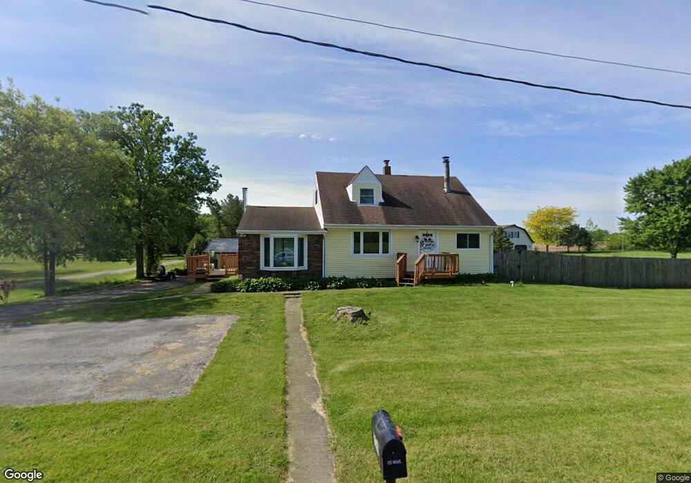
774 W 900 S Hebron, IN 46341
Porter County NeighborhoodEstimated Value: $324,000 - $334,000
3
Beds
2
Baths
2,494
Sq Ft
$132/Sq Ft
Est. Value
About This Home
This home is located at 774 W 900 S, Hebron, IN 46341 and is currently estimated at $329,096, approximately $131 per square foot. 774 W 900 S is a home located in Porter County with nearby schools including Hebron Elementary School, Hebron Middle School, and Hebron High School.
Ownership History
Date
Name
Owned For
Owner Type
Purchase Details
Closed on
Mar 19, 2008
Sold by
Jelinek James
Bought by
Jelinek James and Jelinek Nancy
Current Estimated Value
Home Financials for this Owner
Home Financials are based on the most recent Mortgage that was taken out on this home.
Original Mortgage
$156,000
Outstanding Balance
$95,204
Interest Rate
5.79%
Mortgage Type
New Conventional
Estimated Equity
$233,892
Purchase Details
Closed on
Sep 12, 2005
Sold by
Marks Christopher A and Marks Diane W
Bought by
Jelinek James
Home Financials for this Owner
Home Financials are based on the most recent Mortgage that was taken out on this home.
Original Mortgage
$140,000
Interest Rate
9.12%
Mortgage Type
New Conventional
Create a Home Valuation Report for This Property
The Home Valuation Report is an in-depth analysis detailing your home's value as well as a comparison with similar homes in the area
Home Values in the Area
Average Home Value in this Area
Purchase History
| Date | Buyer | Sale Price | Title Company |
|---|---|---|---|
| Jelinek James | -- | Residential Title | |
| Jelinek James | -- | Ticor Title Ins |
Source: Public Records
Mortgage History
| Date | Status | Borrower | Loan Amount |
|---|---|---|---|
| Open | Jelinek James | $156,000 | |
| Previous Owner | Jelinek James | $140,000 |
Source: Public Records
Tax History
| Year | Tax Paid | Tax Assessment Tax Assessment Total Assessment is a certain percentage of the fair market value that is determined by local assessors to be the total taxable value of land and additions on the property. | Land | Improvement |
|---|---|---|---|---|
| 2025 | $2,518 | $276,000 | $33,300 | $242,700 |
| 2024 | $2,507 | $256,500 | $32,000 | $224,500 |
| 2023 | $2,698 | $249,600 | $30,500 | $219,100 |
| 2022 | $2,558 | $242,100 | $30,500 | $211,600 |
| 2021 | $2,515 | $207,200 | $30,500 | $176,700 |
| 2020 | $2,427 | $195,100 | $28,900 | $166,200 |
| 2019 | $1,979 | $179,000 | $28,900 | $150,100 |
| 2018 | $1,853 | $162,000 | $28,900 | $133,100 |
| 2017 | $1,823 | $162,500 | $28,900 | $133,600 |
| 2016 | $1,906 | $170,200 | $33,500 | $136,700 |
| 2014 | $2,017 | $173,000 | $32,200 | $140,800 |
| 2013 | -- | $174,100 | $34,500 | $139,600 |
Source: Public Records
Map
Nearby Homes
- 772 W 900 S
- 17826 S County Line Rd
- 409 S Jefferson St
- 403 S Washington St
- 16335 County Line Rd
- 14910 County Line Rd
- 201 N Quincy St
- 203 N Quincy St
- 709 Beverly Dr
- 587 Osburn St
- 591 Osburn St
- 589 Osburn St
- 440 Fry St
- 307 E Casey St
- 605 Petry St
- 443 Bricker St
- 445 Bricker St
- 0 W Wilson St
- 805 W Wilson St
- 118 Cherry Ct
Your Personal Tour Guide
Ask me questions while you tour the home.