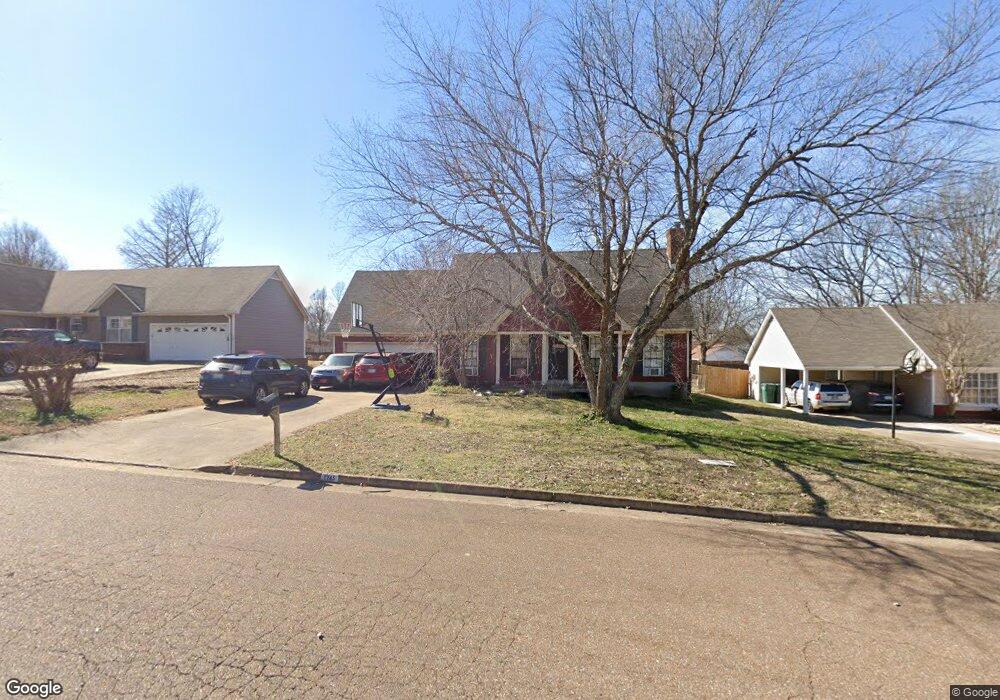
7745 Southfield Rd Southaven, MS 38671
Estimated Value: $223,000 - $268,000
4
Beds
3
Baths
1,938
Sq Ft
$128/Sq Ft
Est. Value
About This Home
This home is located at 7745 Southfield Rd, Southaven, MS 38671 and is currently estimated at $247,902, approximately $127 per square foot. 7745 Southfield Rd is a home located in DeSoto County with nearby schools including Greenbrook Elementary School, Southaven Intermediate School, and Southaven Middle School.
Ownership History
Date
Name
Owned For
Owner Type
Purchase Details
Closed on
Oct 16, 2009
Sold by
House Arlen and House Barbara
Bought by
Underwood Timothy C and Underwood Jana L
Current Estimated Value
Home Financials for this Owner
Home Financials are based on the most recent Mortgage that was taken out on this home.
Original Mortgage
$117,826
Outstanding Balance
$76,821
Interest Rate
5.05%
Mortgage Type
FHA
Estimated Equity
$171,081
Create a Home Valuation Report for This Property
The Home Valuation Report is an in-depth analysis detailing your home's value as well as a comparison with similar homes in the area
Home Values in the Area
Average Home Value in this Area
Purchase History
| Date | Buyer | Sale Price | Title Company |
|---|---|---|---|
| Underwood Timothy C | -- | First National Financial Tit |
Source: Public Records
Mortgage History
| Date | Status | Borrower | Loan Amount |
|---|---|---|---|
| Open | Underwood Timothy C | $117,826 |
Source: Public Records
Tax History Compared to Growth
Tax History
| Year | Tax Paid | Tax Assessment Tax Assessment Total Assessment is a certain percentage of the fair market value that is determined by local assessors to be the total taxable value of land and additions on the property. | Land | Improvement |
|---|---|---|---|---|
| 2024 | $1,355 | $11,378 | $2,500 | $8,878 |
| 2023 | $1,355 | $11,378 | $0 | $0 |
| 2022 | $1,320 | $11,378 | $2,500 | $8,878 |
| 2021 | $1,320 | $11,378 | $2,500 | $8,878 |
| 2020 | $1,213 | $10,619 | $2,500 | $8,119 |
| 2019 | $1,213 | $10,619 | $2,500 | $8,119 |
| 2017 | $1,176 | $18,112 | $10,306 | $7,806 |
| 2016 | $1,176 | $9,826 | $2,500 | $7,326 |
| 2015 | $1,400 | $17,152 | $9,826 | $7,326 |
| 2014 | $1,107 | $9,826 | $0 | $0 |
| 2013 | $1,107 | $9,826 | $0 | $0 |
Source: Public Records
Map
Nearby Homes
- 792 Birchfield Place
- 1011 Lexington Loop
- 488 White Ash Dr
- 1019 Lexington Loop
- 1025 Lexington Loop
- 7593 Millbridge Dr
- 413 Country Garden Dr
- 1164 Chestnut Dr
- 1177 Chestnut Dr
- 754 Valley Springs Dr
- 351 Country Garden Dr
- 8091 Fitler Cove
- 266 Country Garden Dr
- 274 Country Garden Dr
- 7934 Sycamore Dr
- 343 Flower Garden Dr
- 335 Flower Garden Dr
- 327 Flower Garden Dr
- 7629 Iris Dr
- 7745 Callie Dr
- 7777 Southfield Rd
- 7735 Southfield Rd
- 7762 Walnut Hill Point
- 7762 Walnut Hill Place
- 7783 Southfield Rd
- 7748 Walnut Hill Point
- 7748 Walnut Hill Point
- 838 Birchfield Place
- 7742 Southfield Rd
- 820 Birchfield Place
- 870 Waterford Place
- 7772 Walnut Hill Point
- 870 Birchfield Place
- 806 Birchfield Place
- 839 Stowewood Dr
- 819 Stowewood Dr
- 889 Waterford Place
- 7761 Walnut Hill Point
- 888 Waterford Place
- 871 Stowewood Place