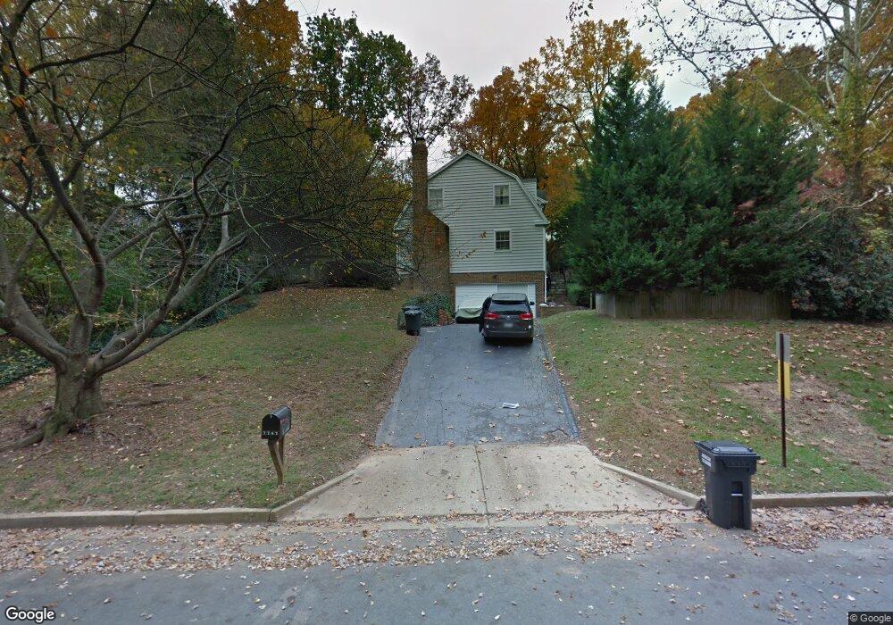
7747 Bridle Path Ln McLean, VA 22102
Estimated Value: $2,165,255 - $2,694,000
8
Beds
8
Baths
6,081
Sq Ft
$403/Sq Ft
Est. Value
About This Home
This home is located at 7747 Bridle Path Ln, McLean, VA 22102 and is currently estimated at $2,448,814, approximately $402 per square foot. 7747 Bridle Path Ln is a home located in Fairfax County with nearby schools including Spring Hill Elementary School, Cooper Middle School, and Langley High School.
Ownership History
Date
Name
Owned For
Owner Type
Purchase Details
Closed on
Apr 14, 2016
Sold by
Au Kin Sing and Au Florence H
Bought by
Au Florence H
Current Estimated Value
Purchase Details
Closed on
Mar 31, 1999
Sold by
Richardson Paul D
Bought by
An Kin-Sing
Home Financials for this Owner
Home Financials are based on the most recent Mortgage that was taken out on this home.
Original Mortgage
$464,000
Interest Rate
6.78%
Mortgage Type
Purchase Money Mortgage
Create a Home Valuation Report for This Property
The Home Valuation Report is an in-depth analysis detailing your home's value as well as a comparison with similar homes in the area
Home Values in the Area
Average Home Value in this Area
Purchase History
| Date | Buyer | Sale Price | Title Company |
|---|---|---|---|
| Au Florence H | -- | None Available | |
| An Kin-Sing | $580,000 | -- |
Source: Public Records
Mortgage History
| Date | Status | Borrower | Loan Amount |
|---|---|---|---|
| Previous Owner | An Kin-Sing | $464,000 |
Source: Public Records
Tax History
| Year | Tax Paid | Tax Assessment Tax Assessment Total Assessment is a certain percentage of the fair market value that is determined by local assessors to be the total taxable value of land and additions on the property. | Land | Improvement |
|---|---|---|---|---|
| 2025 | $19,551 | $1,980,890 | $566,000 | $1,414,890 |
| 2024 | $19,551 | $1,654,800 | $566,000 | $1,088,800 |
| 2023 | $15,472 | $1,343,600 | $560,000 | $783,600 |
| 2022 | $14,055 | $1,204,850 | $560,000 | $644,850 |
| 2021 | $12,889 | $1,077,230 | $491,000 | $586,230 |
| 2020 | $11,417 | $946,250 | $491,000 | $455,250 |
| 2019 | $11,309 | $937,320 | $491,000 | $446,320 |
| 2018 | $10,779 | $937,320 | $491,000 | $446,320 |
| 2017 | $11,098 | $937,320 | $491,000 | $446,320 |
| 2016 | $11,074 | $937,320 | $491,000 | $446,320 |
Source: Public Records
Map
Nearby Homes
- 1106 Mill Ridge
- 8011 Lewinsville Rd
- 1109 Old Cedar Rd
- 1314 Macbeth St
- 8023 Lewinsville Rd
- 1400 Gower Ct
- 7925 Falstaff Rd
- 1003 Gelston Cir
- 7400 Churchill Rd
- 1112 Balls Hill Rd
- 1580 Spring Gate Dr Unit 4406
- 1580 Spring Gate Dr Unit 4314
- 1530 Spring Gate Dr Unit 9317
- 1530 Spring Gate Dr Unit 9308
- 1581 Spring Gate Dr Unit 5403
- 7351 Nicole Marie Ct
- 1052 Balls Hill Rd
- 1501 Lincoln Way Unit 101
- 1600 Spring Gate Dr Unit 2204
- 1600 Spring Gate Dr Unit 2202
- 7745 Bridle Path Ln
- 1201 Swinks Mill Rd
- 7743 Bridle Path Ln
- 1215 Old Stable Rd
- 1175 Swinks Mill Rd
- 1217 Old Stable Rd
- 7746 Bridle Path Ln
- 1205 Swinks Mill Rd
- 7744 Bridle Path Ln
- 1219 Old Stable Rd
- 7741 Bridle Path Ln
- 1213 Old Stable Rd
- 7742 Bridle Path Ln
- 7801 Foxhound Rd
- 7740 Bridle Path Ln
- 7739 Bridle Path Ln
- 1221 Old Stable Rd
- 7803 Foxhound Rd
- 1225 Old Stable Rd
- 1211 Old Stable Rd
Your Personal Tour Guide
Ask me questions while you tour the home.