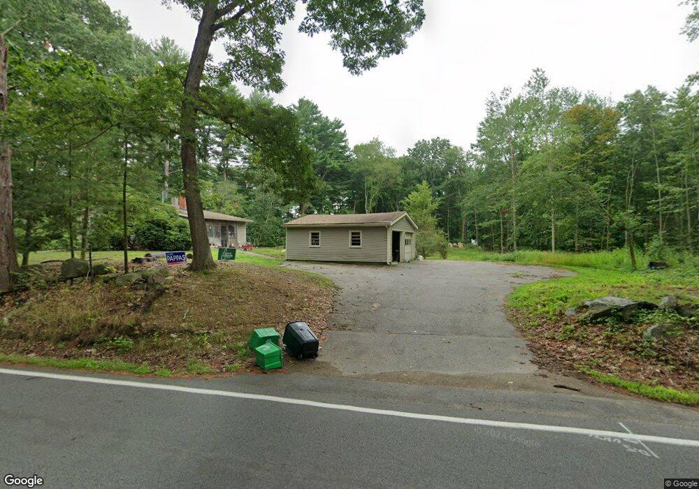
775 Banfield Rd Portsmouth, NH 03801
Estimated Value: $539,416 - $576,000
2
Beds
1
Bath
805
Sq Ft
$688/Sq Ft
Est. Value
About This Home
This home is located at 775 Banfield Rd, Portsmouth, NH 03801 and is currently estimated at $554,104, approximately $688 per square foot. 775 Banfield Rd is a home located in Rockingham County with nearby schools including Mary C. Dondero Elementary School, Portsmouth Middle School, and Portsmouth High School.
Ownership History
Date
Name
Owned For
Owner Type
Purchase Details
Closed on
Mar 16, 1999
Sold by
360 Constitution Ave L
Bought by
Patnaude George W and Patnaude Cheryl A
Current Estimated Value
Home Financials for this Owner
Home Financials are based on the most recent Mortgage that was taken out on this home.
Original Mortgage
$80,750
Interest Rate
6.73%
Purchase Details
Closed on
Nov 17, 1998
Sold by
Bfi Waste Systems Of N
Bought by
360 Constitution Ave L
Create a Home Valuation Report for This Property
The Home Valuation Report is an in-depth analysis detailing your home's value as well as a comparison with similar homes in the area
Home Values in the Area
Average Home Value in this Area
Purchase History
| Date | Buyer | Sale Price | Title Company |
|---|---|---|---|
| Patnaude George W | $85,000 | -- | |
| 360 Constitution Ave L | $550,000 | -- |
Source: Public Records
Mortgage History
| Date | Status | Borrower | Loan Amount |
|---|---|---|---|
| Open | 360 Constitution Ave L | $158,494 | |
| Closed | 360 Constitution Ave L | $175,000 | |
| Closed | 360 Constitution Ave L | $80,750 |
Source: Public Records
Tax History Compared to Growth
Tax History
| Year | Tax Paid | Tax Assessment Tax Assessment Total Assessment is a certain percentage of the fair market value that is determined by local assessors to be the total taxable value of land and additions on the property. | Land | Improvement |
|---|---|---|---|---|
| 2024 | $5,061 | $452,700 | $251,200 | $201,500 |
| 2023 | $4,965 | $307,800 | $176,300 | $131,500 |
| 2022 | $4,679 | $307,800 | $176,300 | $131,500 |
| 2021 | $4,626 | $307,800 | $176,300 | $131,500 |
| 2020 | $4,525 | $307,800 | $176,300 | $131,500 |
| 2019 | $4,574 | $307,800 | $176,300 | $131,500 |
| 2018 | $4,283 | $270,400 | $151,800 | $118,600 |
| 2017 | $3,899 | $253,500 | $134,900 | $118,600 |
| 2016 | $3,825 | $224,500 | $123,100 | $101,400 |
| 2015 | $3,769 | $224,500 | $123,100 | $101,400 |
| 2014 | $3,694 | $204,100 | $118,800 | $85,300 |
| 2013 | $3,655 | $204,100 | $118,800 | $85,300 |
| 2012 | $3,582 | $204,100 | $118,800 | $85,300 |
Source: Public Records
Map
Nearby Homes
- 80 Constitution Ave Unit 225
- 80 Constitution Ave Unit 231
- 80 Constitution Ave Unit 321
- 80 Constitution Ave Unit 411
- 80 Constitution Ave Unit 429
- 80 Constitution Ave Unit 222
- Moffat Plan at Sage Portsmouth
- 80 Constitution Ave Unit 211
- Wadsworth Plan at Sage Portsmouth
- Franklin Plan at Sage Portsmouth
- 80 Constitution Ave Unit 328
- 80 Constitution Ave Unit 306
- 80 Constitution Ave Unit 323
- Langdon Plan at Sage Portsmouth
- 80 Constitution Ave Unit 325
- 380 Ocean Rd Unit 9
- 540 Ocean Rd
- 445 Ocean Rd Unit 4
- 163 Ocean Rd
- 2075 Lafayette Rd Unit 11
- 755 Banfield Rd Unit 201
- 755 Banfield Rd Unit 102
- 755 Banfield Rd Unit 101
- 755 Banfield Rd
- 755 Banfield Rd Unit 103
- 520 Banfield Rd
- 820 Banfield Rd
- 0 Banfield Rd Unit 18 4881306
- 0 Banfield Rd Unit 17 4881305
- 0 Banfield Rd Unit 16 4881304
- 0 Banfield Rd Unit 14 4881300
- 0 Banfield Rd Unit 13 4881301
- 0 Banfield Rd Unit 15 4881303
- 0 Banfield Rd Unit 7 4855623
- 0 Banfield Rd Unit 8 4855438
- 0 Banfield Rd Unit 6 4854999
- 0 Banfield Rd Unit 9 4853316
- 0 Banfield Rd Unit 10 4853313
- 0 Banfield Rd Unit 11 4853311
- 0 Banfield Rd Unit 12 4853310