775 Bernhardt Rd Salisbury, NC 28147
Estimated Value: $348,000 - $476,000
4
Beds
2
Baths
2,053
Sq Ft
$199/Sq Ft
Est. Value
About This Home
This home is located at 775 Bernhardt Rd, Salisbury, NC 28147 and is currently estimated at $409,124, approximately $199 per square foot. 775 Bernhardt Rd is a home located in Rowan County with nearby schools including Knollwood Elementary School, Southeast Middle School, and Jesse C Carson High School.
Ownership History
Date
Name
Owned For
Owner Type
Purchase Details
Closed on
May 20, 2010
Sold by
Jndy Properties Llc
Bought by
Combs Adam J and Combs Nichole
Current Estimated Value
Home Financials for this Owner
Home Financials are based on the most recent Mortgage that was taken out on this home.
Original Mortgage
$174,540
Outstanding Balance
$118,127
Interest Rate
5.25%
Mortgage Type
FHA
Estimated Equity
$290,997
Purchase Details
Closed on
Apr 15, 2009
Sold by
Bohacek Jeffrey
Bought by
Jndy Properties Llc
Create a Home Valuation Report for This Property
The Home Valuation Report is an in-depth analysis detailing your home's value as well as a comparison with similar homes in the area
Purchase History
| Date | Buyer | Sale Price | Title Company |
|---|---|---|---|
| Combs Adam J | $177,000 | None Available | |
| Jndy Properties Llc | $135,000 | None Available |
Source: Public Records
Mortgage History
| Date | Status | Borrower | Loan Amount |
|---|---|---|---|
| Open | Combs Adam J | $174,540 |
Source: Public Records
Tax History
| Year | Tax Paid | Tax Assessment Tax Assessment Total Assessment is a certain percentage of the fair market value that is determined by local assessors to be the total taxable value of land and additions on the property. | Land | Improvement |
|---|---|---|---|---|
| 2025 | $1,904 | $281,051 | $74,358 | $206,693 |
| 2024 | $1,904 | $281,051 | $74,358 | $206,693 |
| 2023 | $1,904 | $281,051 | $74,358 | $206,693 |
| 2022 | $1,533 | $203,005 | $66,358 | $136,647 |
| 2021 | $1,517 | $203,005 | $66,358 | $136,647 |
| 2020 | $1,517 | $203,005 | $66,358 | $136,647 |
| 2019 | $1,517 | $203,005 | $66,358 | $136,647 |
| 2018 | $1,337 | $180,348 | $66,357 | $113,991 |
| 2017 | $1,337 | $180,348 | $66,357 | $113,991 |
| 2016 | $1,337 | $180,348 | $66,357 | $113,991 |
| 2015 | $1,353 | $180,348 | $66,357 | $113,991 |
| 2014 | $1,325 | $185,328 | $66,357 | $118,971 |
Source: Public Records
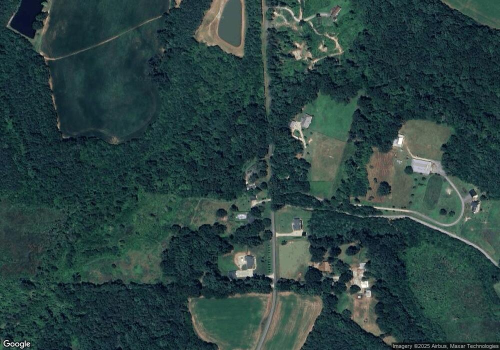
Map
Nearby Homes
- 397 Bramblewood Dr Unit 50
- 130 Lois Ln
- 328 Bramblewood Dr
- 228 Hollybrook Ct
- 112 Cedar Dr
- 114 Cedar Dr
- 215 Autumn Chapel Dr
- 206 Cedar Dr
- 116 Stoneybrook Rd
- 201 Bayberry Dr
- 140 Overbrook Rd
- 143 Maple Ridge Cir
- 735 Grace Church Rd
- 4115 Miller Rd
- 1300 Briarwood Terrace
- 1317 Rachel Ln
- 462 Cress Loop Rd
- 540 Roger Dr
- 2885 Wright Ave
- 701 Airport Rd
- 725 Bernhardt Rd
- 700 Bernhardt Rd
- 780 Bernhardt Rd
- 695 Bernhardt Rd
- 645 Bernhardt Rd
- 650 Bernhardt Rd
- 740 Bernhardt Rd
- 210 Venture Dr
- 230 Venture Dr
- 230 Venture Dr Unit 14
- 129 Venture Dr
- 225 Venture Dr
- 425 Bernhardt Rd
- 475 Venture Ct
- 415 Bernhardt Rd
- 460 Venture Ct Unit 23
- 710 Bernhardt Rd
- 375 Bernhardt Rd
- 450 Venture Ct
- 365 Bernhardt Rd
Your Personal Tour Guide
Ask me questions while you tour the home.