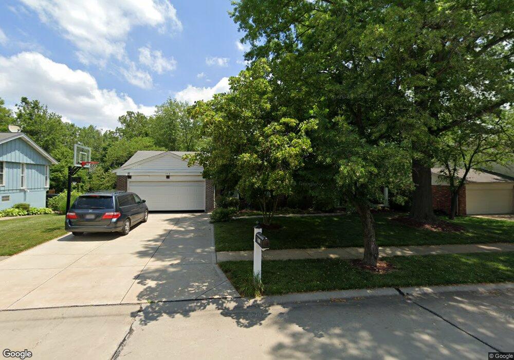
775 Berquist Dr Ballwin, MO 63011
Estimated Value: $409,988 - $536,000
4
Beds
3
Baths
2,116
Sq Ft
$224/Sq Ft
Est. Value
About This Home
This home is located at 775 Berquist Dr, Ballwin, MO 63011 and is currently estimated at $473,747, approximately $223 per square foot. 775 Berquist Dr is a home located in St. Louis County with nearby schools including Pierremont Elementary School, Parkway West Middle School, and Parkway West High School.
Ownership History
Date
Name
Owned For
Owner Type
Purchase Details
Closed on
Nov 27, 2024
Sold by
Snell Christopher and Snell Lori
Bought by
Christopher D Snell And Lori S Snell Trust and Snell
Current Estimated Value
Purchase Details
Closed on
Apr 5, 2007
Sold by
Ranson J Shannon and Ranson Barb
Bought by
Snell Christopher and Snell Lori
Home Financials for this Owner
Home Financials are based on the most recent Mortgage that was taken out on this home.
Original Mortgage
$200,000
Interest Rate
6.24%
Mortgage Type
Purchase Money Mortgage
Purchase Details
Closed on
May 28, 2004
Sold by
Feldmeir Maureen M
Bought by
Ranson J Shannon and Ranson Barb
Home Financials for this Owner
Home Financials are based on the most recent Mortgage that was taken out on this home.
Original Mortgage
$184,000
Interest Rate
5.25%
Mortgage Type
New Conventional
Create a Home Valuation Report for This Property
The Home Valuation Report is an in-depth analysis detailing your home's value as well as a comparison with similar homes in the area
Home Values in the Area
Average Home Value in this Area
Purchase History
| Date | Buyer | Sale Price | Title Company |
|---|---|---|---|
| Christopher D Snell And Lori S Snell Trust | -- | None Listed On Document | |
| Snell Christopher | $298,000 | Ort | |
| Ranson J Shannon | -- | -- |
Source: Public Records
Mortgage History
| Date | Status | Borrower | Loan Amount |
|---|---|---|---|
| Previous Owner | Snell Christopher | $200,000 | |
| Previous Owner | Ranson J Shannon | $184,000 | |
| Closed | Ranson J Shannon | $46,000 |
Source: Public Records
Tax History
| Year | Tax Paid | Tax Assessment Tax Assessment Total Assessment is a certain percentage of the fair market value that is determined by local assessors to be the total taxable value of land and additions on the property. | Land | Improvement |
|---|---|---|---|---|
| 2025 | $4,371 | $76,270 | $38,290 | $37,980 |
| 2024 | $4,371 | $67,280 | $20,430 | $46,850 |
| 2023 | $4,410 | $67,280 | $20,430 | $46,850 |
| 2022 | $3,887 | $54,290 | $20,430 | $33,860 |
| 2021 | $3,863 | $54,290 | $20,430 | $33,860 |
| 2020 | $3,637 | $48,840 | $17,010 | $31,830 |
| 2019 | $3,594 | $48,840 | $17,010 | $31,830 |
| 2018 | $3,682 | $46,300 | $15,310 | $30,990 |
| 2017 | $3,640 | $46,300 | $15,310 | $30,990 |
| 2016 | $3,676 | $44,350 | $11,060 | $33,290 |
Source: Public Records
Map
Nearby Homes
- 709 Turtle Cove
- 609 Auber Dr
- 902 Rusticmanor Cir
- 1041 Terracewood Cir
- 1041 Kennedy Ln
- 1042 Parkwatch Dr
- 1022 Julianna Dr
- 828 Windmill Dr
- 718 Chancellor Heights Dr
- 909 Dutch Mill Dr
- 900 Weidman Rd
- 13354 Thornhill Dr
- 1004 Weidman Rd
- 1359 S Mason Rd
- 0 Unknown Unit MIS25060078
- 0 Unknown Unit MIS25060104
- 0 Unknown Unit MIS25060076
- 0 Unknown Unit MIS25060105
- 0 Unknown Unit MIS25060100
- 0 Unknown Unit MIS25060079
- 779 Berquist Dr
- 769 Berquist Dr
- 763 Berquist Dr
- 785 Berquist Dr
- 776 Berquist Dr
- 768 Berquist Dr
- 784 Berquist Dr
- 757 Berquist Dr
- 791 Berquist Dr
- 796 Berquist Dr
- 1201 Brushwood Cir
- 1204 Brushwood Cir
- 1295 Pinrun Dr
- 753 Berquist Dr
- 1203 Brushwood Cir
- 805 Justerini Dr
- 841 Bergquist Dr
- 809 Justerini Dr
- 1376 Justerini Dr
- 752 Berquist Dr
Your Personal Tour Guide
Ask me questions while you tour the home.