775 Collinstown Rd Appleton, ME 04862
Estimated Value: $311,234 - $468,000
Studio
--
Bath
--
Sq Ft
43,560
Sq Ft Lot
About This Home
This home is located at 775 Collinstown Rd, Appleton, ME 04862 and is currently estimated at $373,559. 775 Collinstown Rd is a home located in Knox County with nearby schools including Appleton Village School, Camden Hills Regional High School, and South Liberty Baptist Academy.
Ownership History
Date
Name
Owned For
Owner Type
Purchase Details
Closed on
Jun 7, 2018
Sold by
Gibson Linda J
Bought by
Hupper Elijah W and Gibson Amberlie R
Current Estimated Value
Home Financials for this Owner
Home Financials are based on the most recent Mortgage that was taken out on this home.
Original Mortgage
$130,000
Interest Rate
4%
Mortgage Type
Unknown
Create a Home Valuation Report for This Property
The Home Valuation Report is an in-depth analysis detailing your home's value as well as a comparison with similar homes in the area
Home Values in the Area
Average Home Value in this Area
Purchase History
| Date | Buyer | Sale Price | Title Company |
|---|---|---|---|
| Hupper Elijah W | -- | -- |
Source: Public Records
Mortgage History
| Date | Status | Borrower | Loan Amount |
|---|---|---|---|
| Closed | Hupper Elijah W | $130,000 |
Source: Public Records
Tax History
| Year | Tax Paid | Tax Assessment Tax Assessment Total Assessment is a certain percentage of the fair market value that is determined by local assessors to be the total taxable value of land and additions on the property. | Land | Improvement |
|---|---|---|---|---|
| 2025 | $5,268 | $194,400 | $38,000 | $156,400 |
| 2024 | $4,714 | $194,400 | $38,000 | $156,400 |
| 2023 | $4,180 | $194,400 | $38,000 | $156,400 |
| 2022 | $4,180 | $194,400 | $38,000 | $156,400 |
| 2021 | $4,432 | $194,400 | $38,000 | $156,400 |
| 2020 | $78 | $194,400 | $38,000 | $156,400 |
| 2019 | $5,732 | $194,400 | $38,000 | $156,400 |
| 2018 | $4,432 | $194,400 | $38,000 | $156,400 |
| 2017 | $74 | $194,400 | $38,000 | $156,400 |
| 2016 | $3,975 | $194,400 | $38,000 | $156,400 |
| 2015 | $3,799 | $195,310 | $38,000 | $157,310 |
| 2014 | $3,320 | $195,310 | $38,000 | $157,310 |
| 2013 | $3,252 | $195,310 | $38,000 | $157,310 |
Source: Public Records
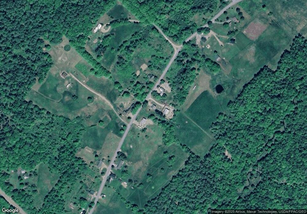
Map
Nearby Homes
- 1213 Collinstown Rd
- 44 Dorman Rd
- 2738 Burkettville Rd
- 1583 Appleton Ridge Rd
- 453 Union Rd
- 0 Landlocked Unit 1650479
- 20 Searsmont Rd
- 79 Peabody Rd
- Lot #26 Sennebec Rd
- 2224&2226 Appleton Ridge Rd
- 325 Calderwood Rd
- Map2 Lot21 Howes Cove Rd
- 149 Youngs Hill Rd
- 2460 Appleton Ridge Rd
- M7L31 Nelson Ridge Rd N
- M7L22 Nelson Ridge Rd N
- M7L22,L31 Nelson Ridge Rd N
- M7l31nelson Ridge Rd N
- Lot 12 Stickney Hill Rd
- Lot 13 Stickney Hill Rd
- 759 Collinstown Rd
- 789 Collinstown Rd
- 760 Collinstown Rd
- 709 Collinstown Rd
- 702 Collinstown Rd
- 5 Log Cabin Ln
- 693 Collinstown Rd
- 40 Miller Cemetery Rd
- 20 Log Cabin Ln
- 677 Collinstown Rd
- 883 Collinstown Rd
- 45 Miller Cemetery Rd
- 654 Collinstown Rd
- 890 Collinstown Rd
- 000677 Collinstown Rd
- 117 Brookside Ln
- 1855 Burkettville Rd
- 628 Collinstown Rd
- 1773 Burkettville Rd
- 1753 Burkettville Rd
Your Personal Tour Guide
Ask me questions while you tour the home.