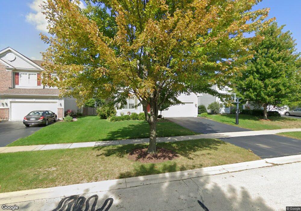
775 Glenside Cir Bolingbrook, IL 60490
Sunset Park-Old Plank NeighborhoodEstimated Value: $478,000 - $479,735
4
Beds
3
Baths
2,365
Sq Ft
$203/Sq Ft
Est. Value
About This Home
This home is located at 775 Glenside Cir, Bolingbrook, IL 60490 and is currently estimated at $478,934, approximately $202 per square foot. 775 Glenside Cir is a home located in Will County with nearby schools including Liberty Elementary School, John F Kennedy Middle School, and Plainfield East High School.
Ownership History
Date
Name
Owned For
Owner Type
Purchase Details
Closed on
Jun 19, 2001
Sold by
The Ryland Group Inc
Bought by
Osho Moses B
Current Estimated Value
Home Financials for this Owner
Home Financials are based on the most recent Mortgage that was taken out on this home.
Original Mortgage
$208,334
Interest Rate
7.23%
Mortgage Type
FHA
Purchase Details
Closed on
Jun 18, 2001
Sold by
The Ryland Group Inc
Bought by
Hurtado Armando and Hurtado Mary Ellen
Home Financials for this Owner
Home Financials are based on the most recent Mortgage that was taken out on this home.
Original Mortgage
$208,334
Interest Rate
7.23%
Mortgage Type
FHA
Create a Home Valuation Report for This Property
The Home Valuation Report is an in-depth analysis detailing your home's value as well as a comparison with similar homes in the area
Home Values in the Area
Average Home Value in this Area
Purchase History
We collect this data history from publicly available records. To have your information removed, we recommend requesting removal directly through your county’s website.
| Date | Buyer | Sale Price | Title Company |
|---|---|---|---|
| Osho Moses B | $212,000 | Ticor Title | |
| Hurtado Armando | $237,000 | Ticor Title |
Source: Public Records
Mortgage History
We collect this data history from publicly available records. To have your information removed, we recommend requesting removal directly through your county’s website.
| Date | Status | Borrower | Loan Amount |
|---|---|---|---|
| Previous Owner | Osho Moses B | $208,334 | |
| Previous Owner | Hurtado Armando | $230,709 |
Source: Public Records
Tax History
| Year | Tax Paid | Tax Assessment Tax Assessment Total Assessment is a certain percentage of the fair market value that is determined by local assessors to be the total taxable value of land and additions on the property. | Land | Improvement |
|---|---|---|---|---|
| 2024 | $11,140 | $152,656 | $20,056 | $132,600 |
| 2023 | $10,719 | $137,355 | $18,046 | $119,309 |
| 2022 | $9,555 | $123,832 | $16,269 | $107,563 |
| 2021 | $9,020 | $115,785 | $15,212 | $100,573 |
| 2020 | $8,823 | $111,978 | $14,712 | $97,266 |
| 2019 | $8,593 | $106,645 | $14,011 | $92,634 |
| 2018 | $8,317 | $102,072 | $13,410 | $88,662 |
| 2017 | $8,119 | $96,751 | $12,711 | $84,040 |
| 2016 | $8,015 | $92,100 | $12,100 | $80,000 |
| 2015 | $7,135 | $88,300 | $11,600 | $76,700 |
| 2014 | $7,135 | $83,300 | $10,900 | $72,400 |
| 2013 | $7,135 | $80,100 | $10,500 | $69,600 |
Source: Public Records
Map
Nearby Homes
- 731 Sapphire Dr
- 1562 Glenside Dr
- 749 Lenox Ave
- 1523 Schumacher Dr
- 1600 Prairieview Blvd
- 779 Lenox Ave Unit 1
- 1655 Farmside Ln Unit 3B
- 720 Countryside Dr
- 615 Red Barn Trail
- 1587 Arlington St
- 2 Buckboard Ct
- 1628 Trails End Ln Unit 6
- 1336 Parkside Dr
- 1661 Trails End Ln
- 2 Marshall Ash Ct
- 385 Marshall Ash St Unit 3
- 371 Sweet Gum St Unit 3
- 234 Carolina St
- 513 Pheasant Chase Dr
- 1963 Norwich Ln
- 771 Glenside Cir Unit 3A
- 779 Glenside Cir
- 1467 Glenside Dr Unit 3A
- 767 Glenside Cir
- 1463 Glenside Dr
- 1471 Glenside Dr Unit 3A
- 1459 Glenside Dr Unit 3A
- 776 Glenside Cir
- 780 Glenside Cir Unit 3A
- 772 Glenside Cir
- 763 Glenside Cir
- 768 Glenside Cir
- 800 Glenside Cir Unit 3A
- 796 Glenside Cir
- 784 Glenside Cir Unit 3A
- 1455 Glenside Dr Unit 3A
- 804 Glenside Cir
- 764 Glenside Cir Unit 3A
- 792 Glenside Cir
- 808 Glenside Cir
Your Personal Tour Guide
Ask me questions while you tour the home.