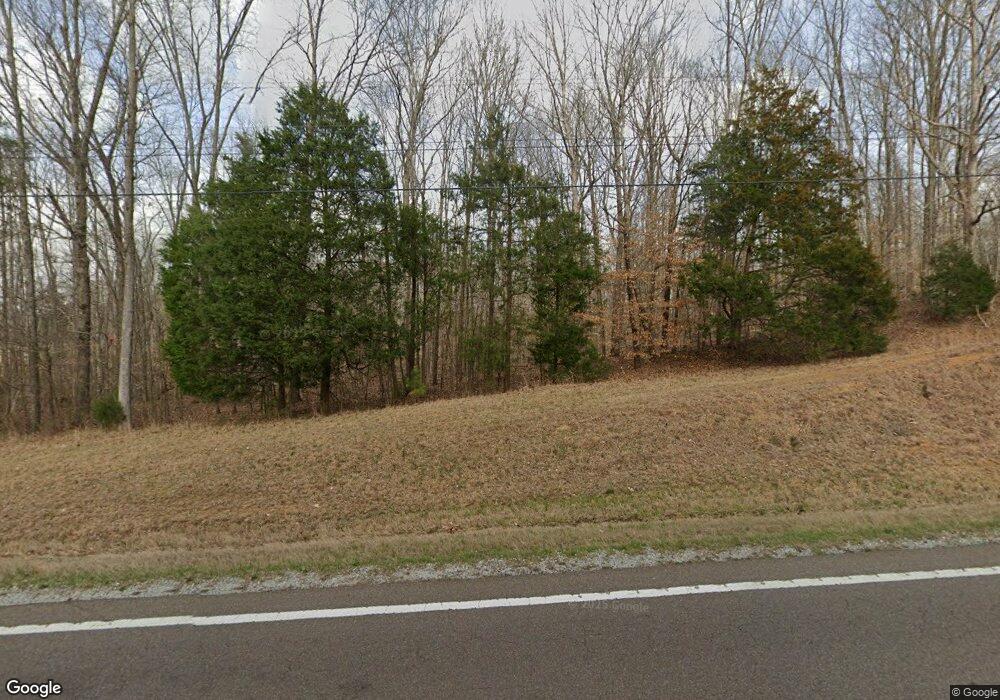
775 Highway 22 S Reagan, TN 38368
Estimated Value: $96,000 - $177,000
--
Bed
1
Bath
--
Sq Ft
2
Acres
About This Home
This home is located at 775 Highway 22 S, Reagan, TN 38368 and is currently estimated at $126,631. 775 Highway 22 S is a home located in Henderson County.
Ownership History
Date
Name
Owned For
Owner Type
Purchase Details
Closed on
Mar 4, 2021
Sold by
Long Marilyn A
Bought by
Manley Brian E
Current Estimated Value
Purchase Details
Closed on
Apr 30, 2013
Sold by
Hopper Donald Greg
Bought by
Long Marilyn A
Purchase Details
Closed on
Jan 17, 2007
Bought by
Wood Christopher and Wood Mitzi
Purchase Details
Closed on
Nov 2, 1998
Sold by
Earlis Johnson
Bought by
Johnson Earlis A and Johnson Barbara A
Purchase Details
Closed on
May 16, 1988
Bought by
Christopherson Greg A and Christopherson Cathy
Create a Home Valuation Report for This Property
The Home Valuation Report is an in-depth analysis detailing your home's value as well as a comparison with similar homes in the area
Home Values in the Area
Average Home Value in this Area
Purchase History
| Date | Buyer | Sale Price | Title Company |
|---|---|---|---|
| Manley Brian E | $75,000 | None Available | |
| Long Marilyn A | $45,000 | -- | |
| Wood Christopher | $30,000 | -- | |
| Johnson Earlis A | $45,000 | -- | |
| Christopherson Greg A | -- | -- |
Source: Public Records
Tax History Compared to Growth
Tax History
| Year | Tax Paid | Tax Assessment Tax Assessment Total Assessment is a certain percentage of the fair market value that is determined by local assessors to be the total taxable value of land and additions on the property. | Land | Improvement |
|---|---|---|---|---|
| 2024 | $202 | $12,750 | $3,100 | $9,650 |
| 2023 | $202 | $12,750 | $3,100 | $9,650 |
| 2022 | $260 | $10,950 | $2,400 | $8,550 |
| 2021 | $260 | $10,950 | $2,400 | $8,550 |
| 2020 | $260 | $10,950 | $2,400 | $8,550 |
| 2019 | $260 | $10,950 | $2,400 | $8,550 |
| 2018 | $239 | $10,475 | $2,400 | $8,075 |
| 2017 | $239 | $10,475 | $2,400 | $8,075 |
| 2016 | $241 | $10,150 | $2,400 | $7,750 |
| 2015 | $241 | $10,150 | $2,400 | $7,750 |
| 2014 | $241 | $10,142 | $0 | $0 |
Source: Public Records
Map
Nearby Homes
- 0 Guy Hart Rd
- 4646 Highway 100
- 795 Center Point Rd N
- 165 Tennessee 201
- 105 Center Hill Wright Rd
- 105 Center Hill-Wright Rd
- 320 Benson Rd
- 0 Old Lula Rd
- 0 McEarl Ln
- 6675 Highway 100
- 0 Hickory Ln
- 000 Stewart Cemetery Ln
- 325 Jennings Rd
- 0 Mount Zion Cemetery Rd Unit RTC2995294
- 0 Mount Zion Cemetery Rd Unit 10205808
- 0 Mount Zion Cemetery Rd Unit 2504381
- 68 Beecham Ln
- 1330 McBride Cemetery Rd
- 0 Bartlett Rd Unit 2502351
- 2095 Ebenezer Rd
- 90 Union Hill Rd
- 825 Highway 22 S
- 170 Union Hill Rd
- 697 Tennessee 22
- 778 Highway 22 S
- 181 Union Hill Rd
- 200 Union Hill Rd
- 345 Union Hill Rd
- 127 Union Hill Rd
- 0 Union Hill Rd
- 1999 Mount Moriah Rd
- 445 Union Hill Rd
- 525 Union Hill Rd
- 225 Union Hill Church Rd SW
- 180 Union Hill Church Rd
- 2785 Highway 100
- 225 Union Hill Church Rd
- 225 Union Hill Church Rd
- 1980 Mount Moriah Rd
- 2765 Highway 100
