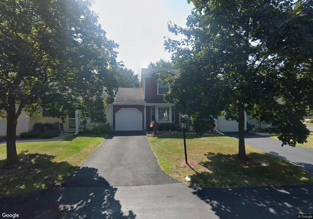
775 Nantucket Way Unit 1 Island Lake, IL 60042
West Island Lake NeighborhoodEstimated Value: $229,000 - $246,364
3
Beds
4
Baths
1,297
Sq Ft
$183/Sq Ft
Est. Value
About This Home
This home is located at 775 Nantucket Way Unit 1, Island Lake, IL 60042 and is currently estimated at $237,341, approximately $182 per square foot. 775 Nantucket Way Unit 1 is a home located in McHenry County with nearby schools including Cotton Creek School, Matthews Middle School, and Wauconda High School.
Ownership History
Date
Name
Owned For
Owner Type
Purchase Details
Closed on
Sep 29, 1998
Sold by
Sutton Mary J
Bought by
Kedzior Zbigniew Z and Kedzior Grazyna
Current Estimated Value
Home Financials for this Owner
Home Financials are based on the most recent Mortgage that was taken out on this home.
Original Mortgage
$100,400
Outstanding Balance
$21,982
Interest Rate
6.9%
Mortgage Type
FHA
Estimated Equity
$215,359
Create a Home Valuation Report for This Property
The Home Valuation Report is an in-depth analysis detailing your home's value as well as a comparison with similar homes in the area
Home Values in the Area
Average Home Value in this Area
Purchase History
| Date | Buyer | Sale Price | Title Company |
|---|---|---|---|
| Kedzior Zbigniew Z | $101,000 | Chicago Title |
Source: Public Records
Mortgage History
| Date | Status | Borrower | Loan Amount |
|---|---|---|---|
| Open | Kedzior Zbigniew Z | $100,400 |
Source: Public Records
Tax History Compared to Growth
Tax History
| Year | Tax Paid | Tax Assessment Tax Assessment Total Assessment is a certain percentage of the fair market value that is determined by local assessors to be the total taxable value of land and additions on the property. | Land | Improvement |
|---|---|---|---|---|
| 2024 | $3,967 | $58,275 | $8,475 | $49,800 |
| 2023 | $3,769 | $52,260 | $7,600 | $44,660 |
| 2022 | $4,194 | $48,093 | $6,950 | $41,143 |
| 2021 | $4,039 | $45,090 | $6,516 | $38,574 |
| 2020 | $3,819 | $43,739 | $6,321 | $37,418 |
| 2019 | $3,756 | $41,585 | $6,010 | $35,575 |
| 2018 | $2,717 | $31,499 | $5,645 | $25,854 |
| 2017 | $2,621 | $30,177 | $5,408 | $24,769 |
| 2016 | $2,537 | $28,792 | $5,160 | $23,632 |
| 2013 | -- | $34,083 | $4,911 | $29,172 |
Source: Public Records
Map
Nearby Homes
- 811 Newport Dr
- 3625 Newport Dr
- 1040 Wimbledon Dr Unit 7
- 1125 Revere Ln
- 404 Lauren Ln
- 833 Dartmouth Dr Unit 7
- 3525 Southport Dr
- 0 Southport Dr
- 318 David Ct
- NEC Route 176 & Westridge Dr
- 4024 Newport Dr
- 3816 Riverside Dr
- 2610 S Thomas Ct
- Lot 12 W Northeast Shore Dr
- Lot 11 W Northeast Shore Dr
- Lot 10 W Northeast Shore Dr
- Lot 9 W Northeast Shore Dr
- Lot 8 W Northeast Shore Dr
- Lot 7 W Northeast Shore Dr
- Lot 4 W Northeast Shore Dr
- 781 Nantucket Way
- 763 Nantucket Way Unit 1
- 757 Nantucket Way
- 752 Nantucket Way Unit 1
- 746 Nantucket Way
- 740 Nantucket Way Unit 1
- 790 Brittany Ln
- 759 Brittany Ln
- 734 Nantucket Way
- 747 Nantucket Way
- 784 Brittany Ln Unit 1
- 801 Lexington Ln Unit 1
- 753 Brittany Ln Unit 1
- 753 Brittany Ln
- 741 Nantucket Way
- 741 Nantucket Way Unit 741
- 3293 Waterford Way
- 778 Brittany Ln Unit 1
- 735 Nantucket Way
- 747 Brittany Ln