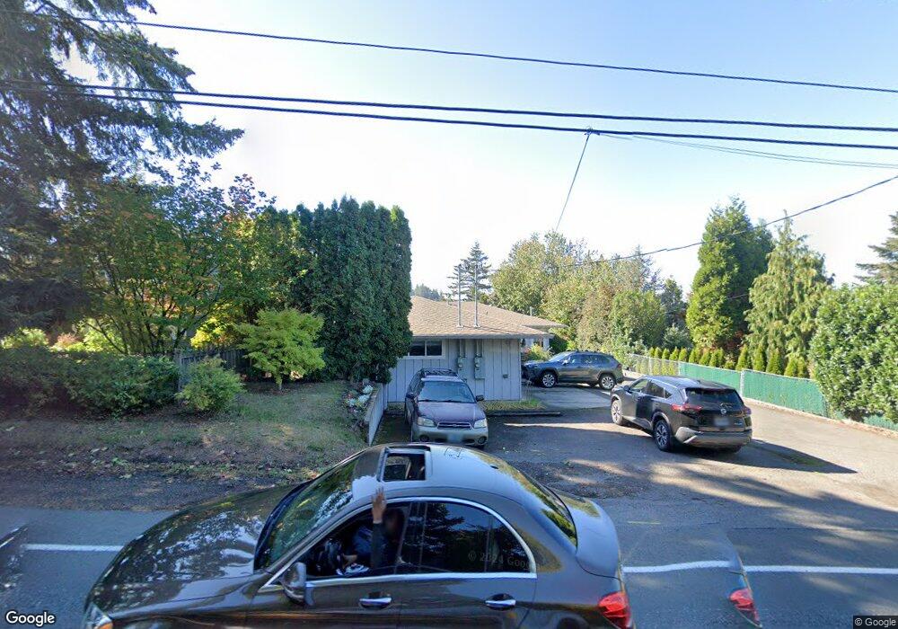
775 NW Birdsdale Ave Unit 785 Gresham, OR 97030
Northwest Gresham NeighborhoodEstimated Value: $402,000 - $486,000
4
Beds
2
Baths
1,564
Sq Ft
$287/Sq Ft
Est. Value
About This Home
This home is located at 775 NW Birdsdale Ave Unit 785, Gresham, OR 97030 and is currently estimated at $449,248, approximately $287 per square foot. 775 NW Birdsdale Ave Unit 785 is a home located in Multnomah County with nearby schools including North Gresham Elementary School, Clear Creek Middle School, and Gresham High School.
Ownership History
Date
Name
Owned For
Owner Type
Purchase Details
Closed on
Nov 24, 2021
Sold by
Huddleston James G
Bought by
Spear Brian and Desousa Theresa
Current Estimated Value
Home Financials for this Owner
Home Financials are based on the most recent Mortgage that was taken out on this home.
Original Mortgage
$257,250
Outstanding Balance
$235,263
Interest Rate
3%
Mortgage Type
New Conventional
Estimated Equity
$213,985
Create a Home Valuation Report for This Property
The Home Valuation Report is an in-depth analysis detailing your home's value as well as a comparison with similar homes in the area
Home Values in the Area
Average Home Value in this Area
Purchase History
| Date | Buyer | Sale Price | Title Company |
|---|---|---|---|
| Spear Brian | $367,500 | First American |
Source: Public Records
Mortgage History
| Date | Status | Borrower | Loan Amount |
|---|---|---|---|
| Open | Spear Brian | $257,250 |
Source: Public Records
Tax History Compared to Growth
Tax History
| Year | Tax Paid | Tax Assessment Tax Assessment Total Assessment is a certain percentage of the fair market value that is determined by local assessors to be the total taxable value of land and additions on the property. | Land | Improvement |
|---|---|---|---|---|
| 2025 | $5,357 | $263,260 | -- | -- |
| 2024 | $5,128 | $255,600 | -- | -- |
| 2023 | $4,672 | $248,160 | $0 | $0 |
| 2022 | $4,542 | $240,940 | $0 | $0 |
| 2021 | $4,427 | $233,930 | $0 | $0 |
| 2020 | $4,166 | $227,120 | $0 | $0 |
| 2019 | $4,057 | $220,510 | $0 | $0 |
| 2018 | $3,868 | $214,090 | $0 | $0 |
| 2017 | $3,711 | $207,860 | $0 | $0 |
| 2016 | $3,272 | $201,810 | $0 | $0 |
| 2015 | $3,170 | $195,940 | $0 | $0 |
| 2014 | $3,002 | $187,960 | $0 | $0 |
Source: Public Records
Map
Nearby Homes
- 0 NW Mawrcrest Dr Unit 35-36 354362673
- 0 NW Mawrcrest Dr Unit 31-34
- 0 NW Mawrcrest Dr Unit 8-11 152456654
- 0 NW Mawrcrest Dr Unit 27-30 621615619
- 181 NW Mawrcrest Dr
- 855 NW Mawrcrest Dr
- 815 NW Battaglia Ave
- 2514 NW 3rd Terrace
- 1125 NW Bella Vista Place
- 1387 NW Riverview Ave Unit 14B
- 2528 NW 2nd Terrace
- 2590 NW 2nd Terrace
- 2591 NW 1st Dr
- 85 SW Mawrcrest Ave
- 994 NW Wallula Ave
- 1758 NW 18th Ct
- 2442 SE 190th Ave
- 2629 SE 190th Ave
- 2549 SE 190th Ave
- 215 SW Towle Ave
- 2275 NW 7th Place
- 2245 NW 7th Place
- 745 NW Birdsdale Ave Unit 765
- 725 NW Birdsdale Ave
- 2250 NW 8th Ct
- 2325 NW 7th Place
- 2310 NW 8th Ct
- 2345 NW 7th Place
- 2260 NW 7th Place
- 790 NW Mawrcrest Dr
- 800 NW Mawrcrest Dr
- 785 NW Cascade Ct
- 2320 NW 7th Place
- 2220 NW 7th Place Unit 2230
- 745 NW Cascade Ct
- 825 NW Cascade Ct
- 780 NW Mawrcrest Dr
- 919 NW Birdsdale Ave
- 2295 NW 8th Ct
- 2185 NW 6th Place