775 Scruggs Cir Canton, NC 28716
Estimated Value: $289,000 - $383,000
3
Beds
2
Baths
910
Sq Ft
$363/Sq Ft
Est. Value
About This Home
This home is located at 775 Scruggs Cir, Canton, NC 28716 and is currently estimated at $330,599, approximately $363 per square foot. 775 Scruggs Cir is a home located in Haywood County with nearby schools including North Canton Elementary School, Canton Middle, and Pisgah High School.
Ownership History
Date
Name
Owned For
Owner Type
Purchase Details
Closed on
Jun 28, 2007
Sold by
Moffit David H and Erb Cynthia L
Bought by
Moffitt David H
Current Estimated Value
Home Financials for this Owner
Home Financials are based on the most recent Mortgage that was taken out on this home.
Original Mortgage
$133,000
Interest Rate
6.16%
Mortgage Type
New Conventional
Create a Home Valuation Report for This Property
The Home Valuation Report is an in-depth analysis detailing your home's value as well as a comparison with similar homes in the area
Home Values in the Area
Average Home Value in this Area
Purchase History
| Date | Buyer | Sale Price | Title Company |
|---|---|---|---|
| Moffitt David H | -- | None Available |
Source: Public Records
Mortgage History
| Date | Status | Borrower | Loan Amount |
|---|---|---|---|
| Closed | Moffitt David H | $133,000 |
Source: Public Records
Tax History Compared to Growth
Tax History
| Year | Tax Paid | Tax Assessment Tax Assessment Total Assessment is a certain percentage of the fair market value that is determined by local assessors to be the total taxable value of land and additions on the property. | Land | Improvement |
|---|---|---|---|---|
| 2025 | -- | $201,000 | $27,300 | $173,700 |
| 2024 | $1,405 | $201,000 | $27,300 | $173,700 |
| 2023 | $1,405 | $201,000 | $27,300 | $173,700 |
| 2022 | $1,375 | $201,000 | $27,300 | $173,700 |
| 2021 | $1,375 | $201,000 | $27,300 | $173,700 |
| 2020 | $1,174 | $155,000 | $18,200 | $136,800 |
| 2019 | $1,179 | $155,000 | $18,200 | $136,800 |
| 2018 | $1,179 | $155,000 | $18,200 | $136,800 |
| 2017 | $1,179 | $155,000 | $0 | $0 |
| 2016 | $1,142 | $153,800 | $0 | $0 |
| 2015 | $1,127 | $153,800 | $0 | $0 |
| 2014 | $1,017 | $153,800 | $0 | $0 |
Source: Public Records
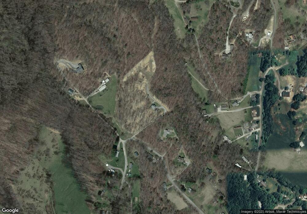
Map
Nearby Homes
- 672 Porters Ridge
- 60 Porters Ridge Unit 2
- 492 Scruggs Cir
- 400 Sunset Heights
- 40 Sunset Heights
- 603 Willis Cove Rd
- 132 Hurd Rd
- 303 Johnson Farm Rd
- 359 Vision Rd
- 145 Keener Rd
- 204 Mountain Spring Ln
- 00 Carver Cove Rd
- 283 Blake Dr
- 1294 Beaverdam Rd
- 126 Sweetwater Dr
- 00 Beaverdam Rd
- 324 Blake Dr
- 508 Blake Dr Unit 18 & 19
- 1199 & 1193 Newfound St
- 120 Simonds Ridge
- 847 Scruggs Cir
- 846 Scruggs Cir
- 759 Scruggs Cir
- 459 Rolling Hills Rd
- 893 Scruggs Cir
- 157 Jingles Ln
- 763 Scruggs Cir
- 118 Jingles Ln
- 906 Scruggs Cir
- Scruggs Cir
- 89 Woodcrest Dr
- 7701 Woodcrest Dr
- 425 Rolling Hills Rd
- 14 Woodcrest Dr
- 614 Rolling Hills Rd
- 77 Pale Ale Trail
- 20 Hope Way
- 7 Hope Way
- 389 Rolling Hills Rd
- TBD Rolling Hills Rd Unit B3 & B1