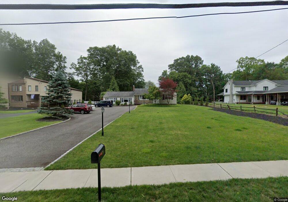
775 Westwood Ave Rivervale, NJ 07675
Estimated Value: $816,000 - $909,906
--
Bed
--
Bath
1,667
Sq Ft
$519/Sq Ft
Est. Value
About This Home
This home is located at 775 Westwood Ave, Rivervale, NJ 07675 and is currently estimated at $865,977, approximately $519 per square foot. 775 Westwood Ave is a home located in Bergen County with nearby schools including Pascack Valley High School and Primoris Academy.
Ownership History
Date
Name
Owned For
Owner Type
Purchase Details
Closed on
Aug 8, 2002
Sold by
Sabato Joseph R
Bought by
Andresini Gary and Andresini Shannon
Current Estimated Value
Home Financials for this Owner
Home Financials are based on the most recent Mortgage that was taken out on this home.
Original Mortgage
$359,000
Outstanding Balance
$152,562
Interest Rate
6.61%
Estimated Equity
$713,415
Create a Home Valuation Report for This Property
The Home Valuation Report is an in-depth analysis detailing your home's value as well as a comparison with similar homes in the area
Home Values in the Area
Average Home Value in this Area
Purchase History
| Date | Buyer | Sale Price | Title Company |
|---|---|---|---|
| Andresini Gary | $449,000 | -- |
Source: Public Records
Mortgage History
| Date | Status | Borrower | Loan Amount |
|---|---|---|---|
| Open | Andresini Gary | $359,000 |
Source: Public Records
Tax History Compared to Growth
Tax History
| Year | Tax Paid | Tax Assessment Tax Assessment Total Assessment is a certain percentage of the fair market value that is determined by local assessors to be the total taxable value of land and additions on the property. | Land | Improvement |
|---|---|---|---|---|
| 2025 | $14,704 | $538,400 | $347,600 | $190,800 |
| 2024 | $14,612 | $538,400 | $347,600 | $190,800 |
| 2023 | $14,241 | $538,400 | $347,600 | $190,800 |
| 2022 | $14,241 | $538,400 | $347,600 | $190,800 |
| 2021 | $13,907 | $538,400 | $347,600 | $190,800 |
| 2020 | $14,068 | $538,400 | $347,600 | $190,800 |
| 2019 | $13,745 | $538,400 | $347,600 | $190,800 |
| 2018 | $13,595 | $538,400 | $347,600 | $190,800 |
| 2017 | $13,395 | $538,400 | $347,600 | $190,800 |
| 2016 | $13,013 | $538,400 | $347,600 | $190,800 |
| 2015 | $12,642 | $538,400 | $347,600 | $190,800 |
| 2014 | $12,232 | $538,400 | $347,600 | $190,800 |
Source: Public Records
Map
Nearby Homes
- 111 Ivy Ln
- 803 Marshall Rd
- 722 Wilson Ct
- 854 Cambridge Rd
- 794 Blauvelt St
- 271 Collignon Way
- 271 Collignon Way Unit 8B
- 271 Collignon Way Unit 4A
- 259 Collignon Way Unit 3A
- 149 Brookside Ave
- 820 Clauss Ln
- 258 Lynn St
- 276 River Dr
- 258 Rivervale Rd
- 443 Lynn St
- 21 Birchwood Rd
- 107 Parkway
- 1011 Washington Ave S
- 30 Herring St
- 189 Woodland Ave
- 783 Westwood Ave
- 771 Westwood Ave
- 774 Tiffany Ave
- 770 Tiffany Ave
- 785 Westwood Ave
- 778 Tiffany Ave
- 765 Westwood Ave
- 766 Tiffany Ave
- 782 Tiffany Ave
- 791 Westwood Ave
- 762 Tiffany Ave
- 775 Tiffany Ave
- 771 Tiffany Ave
- 759 Westwood Ave
- 798 Westwood Ave
- 783 Tiffany Ave
- 758 Tiffany Ave
- 114 Ivy Ln
- 793 Westwood Ave
- 797 Westwood Ave