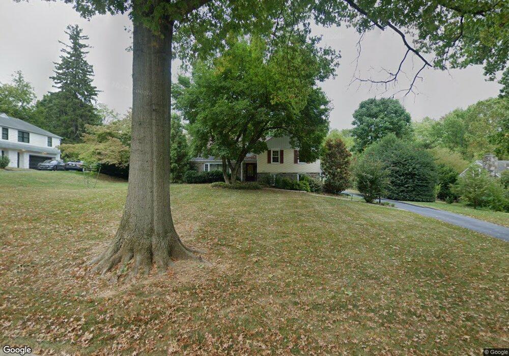
775 Woodlea Rd Bryn Mawr, PA 19010
Rosemont NeighborhoodEstimated Value: $970,000 - $1,177,000
3
Beds
3
Baths
2,857
Sq Ft
$379/Sq Ft
Est. Value
About This Home
This home is located at 775 Woodlea Rd, Bryn Mawr, PA 19010 and is currently estimated at $1,081,672, approximately $378 per square foot. 775 Woodlea Rd is a home located in Delaware County with nearby schools including Radnor El School, Radnor Middle School, and Radnor Senior High School.
Ownership History
Date
Name
Owned For
Owner Type
Purchase Details
Closed on
Apr 14, 2004
Sold by
Whitehead Mary Louise and Whitehead William H
Bought by
Odorisio Richard J and Odorisio Melissa A
Current Estimated Value
Home Financials for this Owner
Home Financials are based on the most recent Mortgage that was taken out on this home.
Original Mortgage
$395,000
Outstanding Balance
$77,318
Interest Rate
3.37%
Mortgage Type
Fannie Mae Freddie Mac
Estimated Equity
$1,004,354
Purchase Details
Closed on
Oct 16, 2001
Sold by
Whitehead John A and Whitehead Mary Louise
Bought by
Whitehead John A and Whitehead Mary Louise
Create a Home Valuation Report for This Property
The Home Valuation Report is an in-depth analysis detailing your home's value as well as a comparison with similar homes in the area
Home Values in the Area
Average Home Value in this Area
Purchase History
| Date | Buyer | Sale Price | Title Company |
|---|---|---|---|
| Odorisio Richard J | $495,000 | Commonwealth Title | |
| Whitehead John A | -- | -- |
Source: Public Records
Mortgage History
| Date | Status | Borrower | Loan Amount |
|---|---|---|---|
| Open | Odorisio Richard J | $395,000 | |
| Closed | Odorisio Richard J | $50,001 |
Source: Public Records
Tax History Compared to Growth
Tax History
| Year | Tax Paid | Tax Assessment Tax Assessment Total Assessment is a certain percentage of the fair market value that is determined by local assessors to be the total taxable value of land and additions on the property. | Land | Improvement |
|---|---|---|---|---|
| 2025 | $11,972 | $592,110 | $229,090 | $363,020 |
| 2024 | $11,972 | $592,110 | $229,090 | $363,020 |
| 2023 | $11,497 | $592,110 | $229,090 | $363,020 |
| 2022 | $11,372 | $592,110 | $229,090 | $363,020 |
| 2021 | $18,266 | $592,110 | $229,090 | $363,020 |
| 2020 | $9,737 | $279,900 | $130,880 | $149,020 |
| 2019 | $9,462 | $279,900 | $130,880 | $149,020 |
| 2018 | $9,277 | $279,900 | $0 | $0 |
| 2017 | $9,082 | $279,900 | $0 | $0 |
| 2016 | $1,567 | $279,900 | $0 | $0 |
| 2015 | $1,567 | $279,900 | $0 | $0 |
| 2014 | $1,536 | $279,900 | $0 | $0 |
Source: Public Records
Map
Nearby Homes
- 215 Cornell Dr
- 329 Williams Rd
- 390 S Bryn Mawr Ave
- 223 Fitzwilliams Rd
- 221 Fitzwilliams Rd
- 408 Barbara Ln Unit B
- 913 Drexel Ln
- 635 S Ithan Ave
- 406 Barclay Rd
- 932 Wootton Rd
- 117 Debaran Ln
- 560 S Bryn Mawr Ave
- 219 S Ithan Ave
- 7 Lockwood Ln
- 4 Lockwood Ln
- 1030 E Lancaster Ave Unit 923
- 3 Lockwood Ln
- 200 S Ithan Ave
- 8 Lockwood Ln
- 12 Lowrys Ln
- 799 Woodlea Rd
- 779 Woodlea Rd
- 771 Woodlea Rd
- 783 Woodlea Rd
- 767 Woodlea Rd
- 772 Woodlea Rd
- 780 Woodlea Rd
- 784 Woodlea Rd
- 787 Woodlea Rd
- 770 Robinhood Rd
- 768 Woodlea Rd
- 759 Woodlea Rd
- 774 Robinhood Rd
- 764 Woodlea Rd
- 766 Robinhood Rd
- 788 Woodlea Rd
- 791 Woodlea Rd
- 778 Robinhood Rd
- 751 Woodlea Rd
- 760 Woodlea Rd