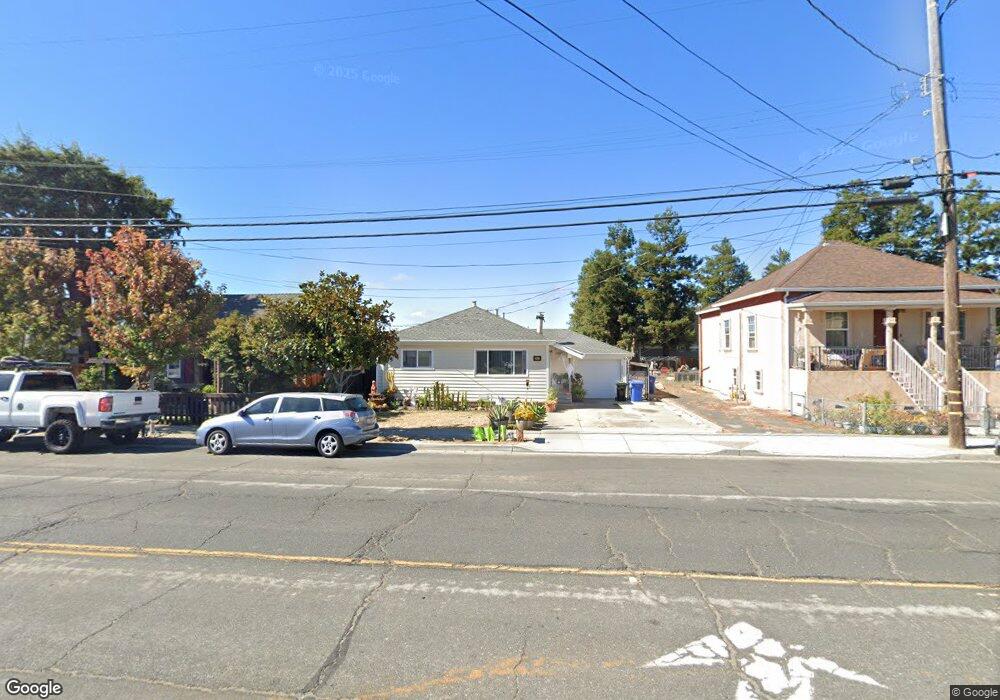
7751 Thornton Ave Newark, CA 94560
Estimated Value: $823,000 - $918,000
2
Beds
1
Bath
884
Sq Ft
$990/Sq Ft
Est. Value
About This Home
This home is located at 7751 Thornton Ave, Newark, CA 94560 and is currently estimated at $875,099, approximately $989 per square foot. 7751 Thornton Ave is a home located in Alameda County with nearby schools including August Schilling Elementary School, Newark Junior High School, and Newark Memorial High School.
Ownership History
Date
Name
Owned For
Owner Type
Purchase Details
Closed on
Mar 27, 2025
Sold by
Ornelas Reyes Gloria and Ornellas Reyes Gloria
Bought by
Gloria Ornelas Reyes Separate Property Trust and Reyes
Current Estimated Value
Purchase Details
Closed on
Jun 18, 2004
Sold by
Reyes Roberto
Bought by
Reyes Gloria Ornellas
Home Financials for this Owner
Home Financials are based on the most recent Mortgage that was taken out on this home.
Original Mortgage
$359,000
Interest Rate
6.37%
Mortgage Type
Purchase Money Mortgage
Purchase Details
Closed on
May 17, 2001
Sold by
Ibarra Jose R
Bought by
Cavada Darlene L
Create a Home Valuation Report for This Property
The Home Valuation Report is an in-depth analysis detailing your home's value as well as a comparison with similar homes in the area
Home Values in the Area
Average Home Value in this Area
Purchase History
| Date | Buyer | Sale Price | Title Company |
|---|---|---|---|
| Gloria Ornelas Reyes Separate Property Trust | -- | None Listed On Document | |
| Reyes Gloria Ornellas | -- | First American Title Company | |
| Reyes Gloria Ornellas | $359,000 | First American Title Company | |
| Cavada Darlene L | -- | -- |
Source: Public Records
Mortgage History
| Date | Status | Borrower | Loan Amount |
|---|---|---|---|
| Previous Owner | Reyes Gloria Ornellas | $359,000 |
Source: Public Records
Tax History Compared to Growth
Tax History
| Year | Tax Paid | Tax Assessment Tax Assessment Total Assessment is a certain percentage of the fair market value that is determined by local assessors to be the total taxable value of land and additions on the property. | Land | Improvement |
|---|---|---|---|---|
| 2025 | $6,529 | $510,393 | $153,118 | $357,275 |
| 2024 | $6,529 | $500,387 | $150,116 | $350,271 |
| 2023 | $6,346 | $490,576 | $147,173 | $343,403 |
| 2022 | $6,258 | $480,958 | $144,287 | $336,671 |
| 2021 | $6,104 | $471,531 | $141,459 | $330,072 |
| 2020 | $5,998 | $466,700 | $140,010 | $326,690 |
| 2019 | $5,915 | $457,548 | $137,264 | $320,284 |
| 2018 | $5,826 | $448,577 | $134,573 | $314,004 |
| 2017 | $5,678 | $439,781 | $131,934 | $307,847 |
| 2016 | $5,616 | $431,158 | $129,347 | $301,811 |
| 2015 | $5,597 | $424,681 | $127,404 | $297,277 |
| 2014 | $4,951 | $375,000 | $112,500 | $262,500 |
Source: Public Records
Map
Nearby Homes
- 36985 Walnut St
- 7843 Railroad Ave
- 37051 Walnut St
- 36563 Beutke Dr
- 36702 Olive St
- 36466 Haley St
- 36535 Mulberry St
- 36976 Mulberry St
- 36523 Cherry St
- 37136 Magnolia St
- 37282 Magnolia St
- 6364 Noel Ave
- 8360 Marine Way
- 36593 Leone St
- 36184 Toulouse St
- 37356 Suncrest St
- 6278 Dairy Ave
- 37561 Breakers Rd
- 6153 Thornton Ave Unit D
- 7574 Birkdale Dr
- 7767 Thornton Ave
- 7735 Thornton Ave
- 7785 Thornton Ave
- 7719 Thornton Ave
- 36948 Locust St
- 36932 Locust St
- 7705 Thornton Ave
- 36967 Elm St
- 36967 Elm St
- 36916 Locust St
- 7752 Thornton Ave
- 36951 Elm St
- 36997 Locust St
- 36878 Locust St
- 36935 Elm St
- 7833 Thornton Ave
- 37022 Locust St
- 37031 Elm St
- 36959 Locust St
- 36879 Elm St