7755 Erickson Rd Junction City, KS 66441
Estimated Value: $120,000 - $143,439
1
Bed
1
Bath
988
Sq Ft
$135/Sq Ft
Est. Value
About This Home
This home is located at 7755 Erickson Rd, Junction City, KS 66441 and is currently estimated at $133,146, approximately $134 per square foot. 7755 Erickson Rd is a home located in Geary County with nearby schools including Sheridan Elementary School, Junction City Middle School, and Junction City Senior High School.
Ownership History
Date
Name
Owned For
Owner Type
Purchase Details
Closed on
Jun 27, 2022
Sold by
Jackson Ashley L and Jackson Jarred Allan
Bought by
Grullon Guaroa and Grullon Natividad
Current Estimated Value
Purchase Details
Closed on
Oct 30, 2008
Sold by
Erichsen George and Erichsen Tanya
Bought by
Bonnett William L and Bonnett William Lemuel
Home Financials for this Owner
Home Financials are based on the most recent Mortgage that was taken out on this home.
Original Mortgage
$91,935
Interest Rate
5.99%
Mortgage Type
VA
Create a Home Valuation Report for This Property
The Home Valuation Report is an in-depth analysis detailing your home's value as well as a comparison with similar homes in the area
Home Values in the Area
Average Home Value in this Area
Purchase History
| Date | Buyer | Sale Price | Title Company |
|---|---|---|---|
| Grullon Guaroa | -- | Junction City Abstract Title | |
| Bonnett William L | -- | -- |
Source: Public Records
Mortgage History
| Date | Status | Borrower | Loan Amount |
|---|---|---|---|
| Previous Owner | Bonnett William L | $91,935 |
Source: Public Records
Tax History Compared to Growth
Tax History
| Year | Tax Paid | Tax Assessment Tax Assessment Total Assessment is a certain percentage of the fair market value that is determined by local assessors to be the total taxable value of land and additions on the property. | Land | Improvement |
|---|---|---|---|---|
| 2025 | $1,345 | $13,546 | $4,179 | $9,367 |
| 2024 | $1,173 | $12,659 | $4,035 | $8,624 |
| 2023 | $1,234 | $12,173 | $4,071 | $8,102 |
| 2022 | $0 | $12,461 | $4,502 | $7,959 |
| 2021 | $0 | $10,948 | $3,110 | $7,838 |
| 2020 | $1,265 | $10,930 | $2,893 | $8,037 |
| 2019 | $1,328 | $11,414 | $2,637 | $8,777 |
| 2018 | $1,290 | $11,111 | $2,579 | $8,532 |
| 2017 | $1,306 | $11,112 | $2,229 | $8,883 |
| 2016 | $1,266 | $10,649 | $2,282 | $8,367 |
| 2015 | $1,114 | $9,853 | $1,350 | $8,503 |
| 2014 | $1,083 | $10,038 | $2,178 | $7,860 |
Source: Public Records
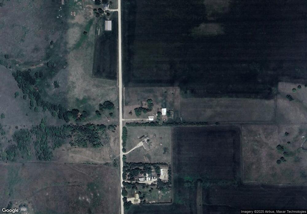
Map
Nearby Homes
- 0000 Southwind
- 0 K57 Hwy Unit HMS2560090
- 610 Rockledge Dr
- 815 S Adams St
- 00000 S K57
- 0 Junction City Land Bank Lots Unit FHR20240052
- 511 S Franklin St
- 104, 102, 000 W Flint Hills
- 210 W Ash St
- 1508 Knollcrest Dr
- 501 Oak St
- 222 W Ash St
- 904 Mcclure St
- 510 S Washington St
- 518 S Jefferson St
- 1325 S Garfield St
- 222 W Elm St
- 510 Coronado Dr
- 128 W Pine St
- 402 W Vine St