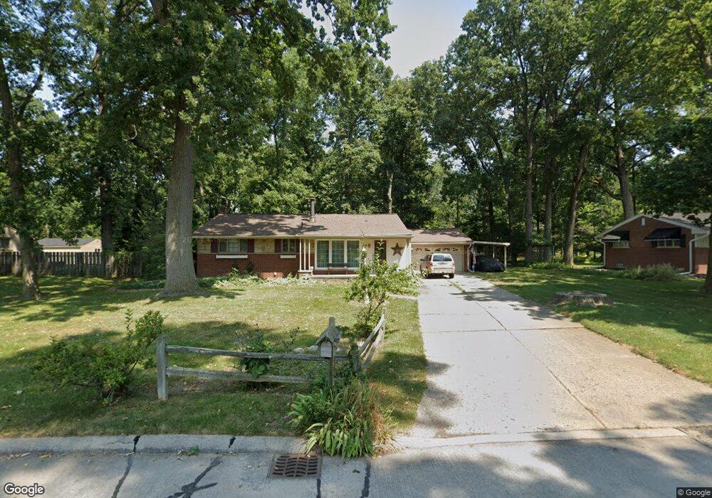
7756 Bournemouth Ave Grosse Ile, MI 48138
Estimated Value: $300,311 - $339,000
3
Beds
2
Baths
1,736
Sq Ft
$182/Sq Ft
Est. Value
About This Home
This home is located at 7756 Bournemouth Ave, Grosse Ile, MI 48138 and is currently estimated at $316,078, approximately $182 per square foot. 7756 Bournemouth Ave is a home located in Wayne County with nearby schools including St. Cyprian Elementary School.
Ownership History
Date
Name
Owned For
Owner Type
Purchase Details
Closed on
Oct 4, 2011
Sold by
Secco Robert W and Secco Joanna L
Bought by
Dumas Joseph E and Dumas Shelley
Current Estimated Value
Home Financials for this Owner
Home Financials are based on the most recent Mortgage that was taken out on this home.
Original Mortgage
$171,612
Outstanding Balance
$117,721
Interest Rate
4.22%
Mortgage Type
VA
Estimated Equity
$198,357
Purchase Details
Closed on
Feb 27, 1995
Sold by
Lawrence W Lang
Bought by
Secco Robert W and Secco Joanna
Home Financials for this Owner
Home Financials are based on the most recent Mortgage that was taken out on this home.
Original Mortgage
$110,400
Interest Rate
9.12%
Mortgage Type
New Conventional
Create a Home Valuation Report for This Property
The Home Valuation Report is an in-depth analysis detailing your home's value as well as a comparison with similar homes in the area
Home Values in the Area
Average Home Value in this Area
Purchase History
| Date | Buyer | Sale Price | Title Company |
|---|---|---|---|
| Dumas Joseph E | $168,000 | None Available | |
| Secco Robert W | $138,000 | -- |
Source: Public Records
Mortgage History
| Date | Status | Borrower | Loan Amount |
|---|---|---|---|
| Open | Dumas Joseph E | $171,612 | |
| Previous Owner | Secco Robert W | $110,400 |
Source: Public Records
Tax History Compared to Growth
Tax History
| Year | Tax Paid | Tax Assessment Tax Assessment Total Assessment is a certain percentage of the fair market value that is determined by local assessors to be the total taxable value of land and additions on the property. | Land | Improvement |
|---|---|---|---|---|
| 2025 | $1,576 | $137,100 | $0 | $0 |
| 2024 | $1,576 | $127,800 | $0 | $0 |
| 2023 | $1,803 | $117,300 | $0 | $0 |
| 2022 | $5,473 | $107,800 | $0 | $0 |
| 2021 | $5,254 | $106,300 | $0 | $0 |
| 2019 | $4,857 | $92,100 | $0 | $0 |
| 2018 | $1,712 | $95,300 | $0 | $0 |
| 2017 | $6,748 | $92,100 | $0 | $0 |
| 2016 | $5,301 | $91,800 | $0 | $0 |
| 2015 | $8,331 | $84,700 | $0 | $0 |
| 2013 | $8,120 | $82,700 | $0 | $0 |
| 2012 | $1,720 | $80,100 | $28,200 | $51,900 |
Source: Public Records
Map
Nearby Homes
- 21604 E River Rd
- 21599 Parke Ln
- 8258 Concord Rd
- 21321 Knudsen Dr
- 20633 Canal Dr
- 21071 Thorofare Rd
- 21644 Knudsen Dr
- 22015 Ember Ct
- 22220 E River Rd
- 7806 Island Blvd
- 8232 Island Blvd
- 21438 Meridian Rd
- 8614 Island Blvd
- 21819 Meridian Rd
- 22133 Meridian Rd
- 9447 Whitall Ln
- 9281 Island Dr
- 20204 Island Estate Dr Unit 30
- 0 West River Unit 20250008619
- 9000 Ferry Rd
- 7780 Bournemouth Ave
- 7734 Bournemouth Ave
- 7753 Bournemouth Ave
- 7779 Bournemouth Ave
- 000 Parke Ln Unit 12
- 000 Parke Ln
- 7695 Wendell Ct
- 7725 Bournemouth Ave
- 7714 Bournemouth Ave
- 7910 Bournemouth Ave
- 0 Wendell Crt Unit 5470752
- 0 Wendell Crt Unit 216072591
- 0 Wendell Ct
- Lot Wendell Ct
- VACANT Parke Ln
- 7758 Coventry Ave
- 21301 Salisbury Ave
- 7782 Coventry Ave
- 7734 Coventry Ave
- 7911 Bournemouth Ave